



End-to-End Satellite Solutions, From Design to Delivery
Full-chain services covering satellite design, R&D, manufacturing, launch, and in-orbit operations — building your dedicated space assets.

Flexible Leasing, Effortless Satellite Ownership
Innovative financial leasing solutions that lower upfront costs, enabling businesses to access satellite data capabilities faster and more affordably.

Fully Managed Satellite Data Intelligence,
No Technical Expertise Required
From sub-meter optical imagery to cloud-penetrating synthetic aperture radar, we deliver full-spectrum satellite data services with global coverage.

Industry Solutions Driven by Satellite Data
Deep expertise in oil & gas, mining, agriculture, environment, and maritime sectors — transforming satellite data into high-value business insights.
FDE · Forward Deployed Engineers
We Don't Deliver Data. We Deliver Outcomes.
STARPATH GLOBAL operates on the FDE (Forward Deployed Engineer) model: our engineers embed on the front line of your business to identify high-value opportunities, design deployable remote sensing applications, and validate outcomes and ROI before any commercial commitment.
Traditional Satellite Vendors
- Sell imagery
- Deliver datasets
- Provide software
- Leave execution to the customer
STARPATH GLOBAL FDE Services
- Define business objectives
- Discover high-impact opportunities
- Design operational workflows
- Build the value case
- Validate ROI
- Support implementation
- 1Discover Opportunities
- 2Co-Create Solutions
- 3Validate ROI
- 4Scale Deployment
Pioneer Partner Program
Free value assessment and on-site engineering support — formal engagement only after ROI validation.
Apply for Free AssessmentApply for the Pioneer FDE ProgramIndustries & Applications
Satellite data empowers diverse industries with high-accuracy geospatial intelligence for smarter decisions.
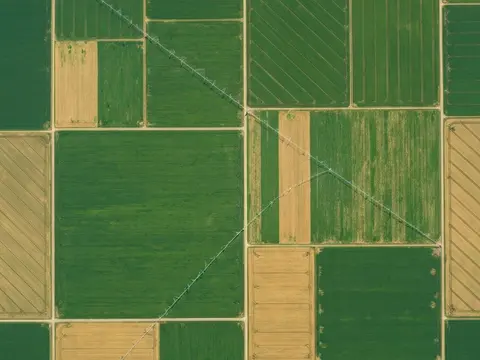
Agriculture
Monitor crops, soil and water with satellite data to support agricultural decisions.
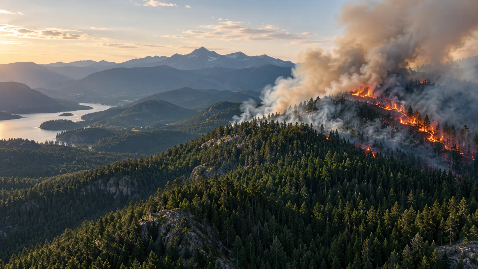
Wildfire
Connect satellite detection with drone and ground observations to support forest fire prevention and response.
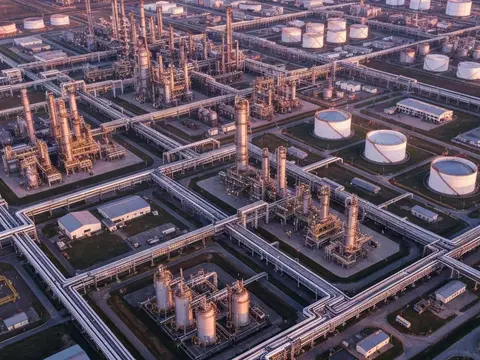
Oil, Gas Pipelines & Electricity
Monitor pipelines, oilfields and power infrastructure with coordinated satellite, drone and ground observations.
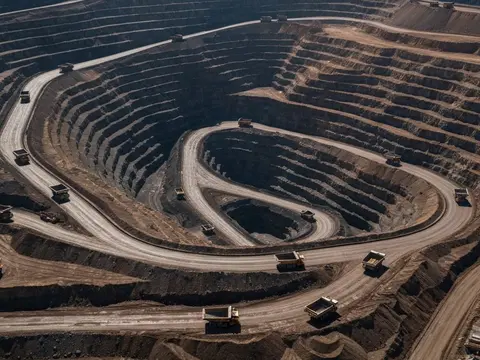
Mining Safety
Monitor mine stability, ground movement and environmental recovery with satellite and on-site data.
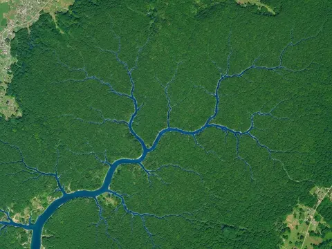
Environment
Track changes in forests and wetlands and help identify air and water pollution.
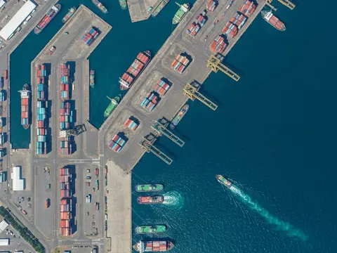
Maritime
Assess sea conditions, water quality and marine pollution using satellite observations and AI.
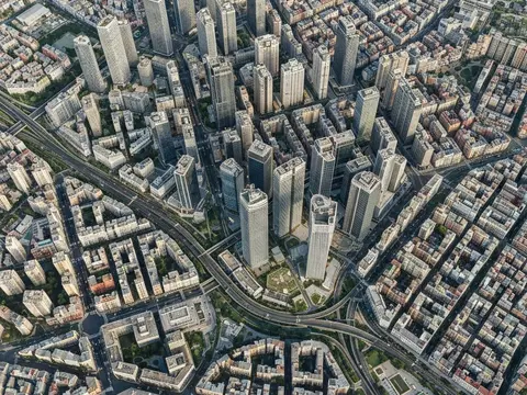
Urban Management
Support city planning and operations with construction monitoring, subsidence analysis and 3D mapping.
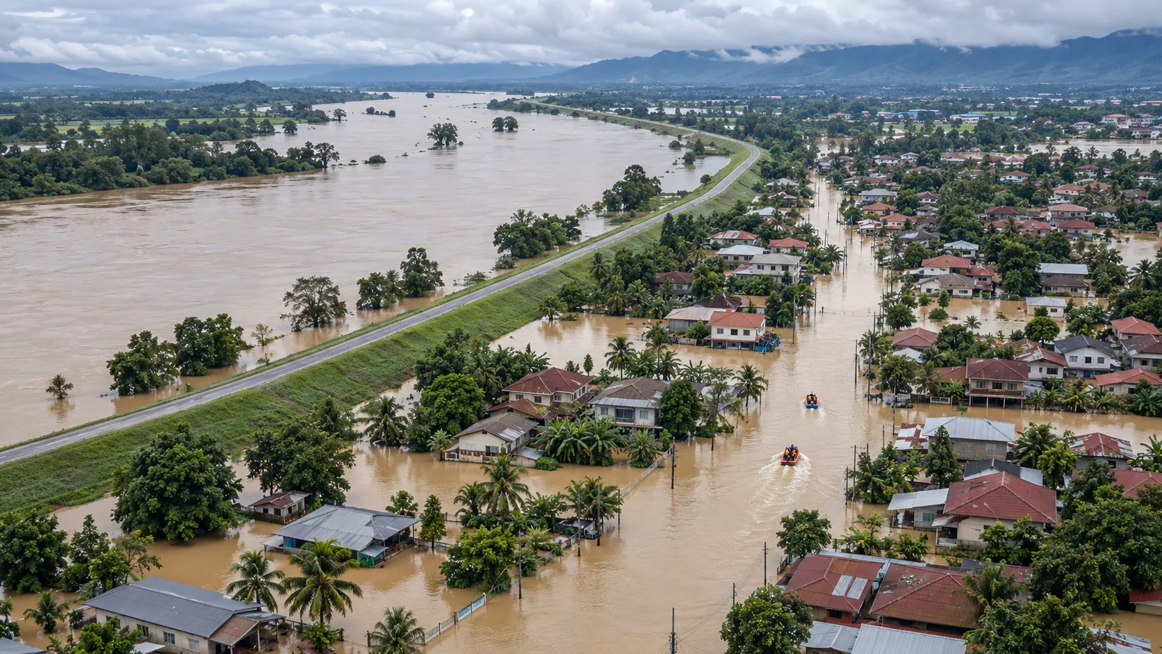
Emergency Management
Support disaster preparedness and response with early warnings and damage assessments.
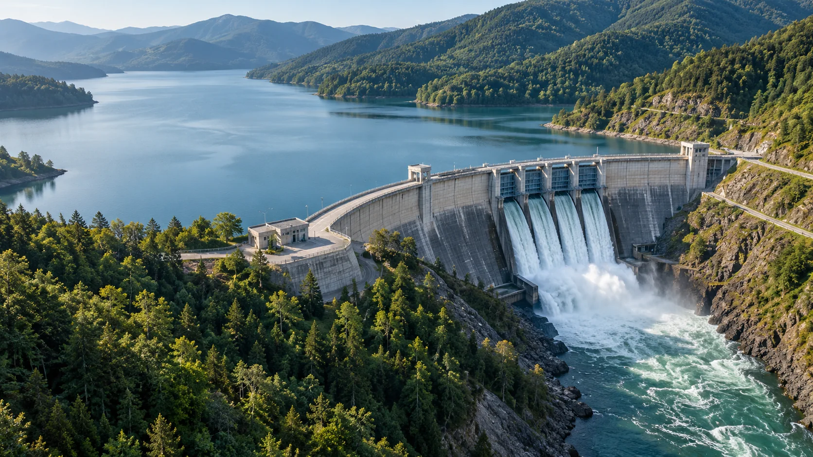
Water Infrastructure
Monitor dams and levees and assess urban flood risks using remote sensing and ground observations.
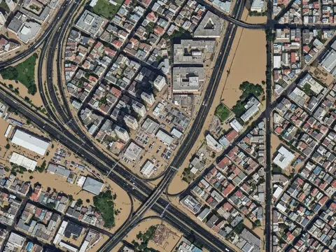
Insurance
Risk assessment, loss verification and underwriting support.
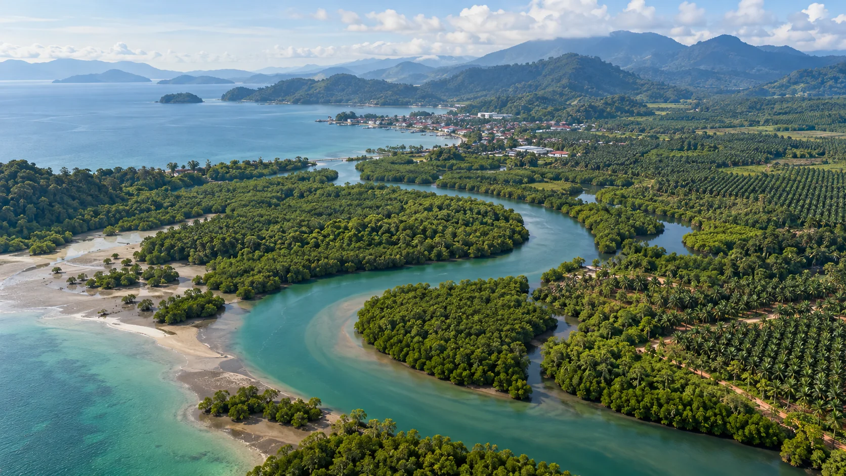
Southeast Asia
Regional monitoring for tropical forests, plantations, severe weather and coastal change.
Satellite Imagery
Explore our high-resolution satellite imagery library covering key target areas worldwide, supporting multiple formats and analysis tools.
Explore Data Catalog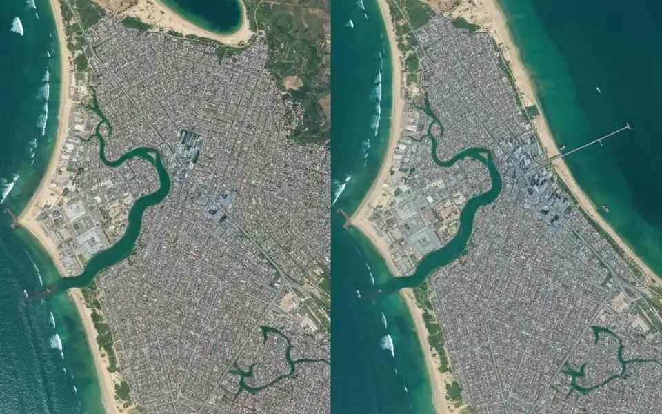
0.3m
Max Resolution
100+
Satellites
24h
Revisit Cycle
Find the Right Satellite Solution for Your Business
Explore imagery, monitoring and custom satellite options with guidance from our team.