


Agriculture
Satellite remote sensing powers precision agriculture—boosting yields, optimizing resources, and safeguarding food security
Satellite Technology Reshaping Modern Agriculture
Global agriculture faces multiple challenges including climate change, water scarcity, and land degradation. Satellite remote sensing provides farmers with unprecedented insights: from large-scale crop health monitoring and precision irrigation decisions to early pest and disease warnings and yield forecasting. Through the fusion of multispectral, thermal infrared, and radar data, farmers and agribusinesses can take the right actions at the right time and place—increasing productivity, conserving water and fertilizer, and laying the data foundation for sustainable agriculture.
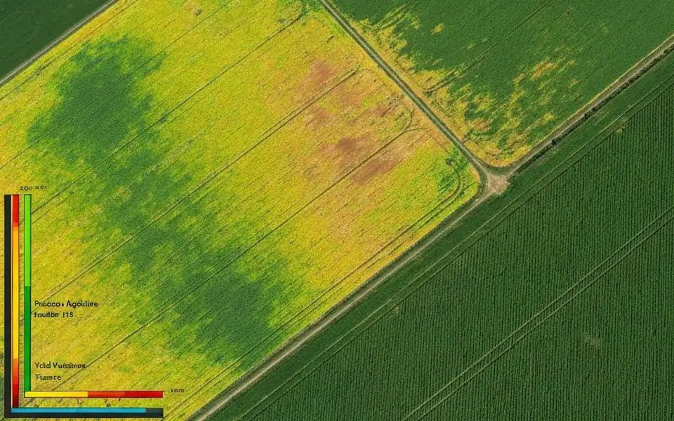
Precision Agriculture Applications
Crop Health Monitoring
Continuously track crop growth status using vegetation indices like NDVI, identify anomalous areas, and guide field management.
Precision Irrigation Management
Combine soil moisture, evapotranspiration, and crop water demand models to optimize irrigation timing and volume, saving 20-30% water.
Early Pest & Disease Warning
Detect crop stress signals through spectral changes before large-scale outbreaks, enabling timely intervention.
Yield Forecasting & Harvest Planning
Integrate historical data with current imagery to build yield prediction models and optimize harvest scheduling and logistics.
Soil & Environmental Analysis
Assess soil quality, organic matter content, and plot suitability using thermal infrared and multispectral data.
Farm Machinery Path Optimization
High-precision terrain and field boundary data support autonomous driving and variable-rate application.
Key Technical Advantages
Wide Coverage
Single image covers tens of thousands of hectares, ideal for large farms and regional monitoring
Multi-source Fusion
Optical, radar, and thermal infrared data synergy for comprehensive field sensing
High Revisit Frequency
New imagery every 3-5 days to track crop growth changes in time
Data-Driven
Historical archives combined with real-time data for trend analysis and decision optimization
Fully Managed Service
STARPATH GLOBAL operates a fully managed satellite data pipeline designed to remove operational complexity from geospatial data acquisition and delivery.
End-to-End Lifecycle Management
We coordinate the full lifecycle of satellite intelligence—from mission tasking and data sourcing to processing, quality control, and final delivery—through a controlled, end-to-end workflow managed by our specialists.
Zero Technical Overhead for Clients
Clients define objectives and review outputs. No technical expertise is required to operate the system. We handle all operational execution, including satellite tasking, sensor selection, data acquisition, and downstream processing within a structured production pipeline.
Faster Decisions, Lower Operational Cost
This model transforms satellite data access into a managed intelligence service, enabling faster decisions, reduced operational overhead, and consistent data reliability at scale.