

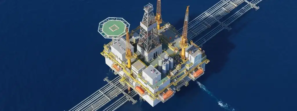
Oil & Gas
Master global energy resources from exploration to production
End-to-End Support for Oil & Gas Exploration, Development & Monitoring
STARPATH GLOBAL provides comprehensive satellite data and analytics services for global oil & gas enterprises across the full lifecycle—from exploration assessment to production operations. Leveraging ultra-high-resolution optical satellites and all-weather SAR satellites, we support geological structure assessment, field monitoring, pipeline inspection, offshore platform surveillance, and emergency response. Gain competitive advantage, reduce operational risk, and optimize costs in the complex global energy marketplace.
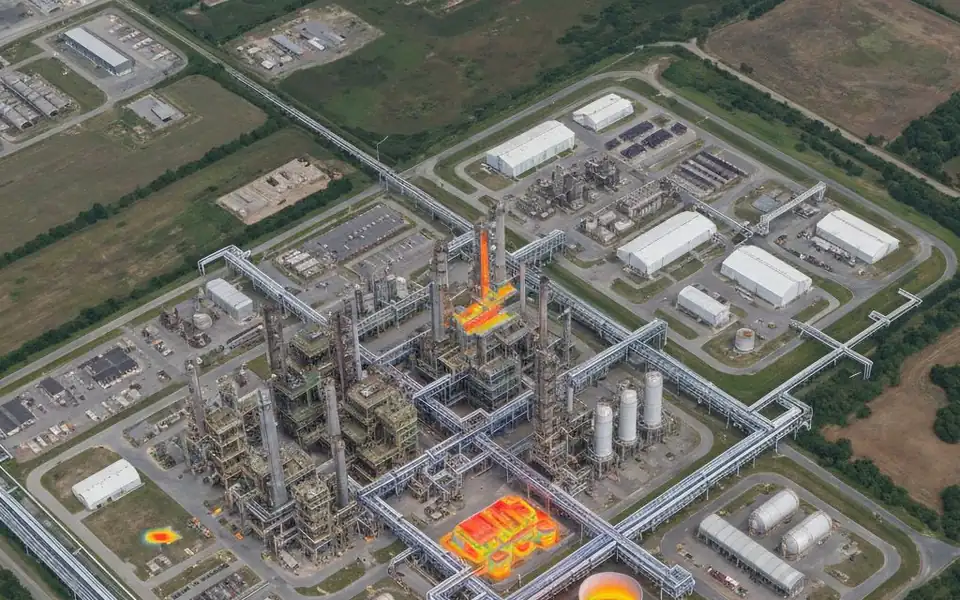
Key Application Scenarios
Geological & Exploration Assessment
Topographic analysis and structural interpretation to support pre-exploration risk assessment and target selection.
Oil & Gas Field Development Monitoring
Real-time monitoring of subsidence, injection/production surface signals to optimize production strategies.
Pipeline Infrastructure Inspection
Regular high-resolution imagery of pipeline corridors to detect leakage risks and boundary disputes early.
Offshore Platform Surveillance
All-weather SAR and optical fusion for comprehensive platform monitoring, shipping activity and environmental compliance.
Oil & Gas Spill Emergency Response
High-resolution emergency imagery within 24 hours of incident to support response and environmental assessment.
Geopolitical & Operational Risk Alerts
Monitor facility surroundings for political developments, unauthorized access, and anomalous activities.
Why Choose Us
Global Coverage & Real-Time Monitoring
Coverage of major global oil & gas regions with regular revisits and rapid emergency response capabilities.
Multi-Source Data Fusion
Optical, SAR, and video data fusion for comprehensive, multi-dimensional decision support.
Cost Reduction & Regulatory Compliance
Reduce field inspection costs, improve response efficiency, and support environmental and ESG compliance.
Fully Managed Service
STARPATH GLOBAL operates a fully managed satellite data pipeline designed to remove operational complexity from geospatial data acquisition and delivery.
End-to-End Lifecycle Management
We coordinate the full lifecycle of satellite intelligence—from mission tasking and data sourcing to processing, quality control, and final delivery—through a controlled, end-to-end workflow managed by our specialists.
Zero Technical Overhead for Clients
Clients define objectives and review outputs. No technical expertise is required to operate the system. We handle all operational execution, including satellite tasking, sensor selection, data acquisition, and downstream processing within a structured production pipeline.
Faster Decisions, Lower Operational Cost
This model transforms satellite data access into a managed intelligence service, enabling faster decisions, reduced operational overhead, and consistent data reliability at scale.