

Mining
Satellite-based intelligence for safer, smarter, and more efficient mining operations
Satellite Remote Sensing Across the Mining Lifecycle
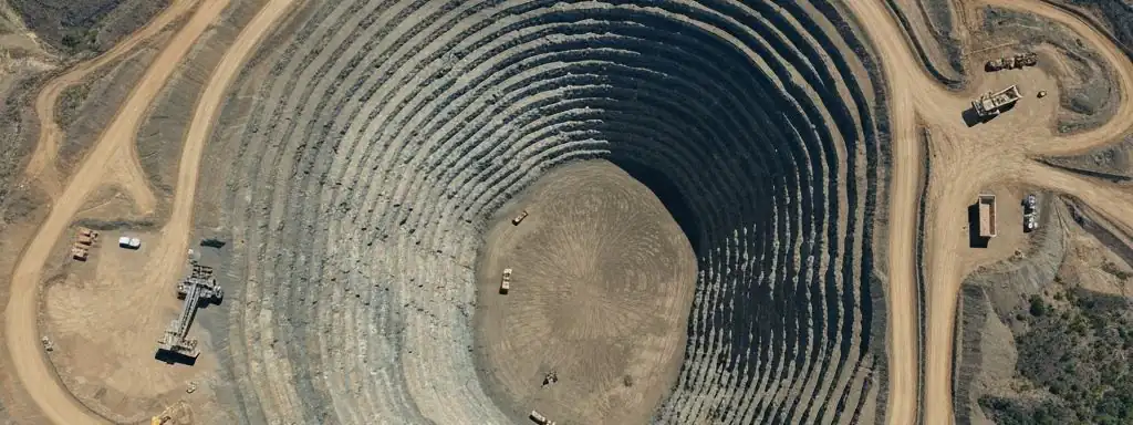
Satellite remote sensing has become integral to every stage of the mining industry: from early mineral exploration and target selection to operational monitoring and post-closure environmental rehabilitation. In remote, topographically complex mining regions where traditional field surveys are costly and dangerous, satellite data delivers all-weather, high-accuracy surface intelligence without boots on the ground—helping mining companies dramatically reduce costs, ensure personnel safety, and meet increasingly stringent environmental regulations.
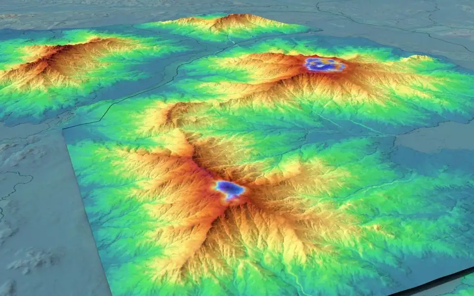
Mining Lifecycle Solutions
Exploration & Mineral Mapping
Use SWIR and multispectral data to identify surface mineral composition, narrow physical sampling areas, and accelerate target selection.
Stockpile & Volume Monitoring
Remotely calculate ore stockpile volumes via high-accuracy DSM with centimeter-level precision to optimize inventory management.
Tailings Dam & Environmental Safety
Monitor subtle deformation and subsidence of tailings dams using InSAR for early warning, preventing catastrophic failures.
Infrastructure Planning
Provide high-resolution topographic maps and land cover classification for mine roads, camps, and power line construction.
Change Detection
Periodically compare imagery to track excavation progress, vegetation change, and illegal mining activities.
Closure & Rehabilitation
Long-term monitoring of revegetated areas provides objective compliance data to satisfy environmental regulators.
Key Technical Advantages
High Precision
Up to 30cm resolution for engineering-grade measurement requirements
All-Weather SAR
Radar satellites penetrate cloud cover for 24/7 continuous monitoring
Historical Data
Access decades of archived data for baseline comparison analysis
AI-Powered Insights
Machine learning automatically identifies vehicles, structures and land changes
Fully Managed Service
STARPATH GLOBAL operates a fully managed satellite data pipeline designed to remove operational complexity from geospatial data acquisition and delivery.
End-to-End Lifecycle Management
We coordinate the full lifecycle of satellite intelligence—from mission tasking and data sourcing to processing, quality control, and final delivery—through a controlled, end-to-end workflow managed by our specialists.
Zero Technical Overhead for Clients
Clients define objectives and review outputs. No technical expertise is required to operate the system. We handle all operational execution, including satellite tasking, sensor selection, data acquisition, and downstream processing within a structured production pipeline.
Faster Decisions, Lower Operational Cost
This model transforms satellite data access into a managed intelligence service, enabling faster decisions, reduced operational overhead, and consistent data reliability at scale.