Blog
-
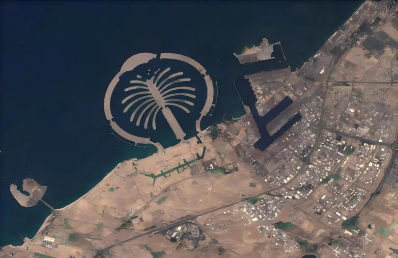
When the Desert Flooded: Satellite Imagery and the Future of Agricultural Flood Insurance
Read more →: When the Desert Flooded: Satellite Imagery and the Future of Agricultural Flood InsuranceThe April 2024 UAE floods stress-tested every traditional risk assessment model. STARPATH GLOBAL satellite imagery shows how Earth…
-
Mineral Exploration Reimagined: How Satellite Remote Sensing and AI Are Transforming Global Resource Discovery
Read more →: Mineral Exploration Reimagined: How Satellite Remote Sensing and AI Are Transforming Global Resource DiscoveryIn Canada and Australia, government-backed incentives have long been used to stimulate mineral exploration investment. Canada’s Mineral Exploration…
-
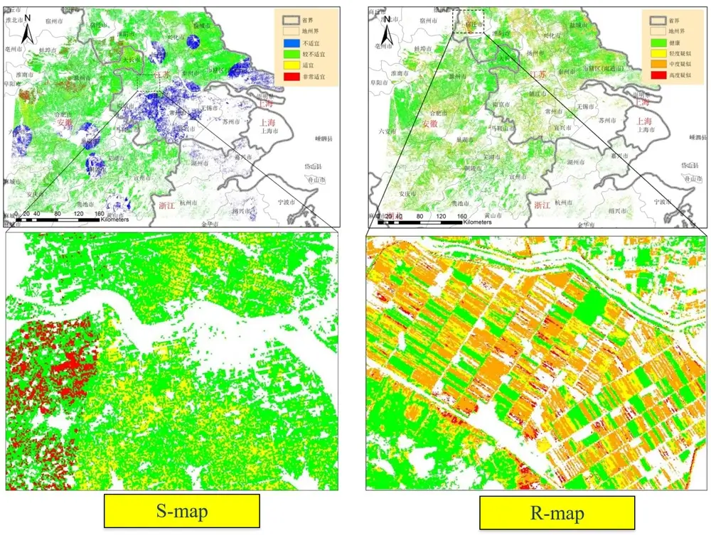
How to Monitor Crop Health Using Satellites: Transforming Modern Agriculture with Remote Sensing and AI
Read more →: How to Monitor Crop Health Using Satellites: Transforming Modern Agriculture with Remote Sensing and AISeveral years ago, wheat farmers in Gansu Province, China, faced a familiar challenge. By the time they noticed…
-
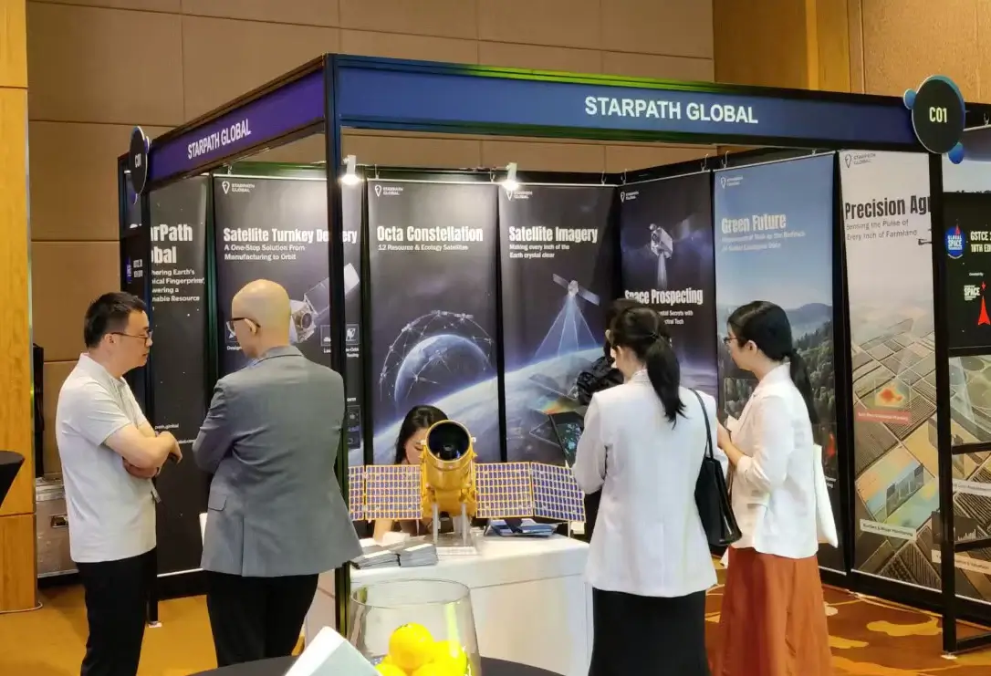
GSTCE 2026: StarPath Global Showcases Decade-Strong Commercial Space Capabilities to Global Partners
Read more →: GSTCE 2026: StarPath Global Showcases Decade-Strong Commercial Space Capabilities to Global PartnersSingapore, May 2026 — StarPath Global participated in the Global Space Technology Convention & Exhibition (GSTCE) 2026 in Singapore,…
-
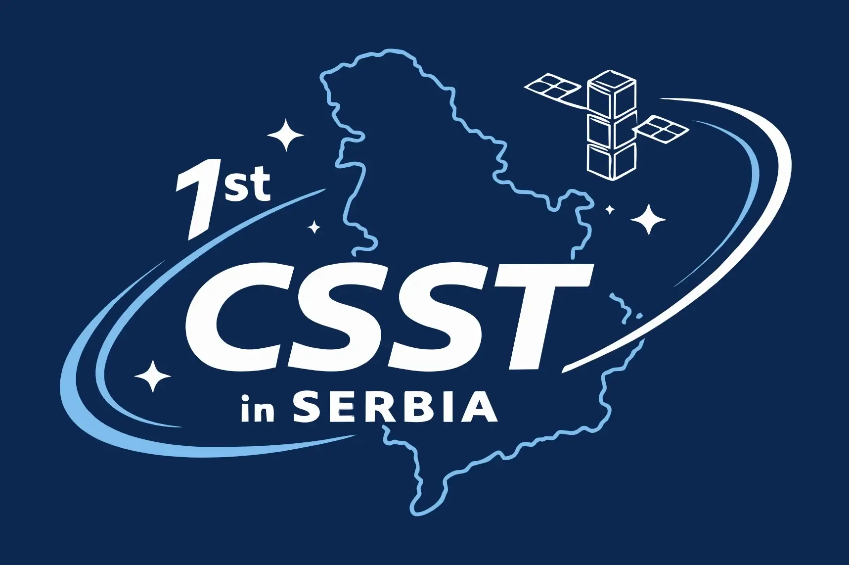
StarPath Global Closes Serbia Space Expo with China’s Leading Space Firms, Targets Energy & Agriculture Cooperation
Read more →: StarPath Global Closes Serbia Space Expo with China’s Leading Space Firms, Targets Energy & Agriculture CooperationChairman Jing Lv Delivers Address on Satellite Intelligence for Europe; Serbian Energy and Agriculture Ministries Signal Cooperation Intent…
-

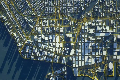
From Orbit to Operational Intelligence One Partner, Complete Chain
Read more →: From Orbit to Operational Intelligence One Partner, Complete ChainMost Earth observation companies sell you data. We deliver outcomes — because we control every link in the…
-
The Data Gap That Is Costing Your Country Billions
Read more →: The Data Gap That Is Costing Your Country BillionsEvery forest fire that spreads beyond control, every pipeline that fails before inspection, every harvest lost to disease…
-
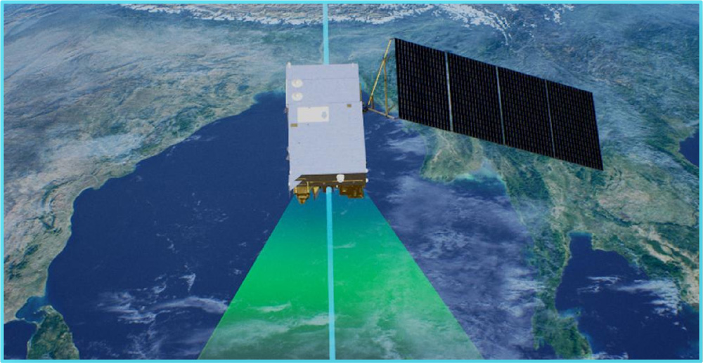
What are Space based Radars?
Read more →: What are Space based Radars?Space-Based Radars (SBRs) are radar systems that are deployed on satellites or spacecraft to observe Earth atmosphere, oceans,…
-
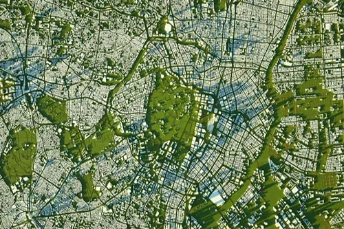
A Beginner’s Guide to Using Earth Observation Data
Read more →: A Beginner’s Guide to Using Earth Observation DataLook up at the sky. What do you see? Clouds, maybe a bird or a plane. Now imagine…
-
Evaluating Satellite Imagery Providers: What Enterprise Leaders Need to Know
Read more →: Evaluating Satellite Imagery Providers: What Enterprise Leaders Need to KnowSatellite imagery has moved far beyond the realm of government agencies and specialized scientific groups. Today, it’s a…
-
Common Mistakes Business Users Make with Earth Observation Data (and How to Avoid Them)
Read more →: Common Mistakes Business Users Make with Earth Observation Data (and How to Avoid Them)The view from above is changing how we do business. Satellite imagery and remote sensing, collectively known as…
-
How Satellite Imagery Helps Enterprises Stay Ahead of Regulatory Compliance
Read more →: How Satellite Imagery Helps Enterprises Stay Ahead of Regulatory ComplianceRegulatory compliance is rarely the most glamorous part of business operations, but for industries like mining, energy, and…