
Blog
-
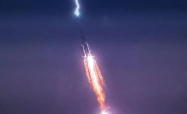
Why Was the Rocket Unscathed After Being Struck by Lightning?
Read more →: Why Was the Rocket Unscathed After Being Struck by Lightning?On July 24, China successfully launched the Tianlian II-06 satellite aboard a Long March-3B carrier rocket from the…
-
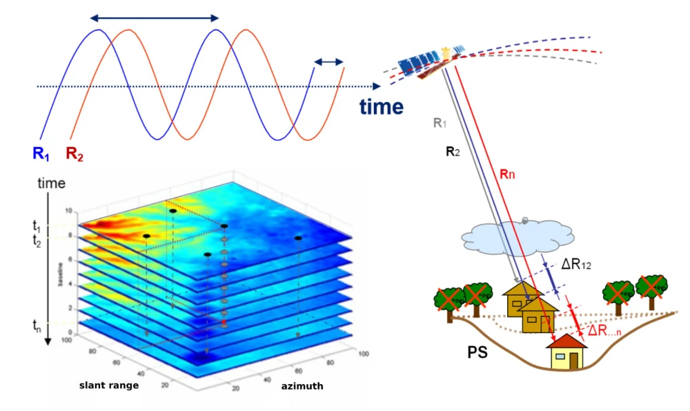
InSAR Monitoring for Infrastructure: Ground Subsidence and Geohazard Assessment
Read more →: InSAR Monitoring for Infrastructure: Ground Subsidence and Geohazard AssessmentAs the old saying goes, it’s better to catch a problem while it’s still small. For infrastructure such…
-
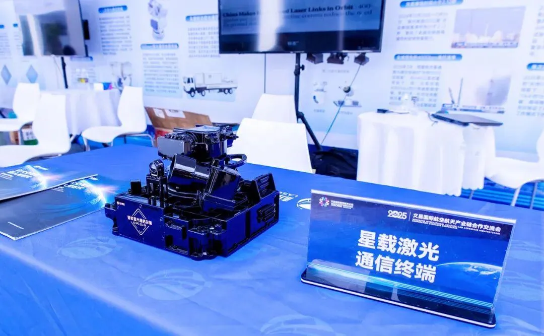
Seven Chinese Private Companies Building the Optical Backbone for Satellite Networks
Read more →: Seven Chinese Private Companies Building the Optical Backbone for Satellite NetworksChina’s commercial space sector is moving satellite laser communications from isolated technology demonstrations toward multi-satellite networking and batch…
-

Behind a Funding Round of More Than RMB 500 Million: How Far Has China’s Space Laser Communications Industry Come?
Read more →: Behind a Funding Round of More Than RMB 500 Million: How Far Has China’s Space Laser Communications Industry Come?HiStarlink recently announced the completion of a Series A2 funding round worth more than RMB 500 million, bringing…
-

What Imaging Capabilities Does Commercial Earth Observation Need in the AI Era?
Read more →: What Imaging Capabilities Does Commercial Earth Observation Need in the AI Era?In the era of AI in space, customers are not simply purchasing an image. What they truly need…
-
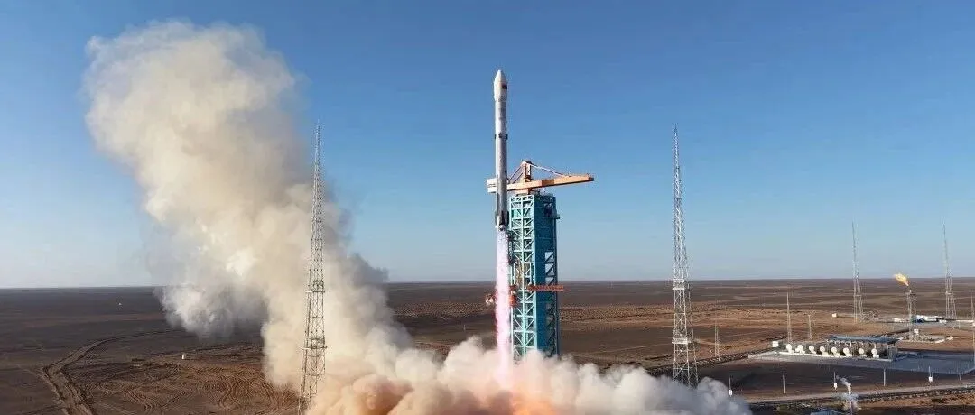
China’s Private Rockets Accelerate Toward Orbit: Who Has Made It—and Who Is Next in Line
Read more →: China’s Private Rockets Accelerate Toward Orbit: Who Has Made It—and Who Is Next in LineOn September 1, PALLAS-1 Y1 lifted off from Jiuquan. Galactic Energy is no longer a company with only…
-
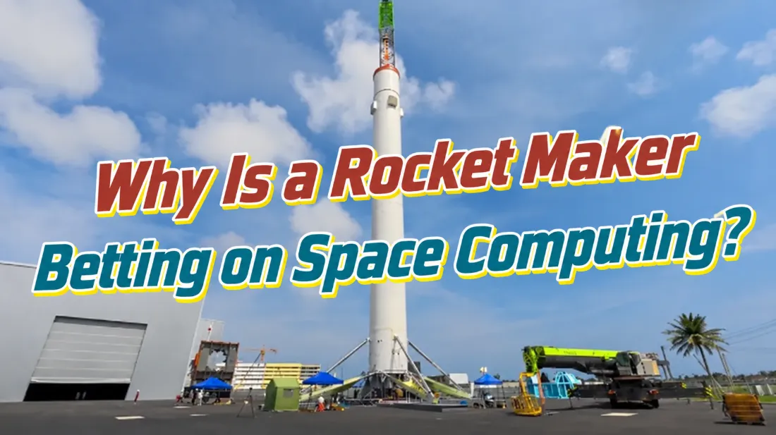
i-Space’s Xie Hongjun: Why Is a Rocket Company Moving Into Space Computing?
Read more →: i-Space’s Xie Hongjun: Why Is a Rocket Company Moving Into Space Computing?In 2026, space computing emerged as an important new frontier in commercial space. What problems is it intended…
-
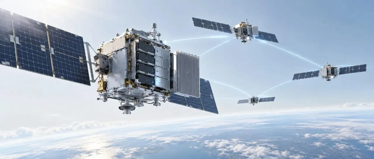
In the Age of Space Computing, Why Is Energy Both the First Opportunity and the First Barrier?
Read more →: In the Age of Space Computing, Why Is Energy Both the First Opportunity and the First Barrier?On the ground, when computing capacity falls short, more servers can be added, the grid can supply more…
-
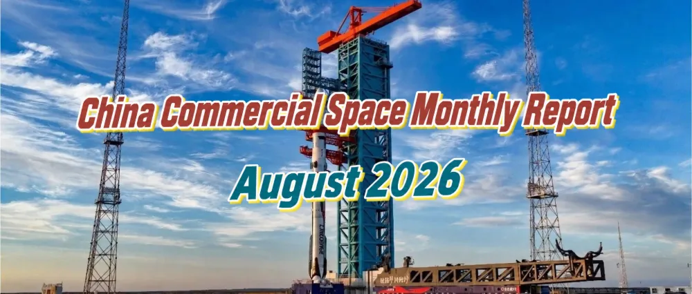
China Commercial Space Industry Monthly Report — August 2026
Read more →: China Commercial Space Industry Monthly Report — August 2026In August 2026, China and the United States continued to dominate the global launch market. The United States…
-

‘Xuelong’ Receives and Processes HY-1E Data in Arctic, Expanding Real-Time Satellite Support for Polar Navigation
Read more →: ‘Xuelong’ Receives and Processes HY-1E Data in Arctic, Expanding Real-Time Satellite Support for Polar NavigationChina’s icebreaker Xuelong successfully received and processed data from the HY-1E ocean-color satellite while sailing at high speed…
-

China Uses Fengyun Satellites and MAZU to Support Cross-Border Disaster Monitoring in Nepal
Read more →: China Uses Fengyun Satellites and MAZU to Support Cross-Border Disaster Monitoring in NepalOn Aug. 26, a high-altitude ice-and-rock avalanche occurred on the Nepalese side of the border, triggering a chain…
-

From “Southern Rockets, Northern Satellites” to Four-District Coordination: Why Has Beijing Become a Hub for Commercial Space?
Read more →: From “Southern Rockets, Northern Satellites” to Four-District Coordination: Why Has Beijing Become a Hub for Commercial Space?On September 3, the Beijing Municipal Bureau of Commerce released the Work Plan for the Development of China…