

Maritime & Shipping
Satellite intelligence enables global maritime operations with all-weather vessel tracking and smart port management
Satellite Remote Sensing Transforms Maritime Operations
Satellite remote sensing has become critical for modern maritime management, supporting fleet monitoring, port operations, environmental compliance, search and rescue, and anti-smuggling operations. Unlike AIS systems limited by signal coverage and voluntary reporting, satellite data provides objective, truly global maritime visibility—helping shipping companies and regulators monitor vessel movements in real-time, optimize routing, mitigate risks, ensure regulatory compliance, and rapidly respond to maritime emergencies.
End-to-End Maritime Solutions
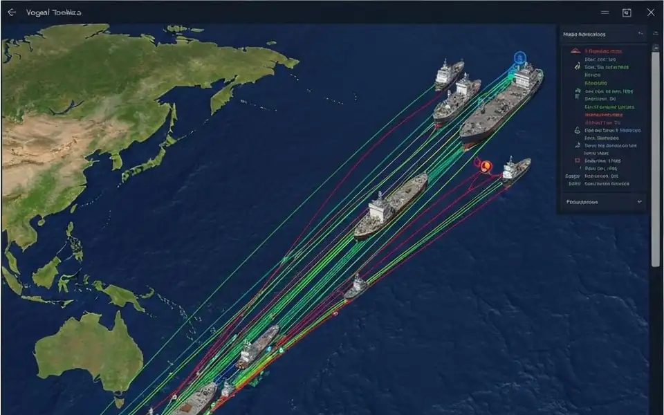
Real-Time Fleet Monitoring
Fuse AIS with SAR satellite data for global vessel tracking, detecting dark ships that have disabled their transponders.
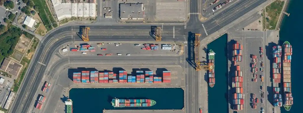
Port Operations Optimization
Monitor berth utilization, cargo handling, and traffic patterns for improved scheduling and resource allocation.
Search & Rescue Response
Rapidly locate vessels and persons in distress, providing precise coordinates to support emergency response decisions.
Anti-Smuggling & Illegal Fishing
Identify suspicious vessel behavior, lights-out ships, and illegal fishing activities to support law enforcement operations.
Route & Fuel Optimization
Recommend optimal routes based on real-time weather, currents, and port congestion data to reduce fuel costs and emissions.
Marine Environmental Compliance
Monitor oil spills, illegal dumping, and coastal erosion to ensure maritime operations meet international environmental standards.
Key Technical Advantages
Zero Blind Spots
Continuous 24/7 coverage from deep ocean to coastal waters worldwide
All-Weather SAR
Radar satellites penetrate cloud cover, available day and night
Multi-Source Fusion
Integrate AIS, marine weather, port data and other information streams
AI-Powered Analytics
Anomaly detection, predictive insights and decision support tools
Fully Managed Service
STARPATH GLOBAL operates a fully managed satellite data pipeline designed to remove operational complexity from geospatial data acquisition and delivery.
End-to-End Lifecycle Management
We coordinate the full lifecycle of satellite intelligence—from mission tasking and data sourcing to processing, quality control, and final delivery—through a controlled, end-to-end workflow managed by our specialists.
Zero Technical Overhead for Clients
Clients define objectives and review outputs. No technical expertise is required to operate the system. We handle all operational execution, including satellite tasking, sensor selection, data acquisition, and downstream processing within a structured production pipeline.
Faster Decisions, Lower Operational Cost
This model transforms satellite data access into a managed intelligence service, enabling faster decisions, reduced operational overhead, and consistent data reliability at scale.