


Insurance
Satellite imagery empowers the insurance industry with precise risk assessment and efficient claims verification
Satellite Data Reshaping Insurance Risk Management
In the insurance industry, accurately assessing risk and quickly verifying claims are core challenges. Satellite remote sensing provides insurers with unprecedented capabilities: from pre-underwriting property valuation and risk rating, to post-disaster loss assessment and claims verification, to long-term portfolio monitoring. High-resolution satellite imagery can cover remote areas, provide objective third-party evidence, and enable rapid screening of large-scale assets—helping insurers reduce fraud risk, accelerate claims processing, and optimize pricing strategies.
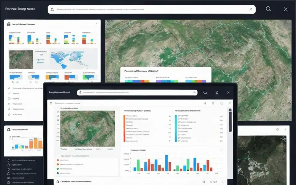
Core Insurance Applications
Underwriting Risk Assessment
Before policy issuance, use satellite imagery to assess property conditions and surrounding environmental risks (floods, landslides, etc.) for accurate pricing.
Claims Verification
Objectively verify loss extent and severity through pre/post-disaster imagery comparison, reducing fraudulent claims and accelerating legitimate processing.
Catastrophe Loss Assessment
After natural disasters, rapidly acquire affected area imagery for large-scale preliminary loss assessment and priority handling of severe damage claims.
Property Monitoring
Regularly monitor changes to insured properties (construction, demolition, renovation) to ensure policy information matches actual asset status.
Portfolio Risk Analysis
Conduct geospatial risk analysis on large-scale insured assets to identify high-risk concentration areas and optimize reinsurance strategies.
Compliance & Audit Support
Provide timestamped satellite imagery as objective evidence to support regulatory compliance and internal audit requirements.
Key Technical Advantages
Objective Evidence
Timestamped third-party imagery with tamper-proof loss records
Global Coverage
Cover remote areas without on-site inspection
Rapid Response
Obtain latest imagery within 24-48 hours post-disaster
Scalable Processing
AI-driven batch analysis processing thousands of claims simultaneously
Fully Managed Service
STARPATH GLOBAL operates a fully managed satellite data pipeline designed to remove operational complexity from geospatial data acquisition and delivery.
End-to-End Lifecycle Management
We coordinate the full lifecycle of satellite intelligence—from mission tasking and data sourcing to processing, quality control, and final delivery—through a controlled, end-to-end workflow managed by our specialists.
Zero Technical Overhead for Clients
Clients define objectives and review outputs. No technical expertise is required to operate the system. We handle all operational execution, including satellite tasking, sensor selection, data acquisition, and downstream processing within a structured production pipeline.
Faster Decisions, Lower Operational Cost
This model transforms satellite data access into a managed intelligence service, enabling faster decisions, reduced operational overhead, and consistent data reliability at scale.