

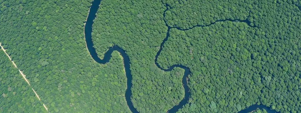
Environment & Natural Resources
High-resolution multispectral satellite imagery for natural resource management and environmental protection
Satellite Remote Sensing for Environmental Monitoring
Our imagery is ideally suited to support efforts to manage our natural resources: from monitoring agricultural crops, to managing the risk of wildfires, mapping remote watersheds, or evaluating the impacts of human settlements on the environment. We provide governments, commercial organizations and conservation groups with the big picture, and our high-resolution multispectral capabilities enable sophisticated remote sensing of the natural world.
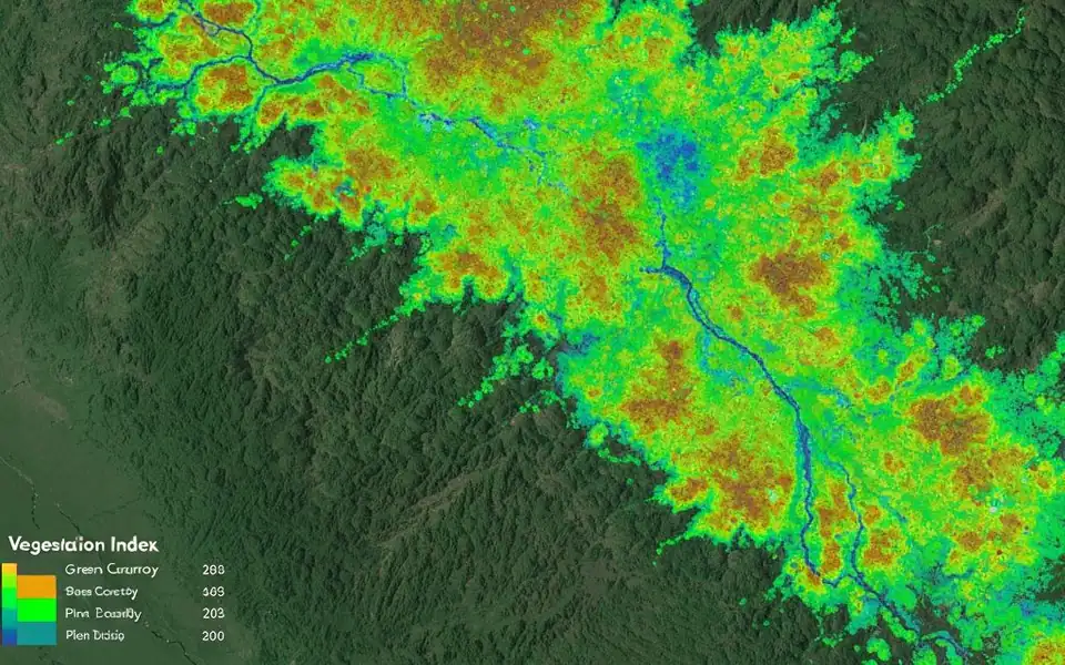
Environmental Monitoring Solutions
Remote Sensing for Plant Health
Farmers, forestry organizations and environmental regulators use satellite imagery to analyze, assess, and manage the health and growth states of plant materials.
Forest Fire Risk Management
With high-resolution color and near infrared multispectral imagery, agencies can evaluate forest health and accurately map buildings, roads, and structures to create risk profiles.
Water Resource Management
River basins, aquifers and other water sources are often shared resources. Our global imagery plays a key role in collaborative planning and governance of water resources.
Coastline Mapping
Support flood plain mapping, biodiversity studies, coastal zone assessments—monitoring wetlands, beaches, submerged vegetation, urbanization and storm damage.
Supporting Conservation Efforts
Conservation groups can make effective decisions based on a better understanding of ecosystems, monitoring human encroachment and wildlife population changes.
Environmental Compliance
Provide objective environmental change data to help enterprises and governments meet increasingly stringent environmental regulations.
Key Technical Advantages
Global Coverage
Rapid image acquisition of any area on Earth without field visits
Multispectral Analysis
Visible, NIR, SWIR bands support in-depth environmental analysis
Temporal Monitoring
Access decades of archives to track long-term environmental trends
Quantitative Assessment
NDVI, water indices and other metrics provide objective measurements
Fully Managed Service
STARPATH GLOBAL operates a fully managed satellite data pipeline designed to remove operational complexity from geospatial data acquisition and delivery.
End-to-End Lifecycle Management
We coordinate the full lifecycle of satellite intelligence—from mission tasking and data sourcing to processing, quality control, and final delivery—through a controlled, end-to-end workflow managed by our specialists.
Zero Technical Overhead for Clients
Clients define objectives and review outputs. No technical expertise is required to operate the system. We handle all operational execution, including satellite tasking, sensor selection, data acquisition, and downstream processing within a structured production pipeline.
Faster Decisions, Lower Operational Cost
This model transforms satellite data access into a managed intelligence service, enabling faster decisions, reduced operational overhead, and consistent data reliability at scale.