


Urban Planning
High-resolution satellite imagery and geospatial intelligence empowering smart city development and sustainable growth
A New Paradigm for Urban Planning Driven by Satellite Data
Satellite remote sensing provides urban planners and government agencies with unprecedented perspectives and data support. From land use classification, population density analysis, and transportation network planning to green space monitoring and illegal construction identification, high-resolution satellite imagery can cover vast areas with rapid updates, providing precise decision-making support for urban development strategies, infrastructure construction, and environmental protection—all without deploying on-site survey teams.
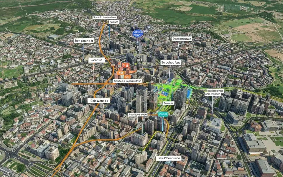
Core Urban Planning Applications
Land Use Classification
Automatically classify agricultural, commercial, industrial, residential, and green areas through multispectral imagery analysis to support master planning.
Building Extraction & Monitoring
Extract building footprints from high-resolution imagery, identify unauthorized construction, and track urban expansion boundaries for city management.
Transportation & Infrastructure Planning
Provide accurate terrain base maps and current condition surveys for road networks, public transit, and utility corridor planning.
Green Space & Environmental Monitoring
Monitor urban green coverage, park distribution, and changes to support ecological city construction and carbon neutrality assessments.
Population & Community Analysis
Combine building density, nighttime lights, and traffic flow data to assist population distribution estimation and public facility optimization.
GIS Data Integration
Satellite imagery integrates seamlessly into GIS systems as base layers for vector maps and ground truth references.
Why Choose Satellite Data
Wide Coverage
Single scene covers hundreds of square kilometers
HD Details
30cm resolution identifies vehicles, pedestrians, and road markings
Rapid Updates
High revisit frequency supports real-time urban change monitoring
Objective Records
Imagery archived as legally valid objective evidence
Fully Managed Service
STARPATH GLOBAL operates a fully managed satellite data pipeline designed to remove operational complexity from geospatial data acquisition and delivery.
End-to-End Lifecycle Management
We coordinate the full lifecycle of satellite intelligence—from mission tasking and data sourcing to processing, quality control, and final delivery—through a controlled, end-to-end workflow managed by our specialists.
Zero Technical Overhead for Clients
Clients define objectives and review outputs. No technical expertise is required to operate the system. We handle all operational execution, including satellite tasking, sensor selection, data acquisition, and downstream processing within a structured production pipeline.
Faster Decisions, Lower Operational Cost
This model transforms satellite data access into a managed intelligence service, enabling faster decisions, reduced operational overhead, and consistent data reliability at scale.