


Satellite Imagery
Products derived from highest commercially available imagery
World-Leading Commercial Satellite Imagery Access
STARPATH GLOBAL provides access to the highest commercially available satellite data, covering optical, multispectral, and radar (SAR) sensor types. Whether you need sub-meter optical imagery, all-weather SAR data, or multi-temporal change detection products, we have you covered. Through deep partnerships with the world's leading satellite operators and a vast historical archive, we deliver precise and reliable geospatial data for oil exploration, urban planning, agricultural monitoring, defense, and disaster assessment.
Contact us to learn more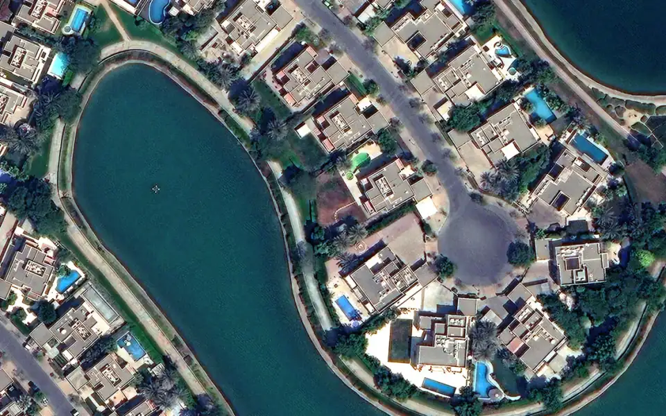
Optical Imagery
Up to 30cm ultra-high-resolution panchromatic and multispectral imagery for precise target identification and feature extraction anywhere on Earth.
Synthetic Aperture Radar (SAR)
All-weather, day-night, cloud-penetrating active radar imaging for maritime monitoring, surface deformation analysis, and target detection.
Stereo & Tri-stereo Imagery
Tri-stereo geometry generates high-accuracy Digital Elevation Models (DEMs) and 3D city models with vertical accuracy better than 1 meter.
Video from Space
Up to 90-second HD video from orbit, capturing port operations, traffic flow, natural disaster evolution and other high-value dynamic targets.
Nighttime Imagery
Specialized nighttime imaging for monitoring light-based economic activity, energy distribution, illegal fishing, and humanitarian events.
Fully Managed Service
STARPATH GLOBAL operates a fully managed satellite data pipeline designed to remove operational complexity from geospatial data acquisition and delivery.
End-to-End Lifecycle Management
We coordinate the full lifecycle of satellite intelligence—from mission tasking and data sourcing to processing, quality control, and final delivery—through a controlled, end-to-end workflow managed by our specialists.
Zero Technical Overhead for Clients
Clients define objectives and review outputs. No technical expertise is required to operate the system. We handle all operational execution, including satellite tasking, sensor selection, data acquisition, and downstream processing within a structured production pipeline.
Faster Decisions, Lower Operational Cost
This model transforms satellite data access into a managed intelligence service, enabling faster decisions, reduced operational overhead, and consistent data reliability at scale.
Why Choose Us
Daily Revisit
Leveraging a large satellite constellation, most target areas can be revisited daily or multiple times per day for timely intelligence.
Vast Archive
Over 20 years of global historical imagery, enabling rapid retrieval of change-detection data for any location at any time.
Rapid Tasking
Emergency tasking response within 24 hours, meeting high-urgency requirements for disaster response and time-critical intelligence.
Fully Managed Access
End-to-end tasking, acquisition, and delivery handled by expert teams—no technical expertise or operational management required.