
Blog
-
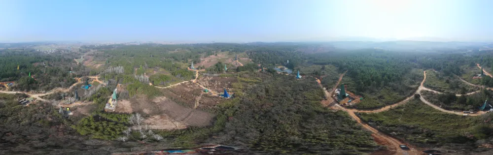
China Reports Largest Porphyry Copper-Gold Find in Middle-Lower Yangtze, Opening New Exploration Frontier
Read more →: China Reports Largest Porphyry Copper-Gold Find in Middle-Lower Yangtze, Opening New Exploration FrontierChina has reported a major copper-gold exploration breakthrough in Anhui province, identifying what researchers describe as the largest…
-
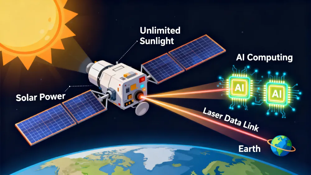
Commercial Space: China’s Domestic Chips Are Winning This Space Race
Read more →: Commercial Space: China’s Domestic Chips Are Winning This Space RaceGround-based AI chips are a game built around Nvidia’s CUDA ecosystem, and any challenger must contend with developer…
-

Commercial Space: Where the Hidden Champions Are
Read more →: Commercial Space: Where the Hidden Champions AreWhat truly determines whether the commercial space industry can operate at scale is often found in the parts…
-

How Low Can Satellites Fly? New Opportunities in VLEO and the Companies Already Moving In
Read more →: How Low Can Satellites Fly? New Opportunities in VLEO and the Companies Already Moving InVery low Earth orbit, or VLEO, is not a new type of orbital geometry. It is simply the…
-
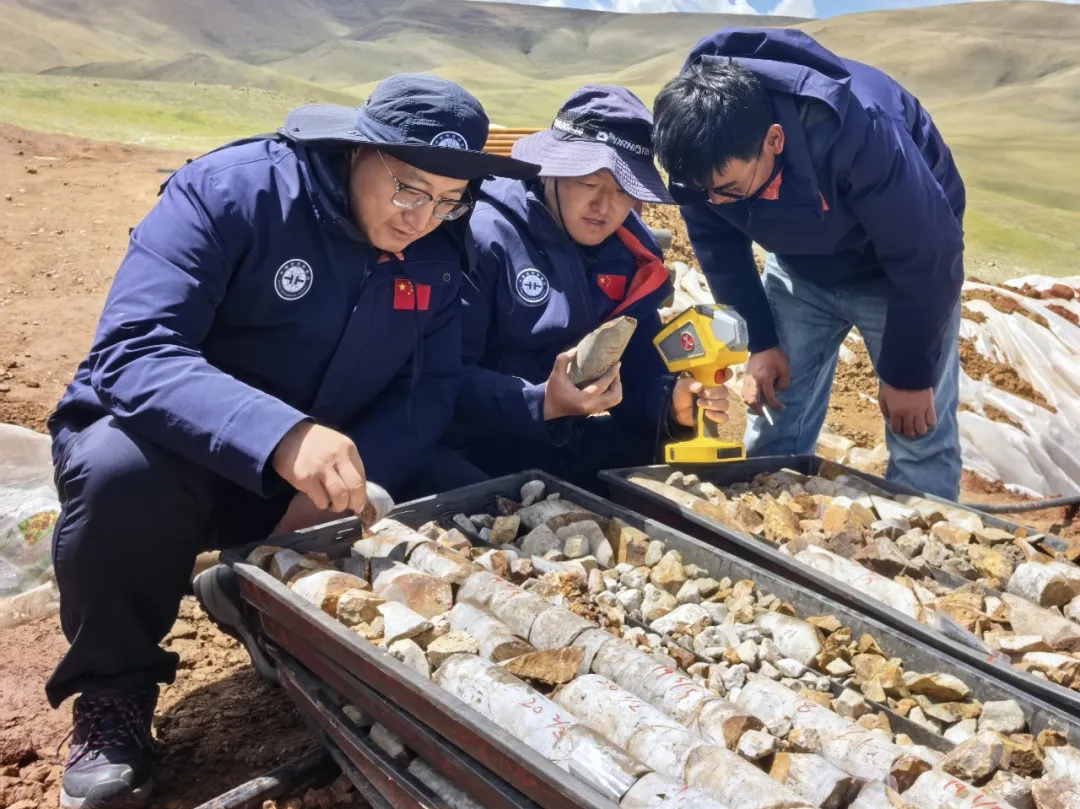
Star–Air–Ground–Borehole Exploration Technology Leads to New Breakthrough in Gangdese Mineral Prospecting
Read more →: Star–Air–Ground–Borehole Exploration Technology Leads to New Breakthrough in Gangdese Mineral ProspectingRecently, the China Aero Geophysical and Remote Sensing Center for Natural Resources’ Qinghai–Tibet Plateau airborne geophysical exploration team…
-

Top ten frontier scientific issues in the field of remote sensing science and technology
Read more →: Top ten frontier scientific issues in the field of remote sensing science and technologyIn early July, Academician Zhang Bing and his co-authors published an article in the Journal of Remote Sensing,…
-

How High and How Inclined Should a Satellite Fly? How Orbital Altitude and Inclination Are Determined
Read more →: How High and How Inclined Should a Satellite Fly? How Orbital Altitude and Inclination Are DeterminedWhy do some satellites skim relatively close to Earth and complete an orbit in just over 90 minutes,…
-
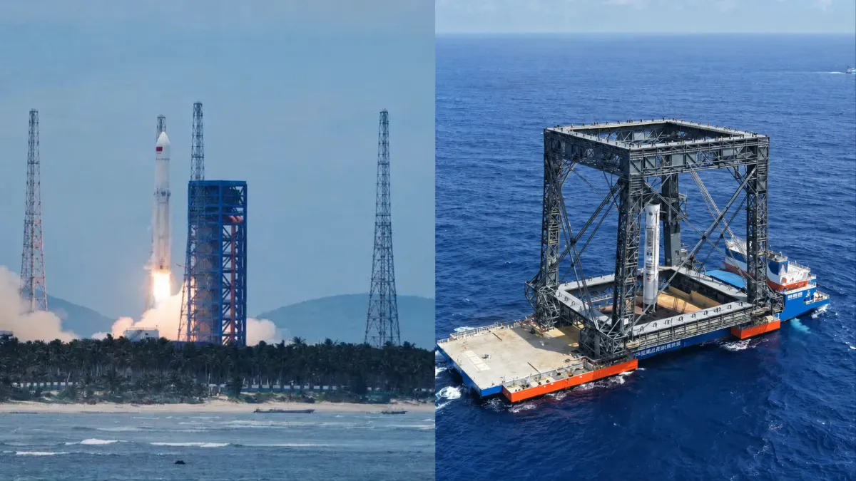
Six Key Metrics for Assessing China’s Reusable Rockets
Read more →: Six Key Metrics for Assessing China’s Reusable RocketsChina’s reusable-rocket race has reached a turning point. With the Long March-10B completing an offshore net-capture recovery and…
-
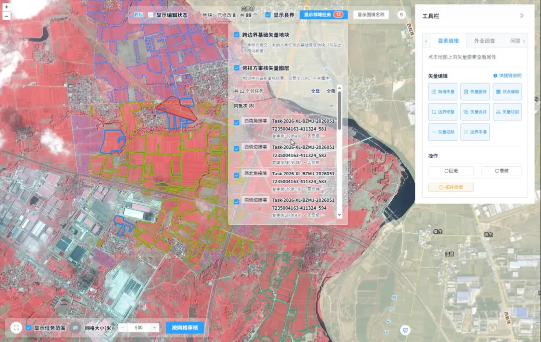
How Is Every Field Accurately Verified? China Uses Remote Sensing for Its Fourth National Agricultural Census
Read more →: How Is Every Field Accurately Verified? China Uses Remote Sensing for Its Fourth National Agricultural CensusRemote sensing technology has given agricultural censuses “eyes in space,” but satellite imagery alone cannot produce agricultural data…
-

How Many Licenses Does a Chinese Satellite Company Need to Operate a Constellation?
Read more →: How Many Licenses Does a Chinese Satellite Company Need to Operate a Constellation?A company can manufacture satellites, launch them, and even complete the initial deployment of a constellation. But charging…
-

Closing the Last Mile of Earth Observation: How FDEs Turn Geospatial Intelligence into Business Outcomes
Read more →: Closing the Last Mile of Earth Observation: How FDEs Turn Geospatial Intelligence into Business Outcomes“We want to identify risks earlier.” For a mining company managing multiple tailings facilities, this is a natural…
-

China–Nepal Border Flood: How Satellite Intelligence Supports Disaster Response When Roads and Communications Fail
Read more →: China–Nepal Border Flood: How Satellite Intelligence Supports Disaster Response When Roads and Communications FailInformation current as of August 28, 2026. The disaster mechanism, casualty figures, and damage estimates remain subject to…