
Blog
-

Onboard Intelligence, Space Data Processing in Orbit and Earth Data Processing in Orbit: Which Will Succeed First?
Read more →: Onboard Intelligence, Space Data Processing in Orbit and Earth Data Processing in Orbit: Which Will Succeed First?Space computing covers three distinct approaches: satellites that process their own observations, constellations that share computing tasks in…
-
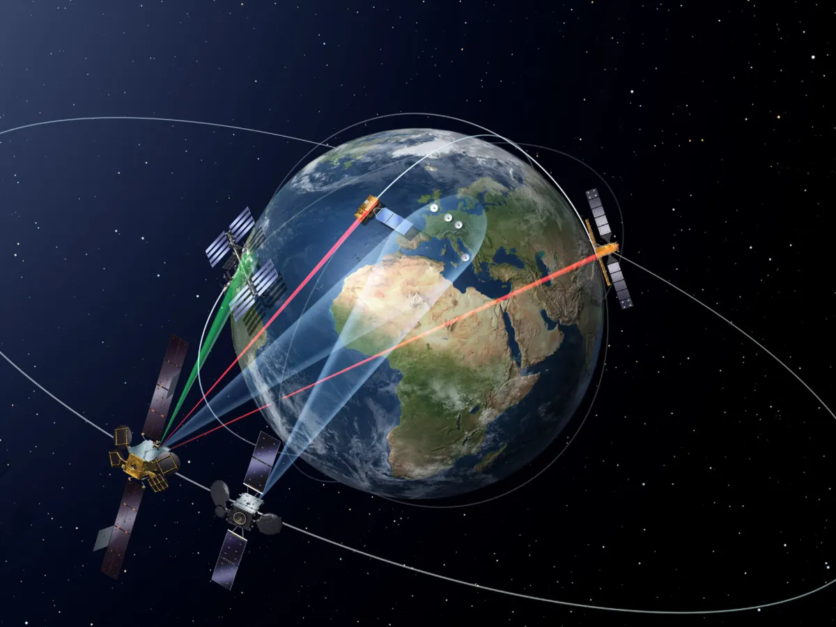
How Does Satellite Imagery Become Intelligence?
Read more →: How Does Satellite Imagery Become Intelligence?Think of a satellite as a courier collecting packages. But what happens after collection? Between a satellite pressing…
-
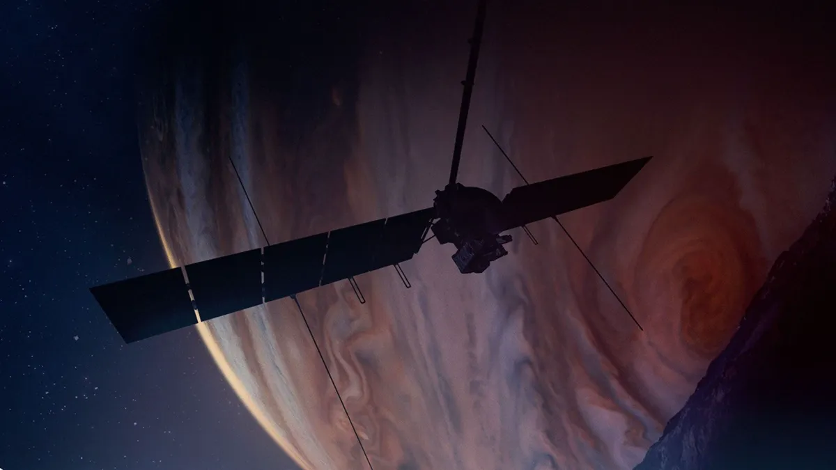
Two Paths to Reliable Space Computing
Read more →: Two Paths to Reliable Space ComputingOne approach relies on BAE Systems’ RAD750 family: expensive radiation-hardened processors with a long record of service on…
-
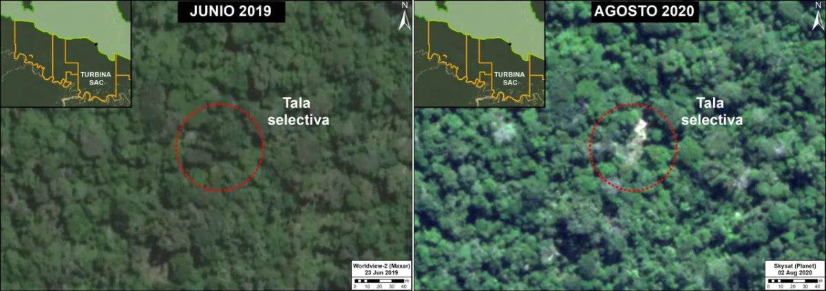
Can Satellite Imagery Detect Selective Logging?
Read more →: Can Satellite Imagery Detect Selective Logging?Satellite imagery can detect some selective logging, particularly when tree removal creates visible canopy gaps, new access routes…
-
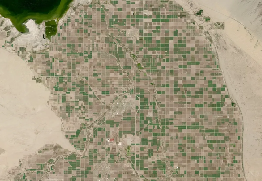
What Can Satellite Imagery Actually Tell You About Crop Health?
Read more →: What Can Satellite Imagery Actually Tell You About Crop Health?Satellite imagery can reveal where crop growth is uneven, how vegetation changes through the season, and which areas…
-
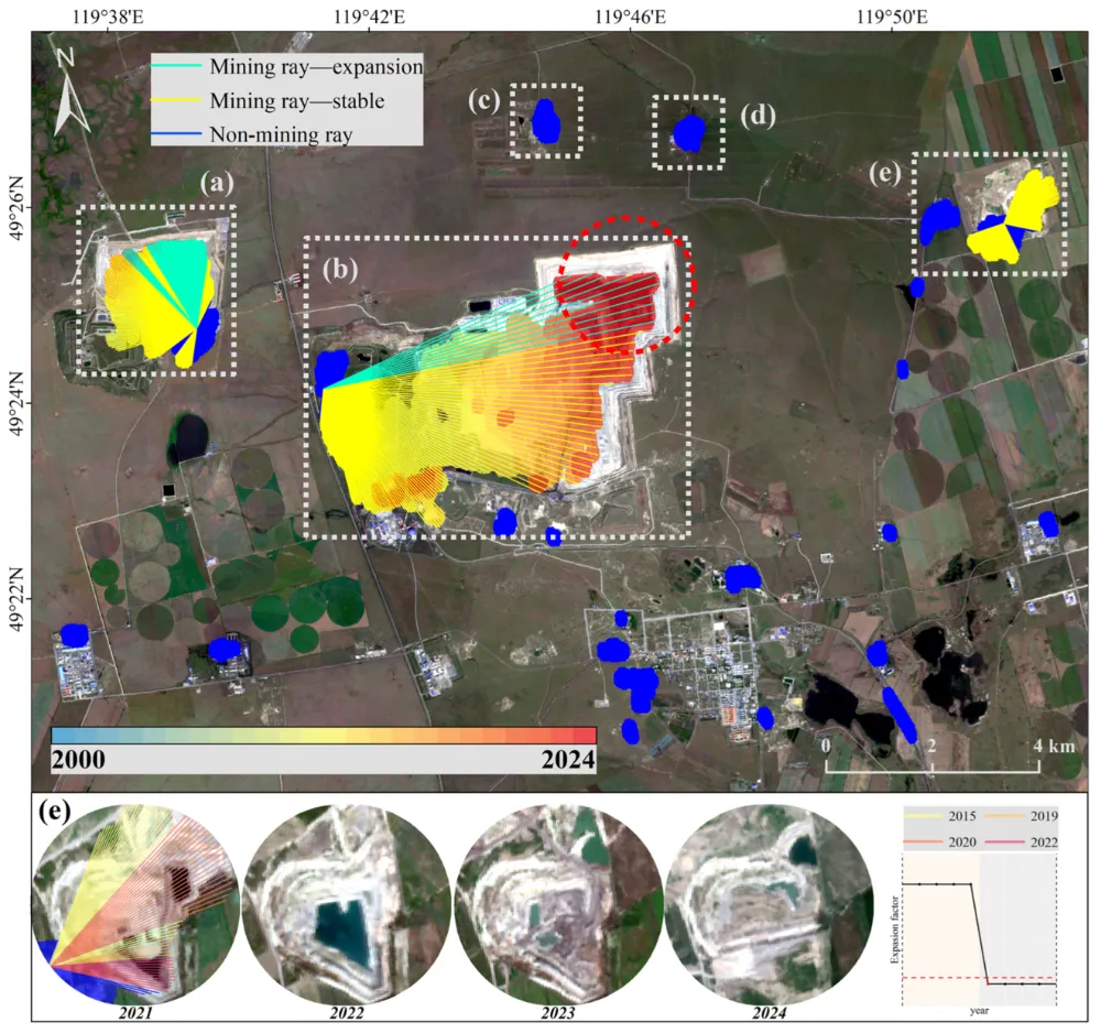
How to Monitor Mining Expansion Using Multi-Temporal Satellite Imagery
Read more →: How to Monitor Mining Expansion Using Multi-Temporal Satellite ImageryMulti-temporal satellite imagery can reveal where a mine’s surface footprint is expanding, which facilities are changing, and how…
-
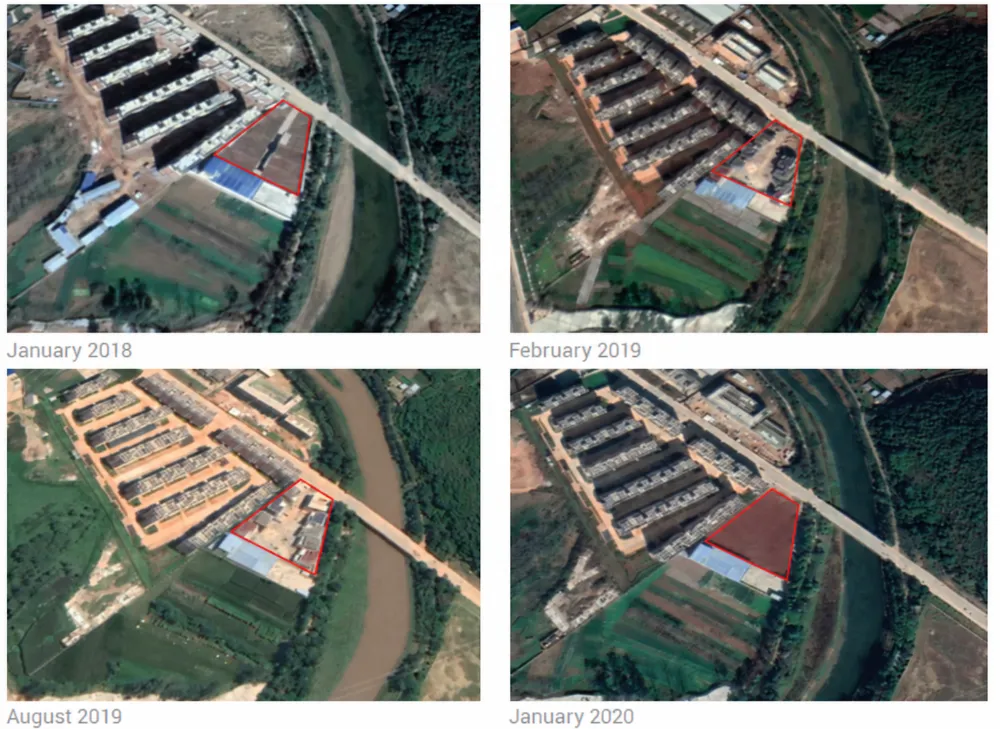
Satellite Revisit Time vs. Actual Monitoring Frequency
Read more →: Satellite Revisit Time vs. Actual Monitoring FrequencyA satellite may be able to revisit your site every few days, yet the interval between usable images…
-
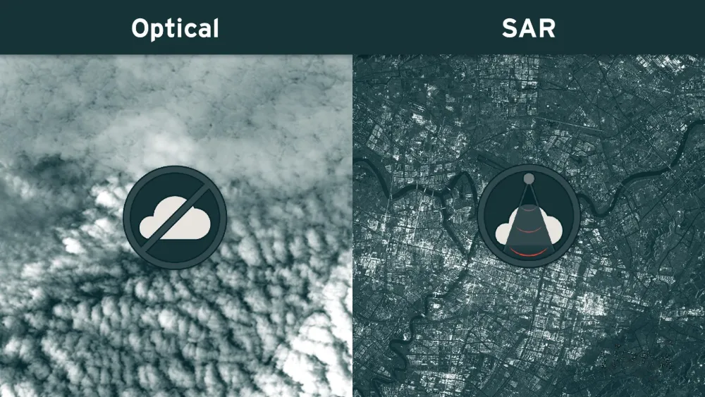
Why Satellite Monitoring Fails Under Cloud Cover — and When SAR Helps
Read more →: Why Satellite Monitoring Fails Under Cloud Cover — and When SAR HelpsA satellite may pass over a mine, port or infrastructure corridor on schedule and still produce no usable…
-
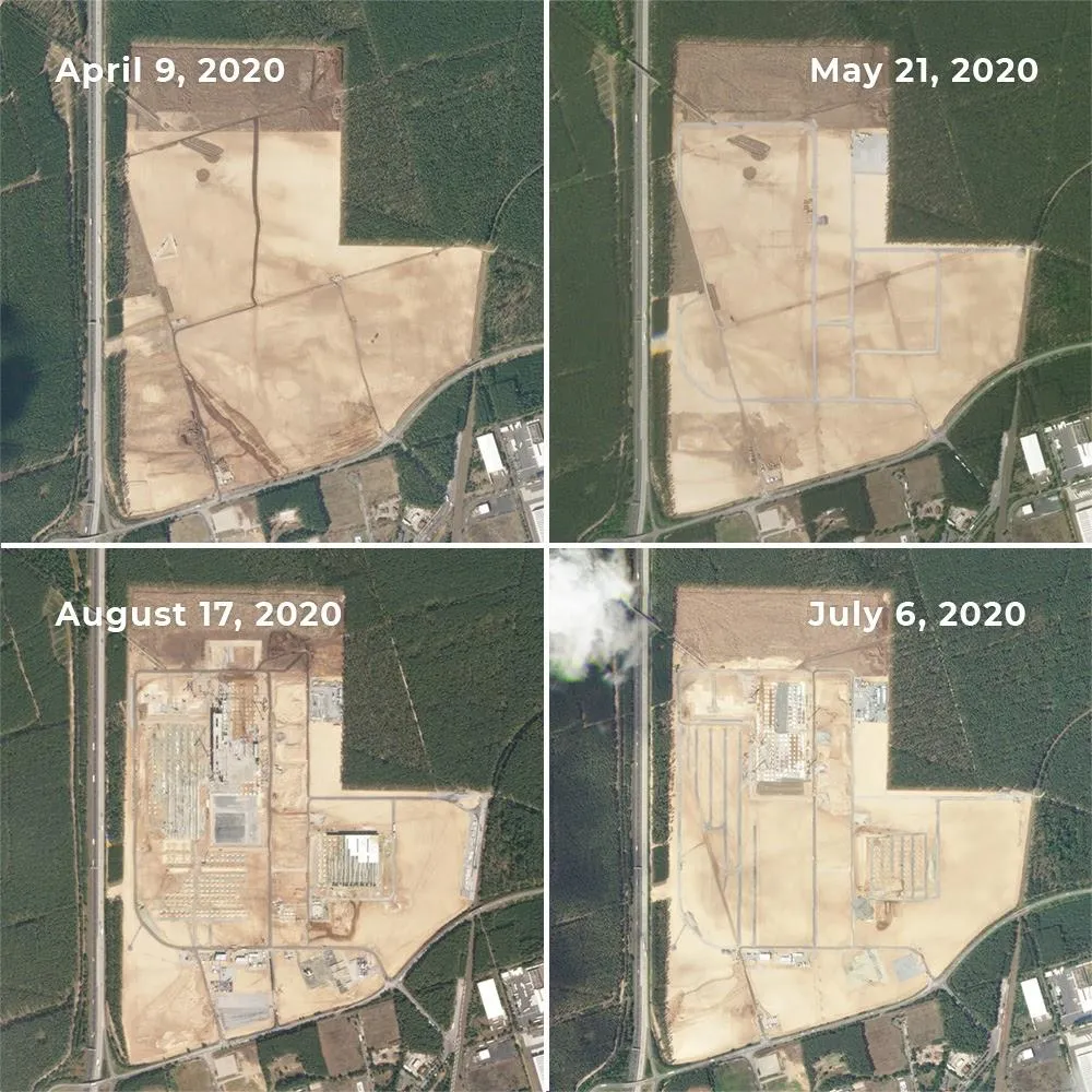
Can Satellite Imagery Detect Early-Stage Construction?
Read more →: Can Satellite Imagery Detect Early-Stage Construction?Satellite imagery can reveal construction activity before a building is completed—and sometimes before its structure appears. Land clearing,…
-
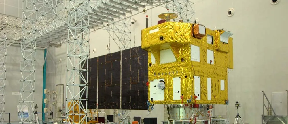
How to Assess a Satellite Thermal Control Company’s Competitive Edge and Growth Potential
Read more →: How to Assess a Satellite Thermal Control Company’s Competitive Edge and Growth PotentialSatellite thermal control may sound like a niche business, but it is critical to a spacecraft’s survival. Yet…
-
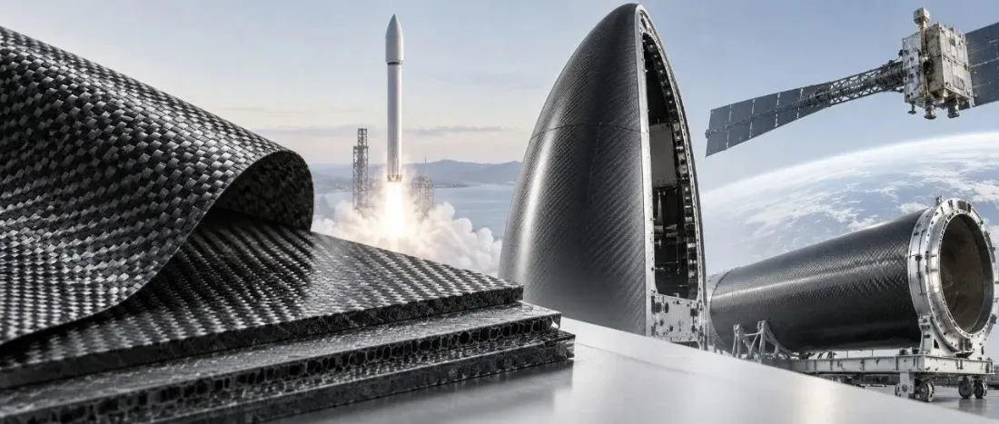
How Carbon Fiber Composites Are Made—and What Their Grades Mean
Read more →: How Carbon Fiber Composites Are Made—and What Their Grades MeanA carbon fiber tow has its own strength and modulus, but it is not yet a structural material…
-
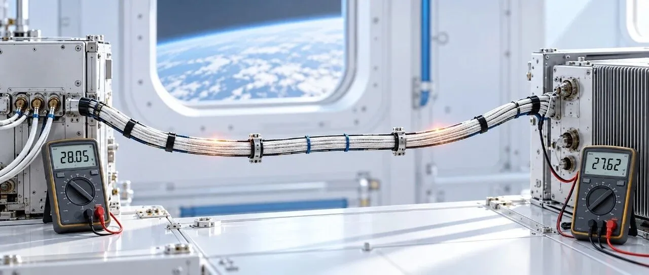
Why Does Voltage Drop Along a Wire but Current Doesn’t?
Read more →: Why Does Voltage Drop Along a Wire but Current Doesn’t?Related reading: How Do Engineers Choose Satellite Cables? In a DC power branch operating steadily, the voltage between…