

Utilities
Satellite-powered planning, construction and operations for power, telecom and municipal infrastructure
Satellite Remote Sensing Driving Utility Digital Transformation
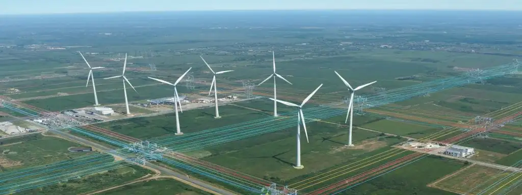
The utility industry faces increasingly complex asset management and service area expansion challenges. Satellite imagery integrates seamlessly into GIS systems, helping companies understand demographic changes, land use patterns and infrastructure distribution across service territories. High-resolution imagery assists planners in creating up-to-date maps with precise city boundaries, road networks, buildings and population data—providing objective, reliable data for capacity planning, compliance approvals and asset protection.
Utility Core Applications
Power Line Planning & Monitoring
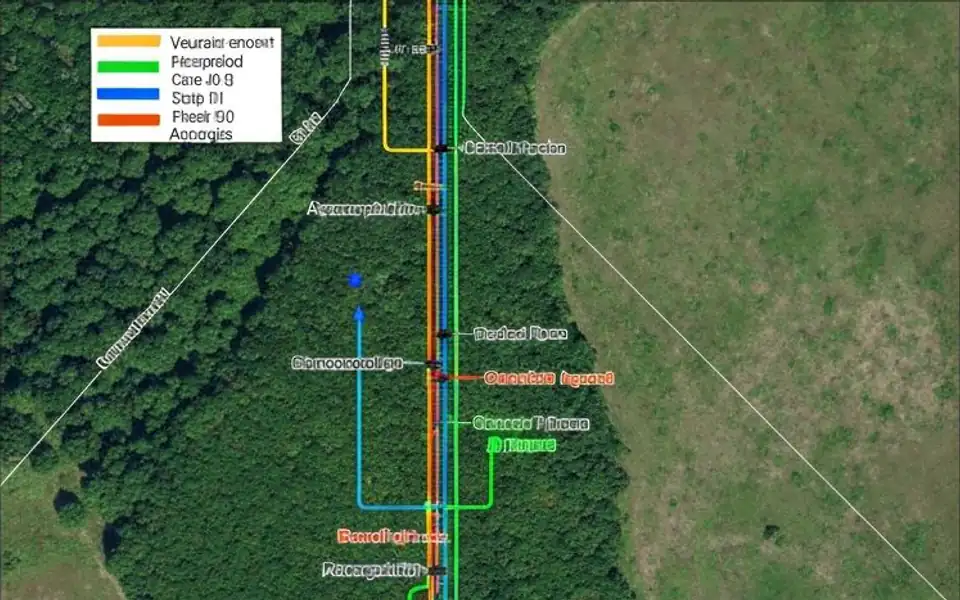
High-precision terrain and land cover data for transmission line routing, corridor clearing and vegetation encroachment monitoring.
Telecom Facility Management
Remotely view and analyze cell tower locations, replacing up to 50% of field surveys and significantly reducing O&M costs.
Capacity Planning & Siting
Integrate population growth and land use data to ensure service capacity matches regional development needs.
Vegetation Management
Regularly monitor vegetation growth along transmission corridors, proactively identifying trees threatening line safety.
Land Compliance & Permitting
Provide objective imagery evidence for permit applications, documenting buffer zones, equipment placement and environmental compliance.
Navigation & Asset Location
Precise asset visualization integrated with GPS applications to optimize fleet dispatch and emergency response routing.
Key Technical Advantages
Wide Coverage
Single acquisition covers hundreds of kilometers of transmission corridors or pipeline networks
Rapid Updates
Regular revisits ensure map data always reflects current conditions
GIS Integration
Seamless connection to existing enterprise GIS systems and workflows
Cost Efficiency
Replaces extensive field surveys, saving time and resources
Fully Managed Service
STARPATH GLOBAL operates a fully managed satellite data pipeline designed to remove operational complexity from geospatial data acquisition and delivery.
End-to-End Lifecycle Management
We coordinate the full lifecycle of satellite intelligence—from mission tasking and data sourcing to processing, quality control, and final delivery—through a controlled, end-to-end workflow managed by our specialists.
Zero Technical Overhead for Clients
Clients define objectives and review outputs. No technical expertise is required to operate the system. We handle all operational execution, including satellite tasking, sensor selection, data acquisition, and downstream processing within a structured production pipeline.
Faster Decisions, Lower Operational Cost
This model transforms satellite data access into a managed intelligence service, enabling faster decisions, reduced operational overhead, and consistent data reliability at scale.