
Blog
-
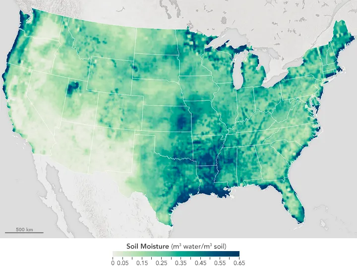
How Reliable Is Satellite Soil Moisture at Field Scale?
Read more →: How Reliable Is Satellite Soil Moisture at Field Scale?Satellite soil moisture can help identify drying trends, track surface wetting and prioritize agricultural inspections. Whether it can…
-
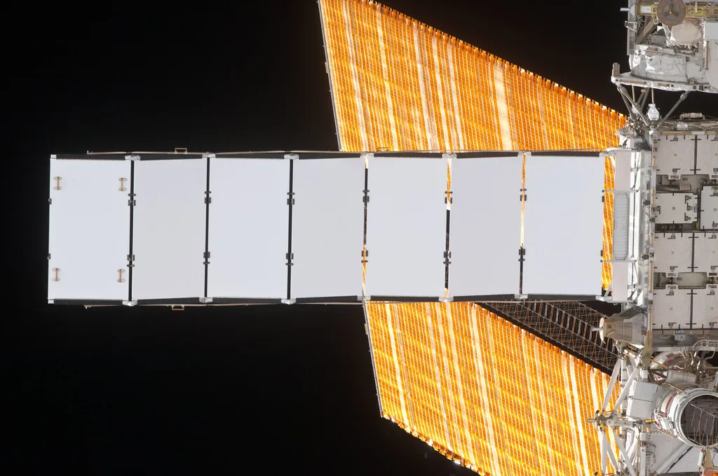
New Computing Satellites Reach Orbit. Is Thermal Control the Next Major Opportunity—and Challenge?
Read more →: New Computing Satellites Reach Orbit. Is Thermal Control the Next Major Opportunity—and Challenge?From chip hotspots to continuous heat rejection, how computing workloads are changing satellite thermal requirements. On October 14,…
-
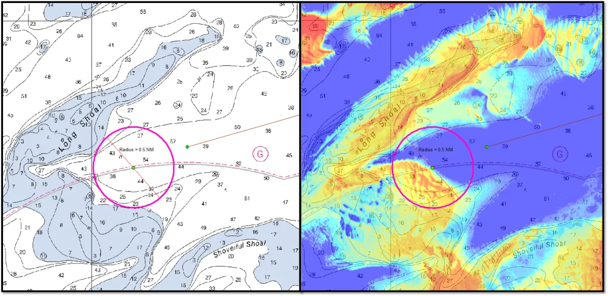
Can Satellite Imagery Measure Shallow-Water Depth?
Read more →: Can Satellite Imagery Measure Shallow-Water Depth?Yes, satellite imagery can estimate shallow-water depth where enough light reaches the bottom and returns to the sensor.…
-
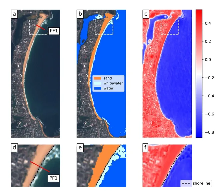
How to Measure Shoreline Change Without Mistaking Tides for Erosion
Read more →: How to Measure Shoreline Change Without Mistaking Tides for ErosionA shoreline can move landward between two satellite images even when the beach has lost no sediment. A…
-
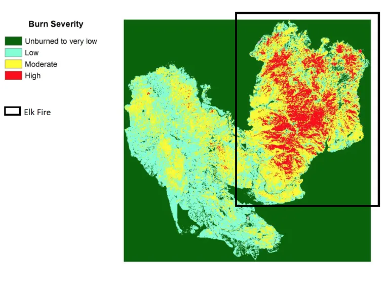
How to Assess Wildfire Burn Severity with Satellite Imagery
Read more →: How to Assess Wildfire Burn Severity with Satellite ImageryAfter a wildfire, mapping the affected area is only the first step. Forest managers also need to understand…
-
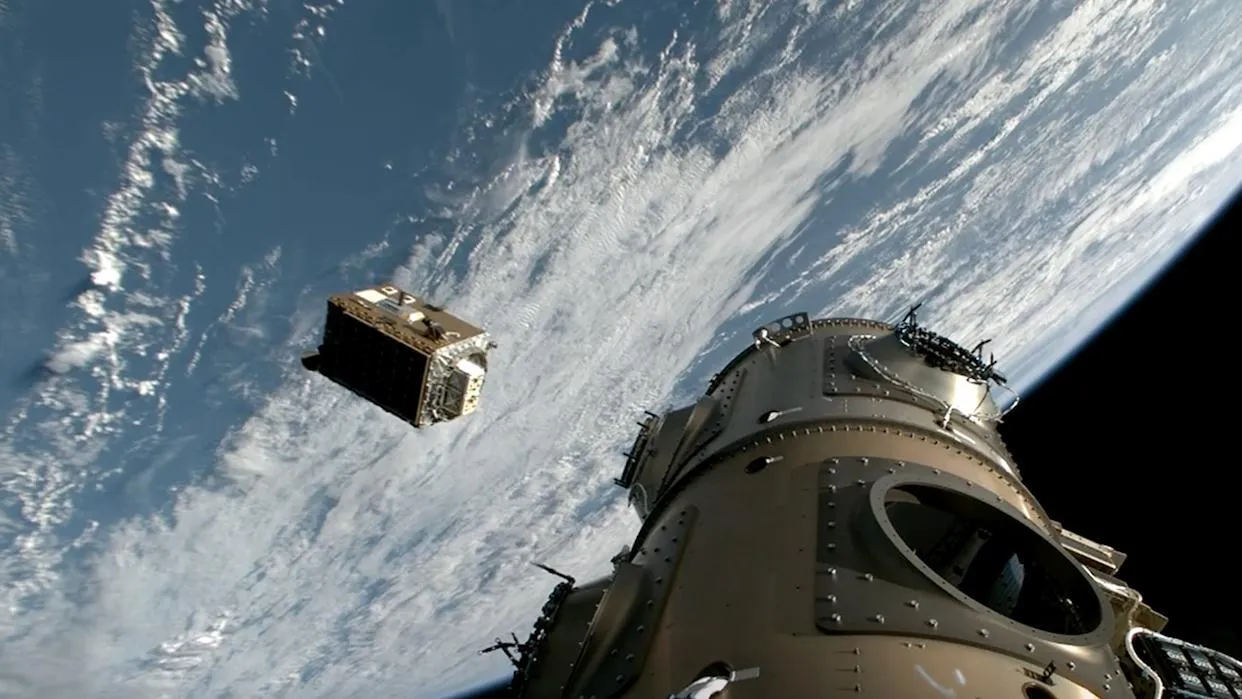
Orbital Data Centers: What’s Proven, What’s Still a Promise
Read more →: Orbital Data Centers: What’s Proven, What’s Still a PromiseOrbital data centers have attracted sweeping claims, but the flight evidence remains limited. Three programs help separate demonstrated…
-
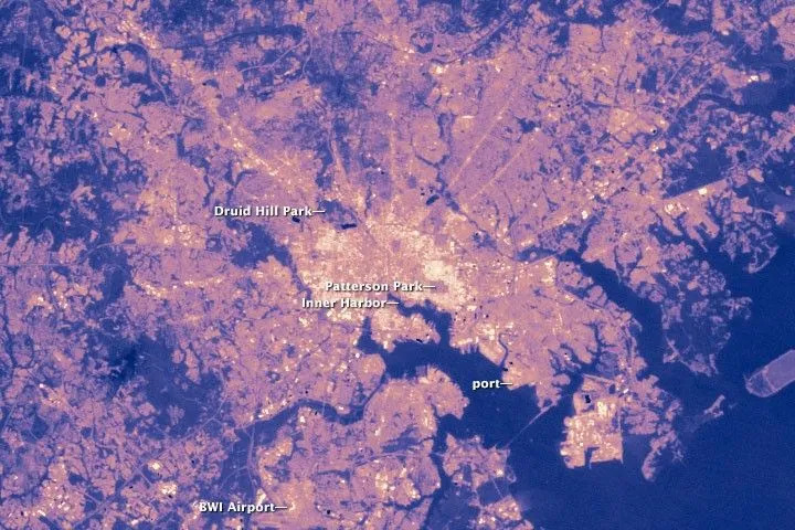
Why Satellite Surface Temperature Differs from Air Temperature
Read more →: Why Satellite Surface Temperature Differs from Air TemperatureA satellite temperature map can show a hot industrial district while a nearby weather station reports a much…
-
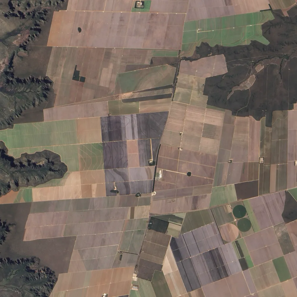
Can Satellites Measure Soil Organic Carbon?
Read more →: Can Satellites Measure Soil Organic Carbon?Satellites can help estimate soil organic carbon and map its spatial variation, but they do not directly measure…
-
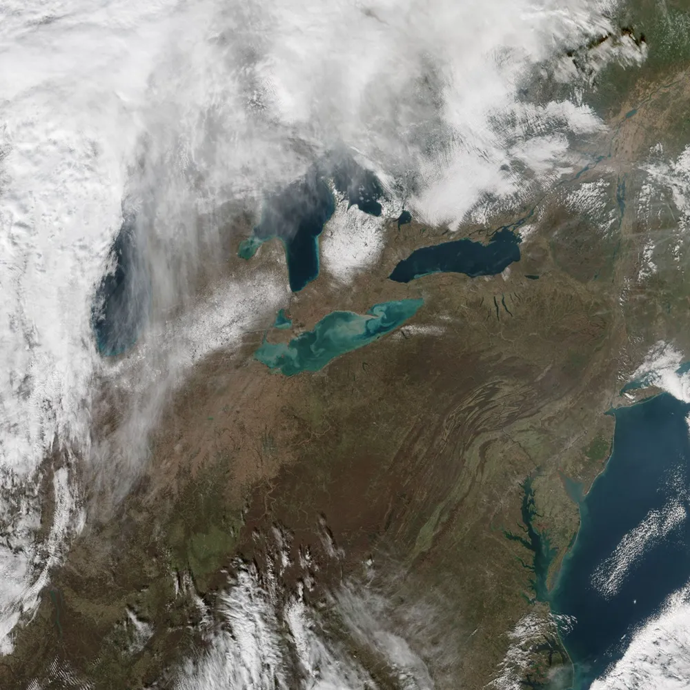
How Reliable Is Satellite-Derived Water Turbidity?
Read more →: How Reliable Is Satellite-Derived Water Turbidity?Satellite-derived turbidity can support reliable monitoring of sediment plumes, seasonal patterns and unusual changes across rivers, lakes and…
-
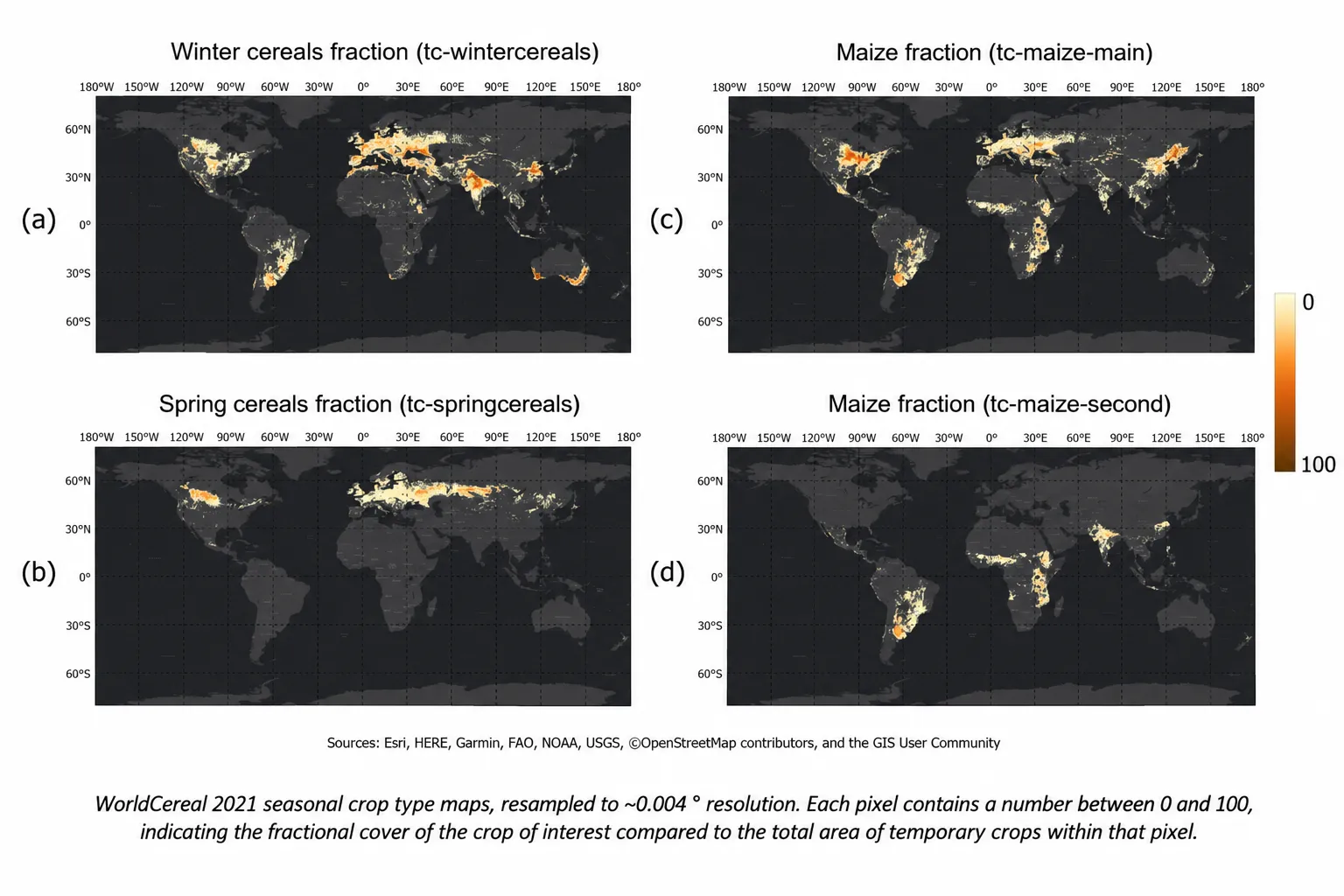
How to Identify Crop Types with Limited Ground Truth
Read more →: How to Identify Crop Types with Limited Ground TruthSatellite imagery can help identify what farmers are growing, even when field observations are limited. But a detailed…
-
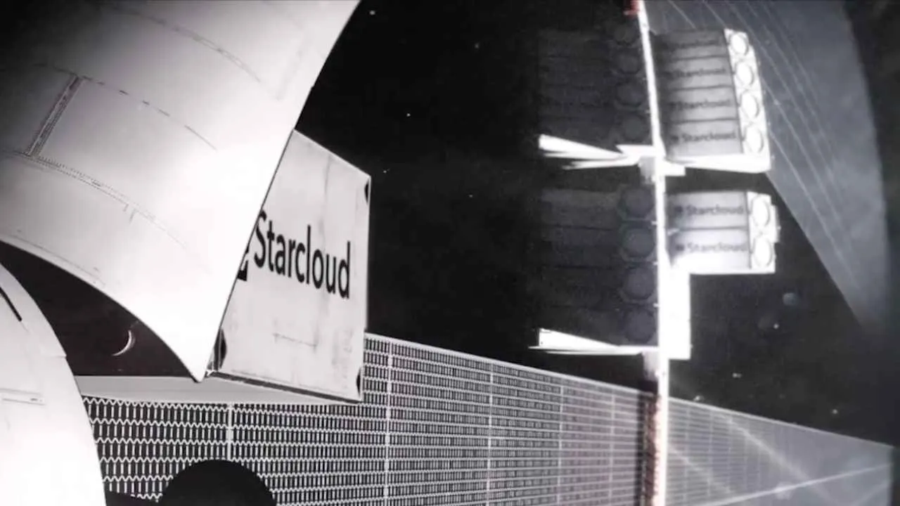
From Server Racks to Constellation-Scale Computing Networks
Read more →: From Server Racks to Constellation-Scale Computing NetworksLaunch costs and heat rejection are two of the biggest expenses facing orbital data centers. At the engineering…
-
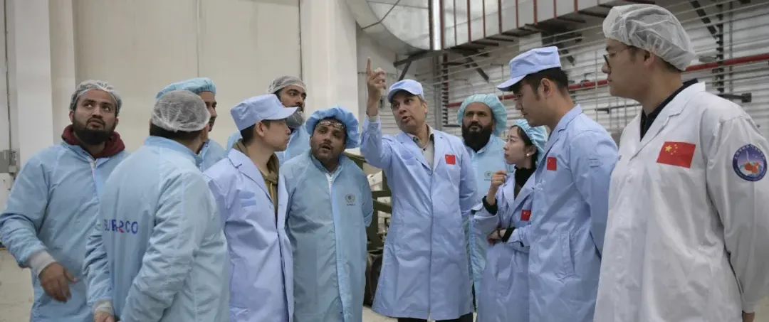
China’s State-Owned Space Company Expands Global Markets
Read more →: China’s State-Owned Space Company Expands Global MarketsAs China marks the 70th anniversary of its space program in 2026, China Great Wall Industry Corporation (CGWIC)…