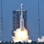
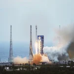
BEIJING, Jan. 11 (China Space News) — China’s first high-resolution, stereo mapping satellite Ziyuan III meets international standards, ridding the country of its reliance on imports of satellite images.
It was announced at a seminar reviewing the research and development of Ziyuan III held on Wednesday, one year after the satellite was launched.
China used to import over 90 percent of its remote-sensing data, according to the seminar.
The launch of Ziyuan III has enhanced the country’s capability to capture space remote-sensing images, bolstered state security and boosted the geo-information industry.
Also according to the seminar, China plans to build a remote-sensing mapping satellite system in 10 to 15 years. Three follow-up mapping satellites are already in the pipeline.
The Ziyuan III 02 satellite is likely to be launched in early 2014, allowing the two orbiters to form a network, so that real-time data on any given point on earth can be retrieved throughout the day.