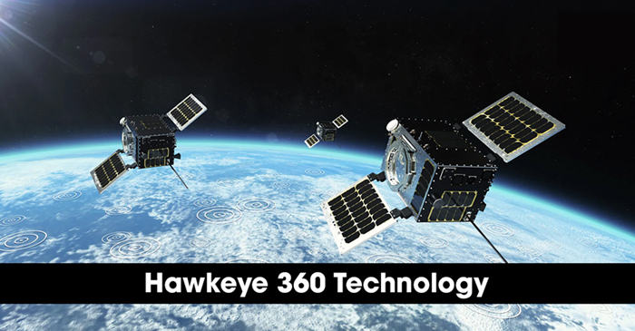
HawkEye 360, headquartered in Herndon, Virginia, continues to expand the space-based radio frequency (RF) intelligence capabilities through a proprietary satellite constellation and advanced geolocation technology. The company’s technology platform is designed to detect, process and geolocate RF emissions globally, delivering actionable insights to defense, government and commercial customers. Operating clusters of small satellites in Low Earth Orbit (LEO), HawkEye 360 has developed a unique approach to RF signal detection that enables precise geolocation of emitters without relying on cooperative systems. The technology architecture integrates space-based sensing, formation-flying satellites and cloud-based analytics to provide persistent RF awareness across land, sea and air domains.
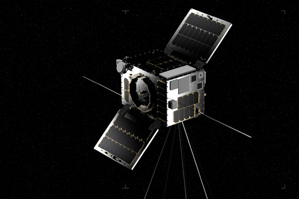
At the core of HawkEye 360’s technology is the use of tri-satellite clusters operating in coordinated formation. Each cluster consists of three satellites flying in a controlled relative geometry. By capturing the same RF signal nearly simultaneously from slightly different positions in space, the system calculates the emitter’s location using time difference of arrival (TDOA) and frequency difference of arrival (FDOA) techniques. This formation-flying approach enables independent geolocation of RF signals with high precision. The satellites are designed to operate as a synchronized sensing system, collecting signal characteristics such as frequency, modulation, bandwidth and signal strength, which are then transmitted to ground stations for further processing. HawkEye 360’s satellites are equipped with specialized RF payloads capable of detecting a wide range of frequencies. These include signals associated with maritime radar, satellite communications, VHF radios, emergency beacons and other electronic emissions.
HawkEye 360’s constellation focuses exclusively on the RF spectrum, that enables the detection of activity even in conditions where optical or radar imagery may be limited. By identifying non-cooperative emitters, the system enhances domain awareness across maritime, border and strategic environments. Once RF data is captured in orbit, it is processed through HawkEye 360’s ground-based analytics platform. The company applies advanced signal processing algorithms and geospatial analytics to transform raw RF captures into geolocated data products. The geolocation process combines TDOA and FDOA methodologies to calculate emitter positions. Additional analytics classify signal types, identify patterns of activity and correlate emissions with other datasets to provide context. This capability enables users to detect vessels operating without AIS, monitor spectrum interference, identify unauthorized transmissions and support situational awareness operations.

HawkEye 360 integrates its RF detection capability with a cloud-based analytics and data delivery infrastructure. Customers can access RF data products through secure platforms that support integration with existing intelligence, surveillance, and reconnaissance (ISR) workflows. The company provides both subscription-based data services and tailored analytics products. The technology supports historical data analysis as well as near-real-time monitoring, enabling operational decision-making across defense, security, environmental monitoring and spectrum management applications. HawkEye 360 continues to expand the satellite constellation through successive cluster deployments. The scalable architecture enables increased revisit rates, broader geographic coverage and enhanced frequency range capabilities over time.

By deploying clusters in complementary orbital planes, the company improves global RF coverage and reduces latency between signal detection and geolocation reporting. This scalable model supports long-term constellation growth aligned with evolving mission requirements. The company’s technology supports a variety of operational use cases, including maritime domain awareness, illegal fishing detection, sanctions enforcement, border security, disaster response and spectrum monitoring. By detecting RF emissions independently of visual confirmation systems, HawkEye 360 provides an additional layer of intelligence to complement satellite imagery and terrestrial monitoring systems.
About HawkEye 360
HawkEye 360 is a U.S.-based space data analytics company specializing in the collection and analysis of radio frequency (RF) signals from space. Headquartered in Virginia, USA, HawkEye 360 operates a commercial satellite constellation designed to detect, characterize and geolocate RF emissions worldwide. The company’s satellite clusters operate in Low Earth Orbit (LEO) and are engineered to identify a broad range of RF signals, including maritime, aviation, communications and other electronic transmissions. By processing RF data through advanced analytics platforms, HawkEye 360 provides insights that support maritime domain awareness, border security, spectrum monitoring and defense applications. Through space-based sensing and geospatial analytics, HawkEye 360 delivers actionable RF intelligence products to government, defense and commercial customers, for enhanced situational awareness and operational decision-making across global markets.