
Author: starpathwp-production
-
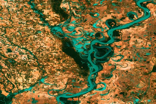
General Dynamics Mission Systems Unveils New S-Band Transponder for Satellite Applications
General Dynamics Mission Systems one of the leading providers of mission-critical systems and products to space, defense, civil government, intelligence, and cybersecurity customers has announced a new S-Band transponder for the satellite market. The Multi-Mode Standard Transponder (MST 200) is an S-Band transponder that provides compatibility with a variety of government and commercial telemetry and…
-

Evolution Space Successfully Completes First Space Mission Passing the Kármán Line
Evolution Space, a Mojave, Calif-based solid propulsion and launch provider, announced the successful completion of their first space mission, Gold Chain Cowboy. The rocket reached apogee at 124.5 kilometers (408,456 ft), 24.5 km past the Kármán line – the internationally recognized boundary of space. This marks a significant milestone for the company and the greater…
-

Celebrating the 2022 Winners of SEOTY and STOTY
Welcome to our May Edition of Via Satellite where we celebrate our recent winners of the Satellite Executive of the Year (SEOTY) and Satellite Technology of the Year (STOTY) awards. Our cover story is an interview with SEOTY winner, Melanie Stricklan, the inspirational CEO of Slingshot Aerospace. Stricklan’s story is such an interesting one, growing…
-
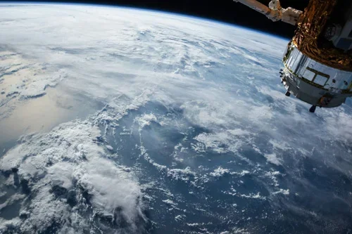
China releases global color images of Mars
The China National Space Administration (CNSA) and the Chinese Academy of Sciences (CAS) on Monday jointly released a series of global images of Mars obtained during China’s first Mars exploration mission. The series of colored images were released at the launch event of the Space Day of China held in Hefei, capital city of east…
-
China unveils first global panoramic images of Mars
China published on Monday the first global panoramic images of Mars taken by the country’s Tianwen 1 orbiter. The color images include the Robinson projection, Mercator projection, azimuth projection and orthographic projection of the Eastern and Western hemispheres of the Red Planet, with a spatial resolution of 76 meters. They were jointly released by the…
-
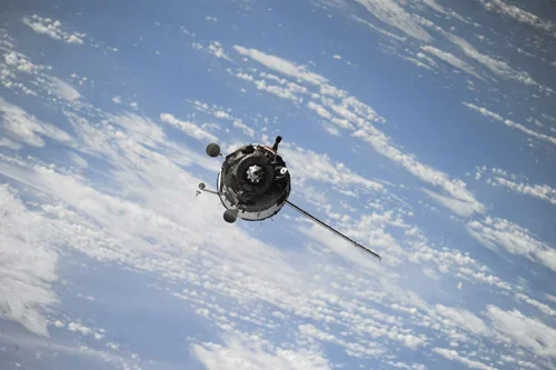
China kicks off its Space Day, showcases images of Mars
China celebrated its Space Day this year on Monday with a series of activities and events. As part of the festivities, the country released global color images of Mars obtained from its first Mars exploration mission. A launch ceremony of the Space Day was held Monday in Hefei, capital city of east China’s Anhui Province,…
-

Photos: Starship pad damage; Elon says 1-2 months until next flight
Base on just one video from LabPadre, one can assume that extensive damage was caused as a result of the test launch of the world’s most powerful rocket. A Virtual Reality (VR) camera placed on a truck showed one of the remote camera sites getting blasted with concrete. This included the NASA Space Flight camera…
-

As megaconstellations grow, scientists become concerned with their impacts on astronomy
Since their initial launch in 2019, SpaceX’s Starlink internet satellites have become infamous for photobombing observations from ground-based telescopes. While Starlink — along with other satellite “megaconstellations” — has been a primary concern for ground-based telescope observations, a new issue has begun to pop up; the satellites are now occasionally obstructing images from one of…
-
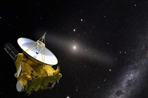
NASA says falling satellite poses a ‘risk of harm’ on Earth [Update]
Reports claiming the satellite was seen as a bright flash over Kyiv, Ukraine, are false. The now-retired satellite, known as RHESSI (Reuven Ramaty High Energy Solar Spectroscopic Imager), was launched into space by NASA in 2002 to observe solar flares and coronal mass ejections from its low-Earth orbit. However, due to “communications difficulties,” the satellite…
-
India’s PSLV launches with two Singaporean satellites
India’s Polar Satellite Launch Vehicle lifts off from the Satish Dhawan Space Center on Saturday. Credit: ISRO An Indian Polar Satellite Launch Vehicle lifted off Saturday and flew to an altitude of more than 360 miles (580 kilometers) to deploy two Singaporean satellites, one for all-weather radar imaging surveillance and another for technology demonstrations. The…