
Tag: Earth Observation Data
-
A Beginner’s Guide to Using Earth Observation Data
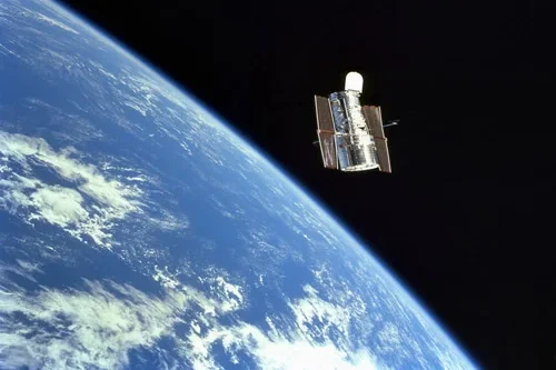
Look up at the sky. What do you see? Clouds, maybe a bird or a plane. Now imagine looking down from far above those clouds. You’d see construction sites taking shape, mines expanding, pipelines stretching across continents, storm systems forming offshore, and cities changing year by year. That perspective from space is what we call…
-
Common Mistakes Business Users Make with Earth Observation Data (and How to Avoid Them)
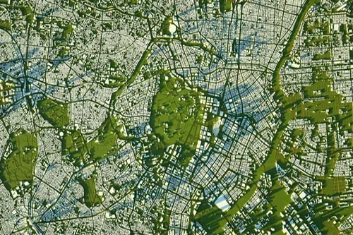
The view from above is changing how we do business. Satellite imagery and remote sensing, collectively known as Earth observation (EO) data, are no longer just tools for spies or meteorologists. Today, hedge funds use them to count cars in retail parking lots, insurance companies use them to assess flood risk, and farmers use them…
-
Types of Earth Observation Data
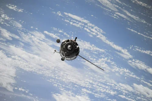
For over 60 years humans have been putting cameras and sensors into space to look back at our planet. Satellites capture data across the electromagnetic spectrum — from visible wavelengths all the way to radio wavelengths. This is called Earth Observation (EO) data. We provide access to Earth Observation data so you can build valuable…
-
Improving flood forecasting with Earth observation data
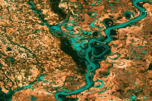
Improving flood forecasting with Earth observation data is not only possible but it’s been done time and time again. Luca Brocca is a Researcher at the Research Institute of Geo-Hydrological Protection (IRPI) of the National Research Council (CNR), a branch of the Italian government dedicated to monitoring and preventing floods, landslides, droughts, and other water-related…