Tag: geospatial journalism
-
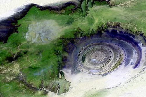
Enhancing News Coverage with Satellite Imagery Analysis
Satellite imagery can capture visuals of natural disasters, political conflicts, and environmental changes. Take this example from BAP Intel, a STARPATH GLOBAL customer who went from a hobbyist to a professional analyst by monitoring the Ukrainian border in 2022. The goal was to capture imagery to detect movement from the Russian government and document any changes.…