
Tag: Land Use
-
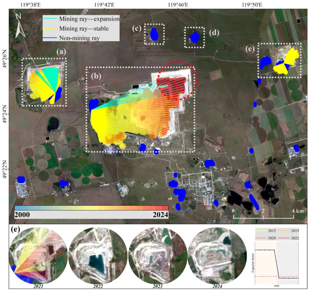
How to Monitor Mining Expansion Using Multi-Temporal Satellite Imagery
Multi-temporal satellite imagery can reveal where a mine’s surface footprint is expanding, which facilities are changing, and how surrounding land is being affected. Reliable monitoring, however, requires more than placing two images side by side. The images must be comparable, the changes must be linked to specific mine features, and the findings must be checked…
-
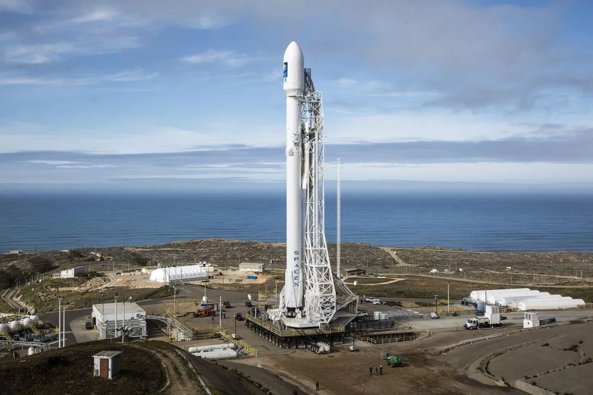
Brownsville Police Investigate Gunfire Outside Commissioner’s Home After SpaceX Land Vote
Brownsville police are investigating gunfire reported outside a city commissioner’s home early Saturday, September 5, days after the Brownsville City Commission unanimously approved the disannexation of more than 444 acres sought by SpaceX as part of a $220 million water-infrastructure agreement. No injuries were reported, and police have not established any connection between the shooting…