
Tag: monitoring
-
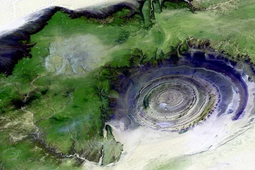
Why GIS Specialists Are Shifting From Mapping to Monitoring
The shift from mapping to monitoring comes down to the frequency of tasking satellite imagery. Gathering Earth Observation data is a tactic used across industries to help solve some of the world’s biggest problems. From predicting crop yields in agriculture to monitoring oil pipelines, the use cases for satellite imagery are limitless. Mapping is certainly…
-
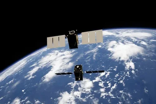
Monitoring animal populations from space
Using high-resolution satellite imagery, Peter Fretwell and his team began monitoring animal populations, creating the world’s first census of species taken from space in 2009. Then went on to repeat it. “We started with penguins, then have gone on to look at whales, then seals – we haven’t published much on seals yet. Now, we are working…