
Tag: Satellite-Derived Bathymetry
-
Can Satellite Imagery Measure Shallow-Water Depth?
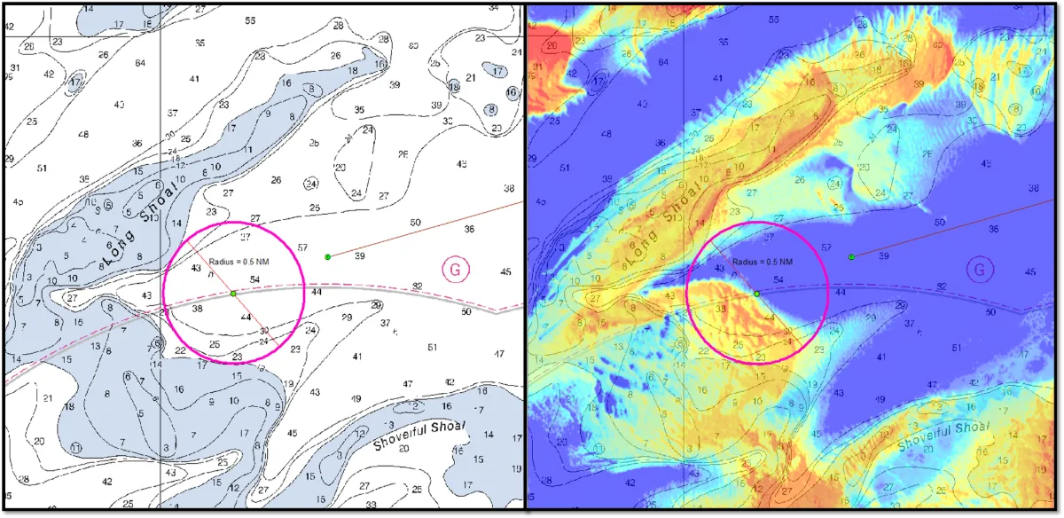
Yes, satellite imagery can estimate shallow-water depth where enough light reaches the bottom and returns to the sensor. This approach, known as satellite-derived bathymetry (SDB), can help map coastal shallows, identify possible shoals and prioritize areas for detailed surveys. Its usefulness depends on water clarity, bottom conditions, image quality and validation against reliable depth measurements.…