
Tag: Satellite
-

Simera Sense Imaging Technology Selected for Canary Islands Earth Observation Constellation
Simera Sense, a leading European provider of optical payload solutions for small satellites, has been selected by Telespazio Ibérica to supply eight MultiScape100 Earth observation imagers for the Canary Islands Satellite Constellation, a landmark regional space program commissioned by the Tenerife Island Council. The Canary Islands Satellite Constellation represents one of the most ambitious Earth…
-

TelePIX Advances AI-Driven Satellite Services with Integrated Hardware and Software Solutions
TelePIX is advancing satellite operations and Earth observation through a portfolio of artificial intelligence-driven space technologies that combine onboard computing hardware, intelligent software and satellite mission solutions. By integrating AI directly into spacecraft systems, the company is enabling satellites to process, analyze and utilize data in orbit, supporting faster decision-making, more efficient mission operations and…
-
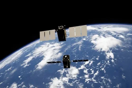
Orbit Fab Announces Leadership Expansion and Series B Funding Round
Orbit Fab, the leading provider of in-space refueling infrastructure, announced significant leadership appointments and governance enhancements, securing of interim financing, and the opening of its Series B funding round as the company enters its next phase of commercial growth and execution. Orbit Fab has appointed Peter Shaper as Chief Executive Officer. Shaper brings more than…
-

D-Orbit Launches 23rd Commercial Mission with ION Satellite Carrier
D-Orbit, a global leader in space logistics and orbital transportation, launched Above the Summer Sky, the 23rd commercial mission of its orbital transfer vehicle (OTV), ION Satellite Carrier (ION), aboard SpaceX’s Transporter-17 mission. The OTV was launched from Space Launch Complex 4E (SLC-4E) at Vandenberg Space Force Base in California at 00:12 PDT (07:12 UTC).…
-
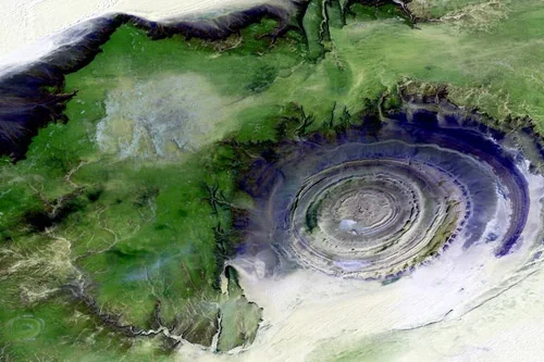
Capella Space Enhances SAR Services for Persistent All-Weather Earth Observation
Capella Space is advancing its synthetic aperture radar (SAR) data services with high-resolution imaging capabilities designed to deliver mission-ready intelligence in all weather conditions, day or night. Leveraging a mixed-orbit satellite architecture, extended satellite duty cycles and sub-20-minute tasking confirmation, the company enables rapid collection of Earth observation data for government, defence, commercial and scientific users.…
-

GomSpace Secures 2 Million Euro ESA contract to Support Apophis RAMSES Mission
GomSpace has secured a contract valued at 1.5 MEUR (16.6 MSEK), with an additional 500 KEUR (5.5 MSEK) in optional activities, as part of the European Space Agency’s (ESA) RAMSES mission to visit the Apophis asteroid in 2029. Under the contract, GomSpace will act as a subcontractor to EMXYS (Spain), supporting the development of a…
-

Iridium Completes Acquisition of Aireon
Iridium Communications, a leading provider of global voice, data, and positioning, navigation, and timing (PNT) satellite services, announced that it has completed its acquisition of Aireon LLC, operator of the world’s only space-based Automatic Dependent Surveillance-Broadcast (ADS-B) air traffic surveillance system. “Iridium and Aireon are fully aligned in our mission to advance the future of…
-

Spectrolab Advances Spacecraft Power Generation with Multi-Junction Photovoltaic Technologies
Spectrolab continues to support commercial, civil and defense space missions through the portfolio of high-efficiency multi-junction photovoltaic technologies and integrated solar power solutions. The company develops, manufactures and tests space-qualified solar cells and complete solar panel assemblies engineered to provide reliable electrical power for satellites operating across orbital environments and mission durations. Satellites rely on…
-

AAC Clyde Space Secures ESA Contract for Airborne Radiometer Instrument
AAC Clyde Space has received a EUR 2.0 M (approx. SEK 22.1 M) order from the European Space Agency (ESA) to develop and demonstrate via flight an airborne microwave radiometer instrument for future satellite altimetry missions. Revenue from the project will be recognized over the project’s expected 24-month duration. AAC Clyde Space’s subsidiary AAC Omnisys,…
-

Teledyne Digital Imaging US Launches High-Resolution Space-Ready Camera
Teledyne Digital Imaging US, a Teledyne Technologies company, announced a new high-resolution space-ready camera based on its Emerald™ 67M CMOS image sensor. The camera is enabled by an intellectual property licensing agreement with Space Dynamics Laboratory that gives Teledyne rights to commercialize SDL-developed sensor electronics technology. The licensed technology includes sensor electronics designs, software, technical…