
Tag: Stereo Imagery
-
Can Stereo Satellite Imagery Produce a Bare-Earth Terrain Model?
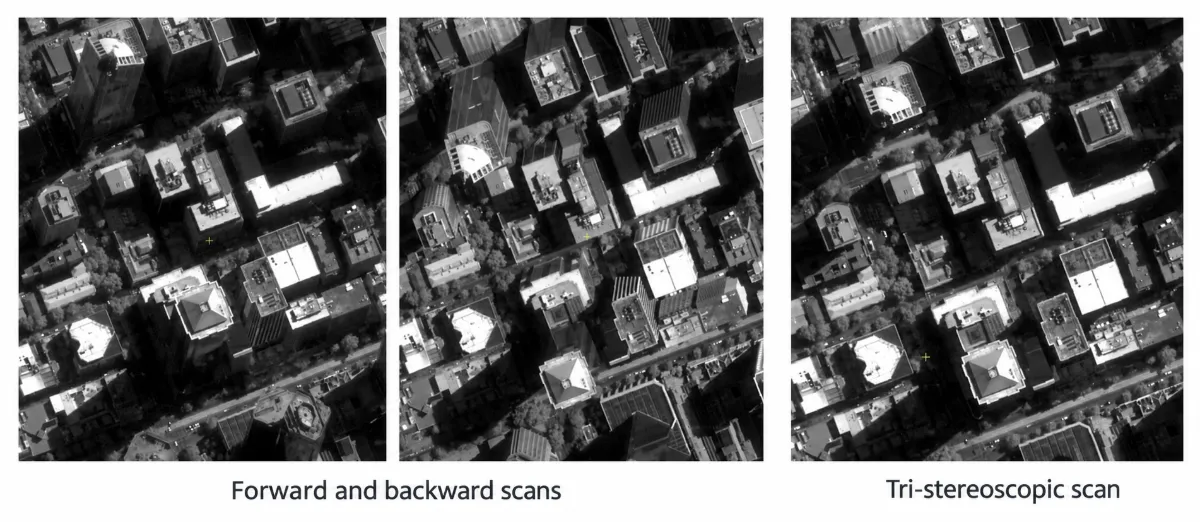
Stereo satellite imagery can support bare-earth terrain mapping where enough ground is visible, but it does not automatically reveal the land beneath trees or buildings. Its first elevation product is usually a digital surface model (DSM), representing the surfaces the cameras can see. Producing a reliable digital terrain model (DTM) requires identifying ground observations, handling…