
Tag: Synthetic Aperture Radar
-
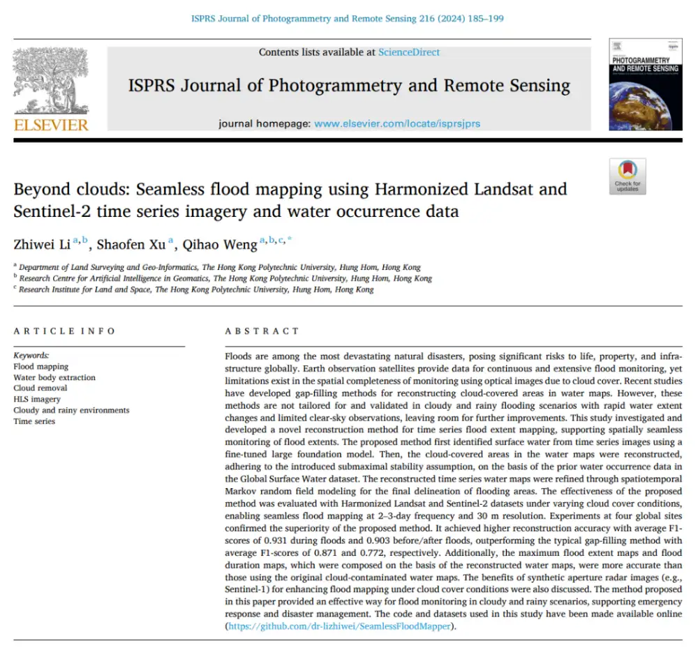
Can Optical Satellites Keep Tracking Floods When Clouds Block the View?
In brief: Landsat and Sentinel-2 can capture flood details well, but they are most vulnerable to the very condition that often accompanies major flooding: cloud cover. Rather than trying to generate a visually plausible cloud-free optical image, this study directly reconstructs whether the surface beneath the clouds is water or non-water. The researchers combined Harmonized…
-

Russian Satellite Imagery Reportedly Supports Iranian Targeting of U.S. Bases
Russian Earth observation satellites are providing imagery to Iranian military forces to support targeting of U.S. and allied installations across the Middle East, according to defense intelligence assessments reported on September 17, 2026. The reported cooperation involves synthetic aperture radar and high-resolution optical imagery used to refine information on fixed military sites, air-defense positions and…
-
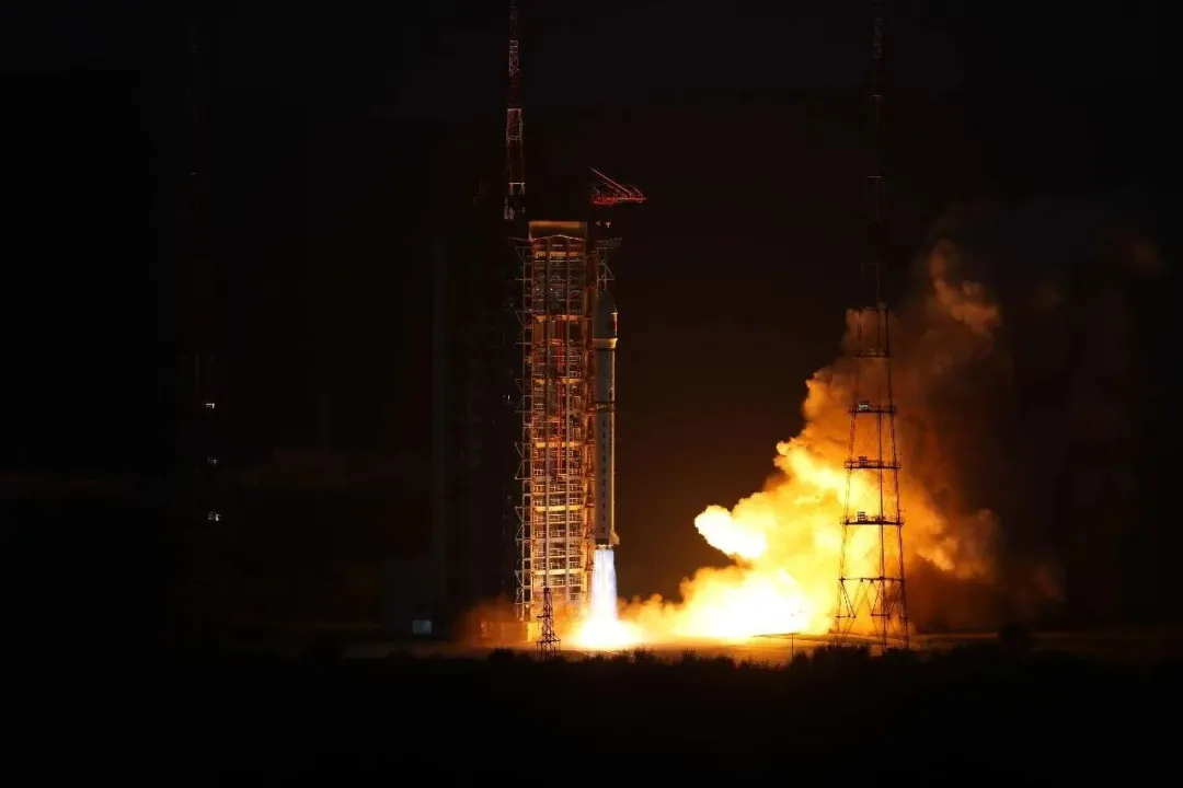
China Launches Four PIESAT-2 Radar Satellites With Onboard Data Processing
China launched four PIESAT-2 synthetic aperture radar satellites on September 19, expanding a commercial Earth-observation constellation designed for high-resolution, all-weather monitoring. A Long March 2D rocket lifted off from the Taiyuan Satellite Launch Center at 6:50 p.m. Beijing Time and placed the PIESAT-2 13–16 satellites into their planned orbits. The four satellites belong to Zhuzhou…
-
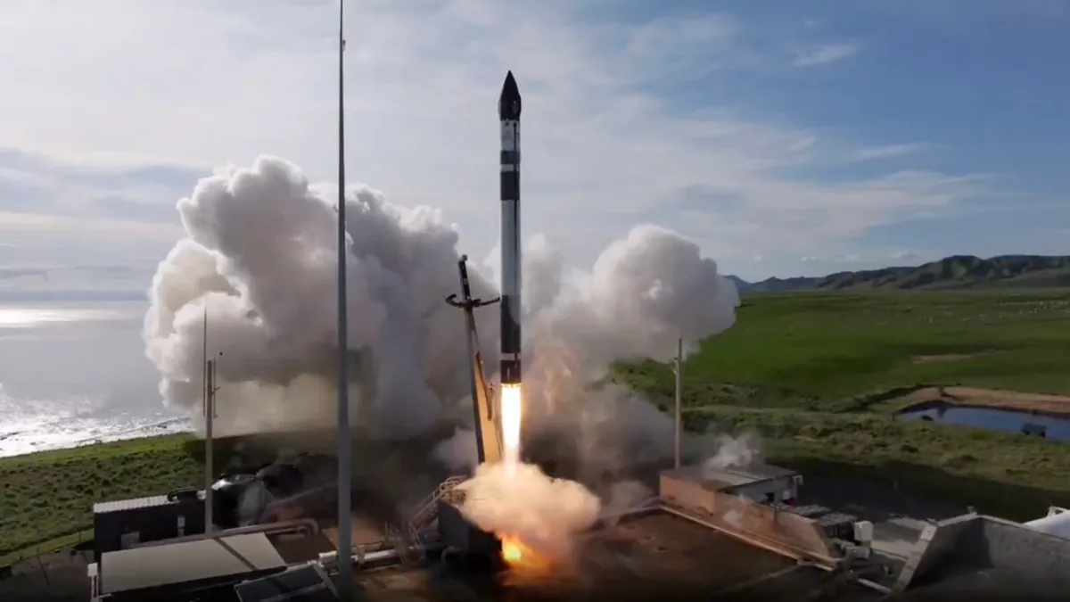
Rocket Lab Launches 12th StriX Radar Satellite for Synspective (Video)
An Electron rocket launched a synthetic aperture radar (SAR) spacecraft for the Tokyo-based company Synspective from Rocket Lab’s New Zealand site on Sept. 18, 2026 at 11:22 p.m. EDT (0322 GMT and 3:22 p.m. local time on Sept. 19). Credit: Rocket Lab Rocket Lab launched Synspective’s 12th StriX synthetic aperture radar satellite on September 19,…
-
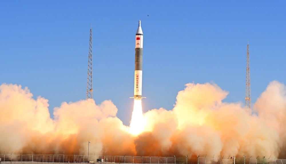
China Launches Tianyi-51 and Tianyi-52 Satellites on Kuaizhou-11 Rocket
At 10:40 a.m. Beijing time on September 17, 2026, China launched the Tianyi-51 and Tianyi-52 satellites aboard a Kuaizhou-11 Y3 rocket from the Jiuquan Satellite Launch Center. Both satellites entered their planned orbits, completing the mission successfully. The satellites form a commercial, mid-inclination interferometric synthetic aperture radar (InSAR) pair designed to monitor changes in the…
-

Satellite Data Reveals Hidden Patterns of War in Ukraine and Myanmar
Satellite observations can expose wartime destruction overlooked by conventional reporting and help researchers build more complete records of armed conflict, according to an international study published in Nature on September 9, 2026. The research combines satellite-derived damage assessments with media-based conflict data, using case studies from Ukraine and Myanmar to show how Earth observation can…
-
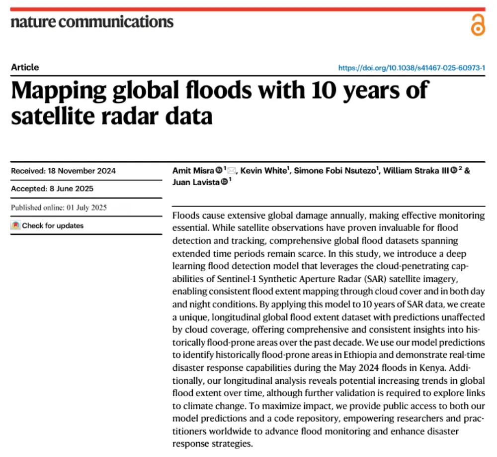
A Decade of Sentinel-1 Scanning the Globe: How Much Flooding Have We Been Missing?
Key takeaway: Several global flood datasets already exist, but their long-term records rely primarily on optical remote sensing from satellites such as MODIS and Landsat. Yet the most severe floods often occur under thick cloud cover. The real question this study seeks to answer is not “How can we detect floods one more time?” but…
-

NOAA Selects 14 Commercial Satellite Data Providers for Expanded Weather Contract
NOAA has selected 14 commercial satellite companies to compete for orders across seven environmental-observation categories under a new Space-Based Environmental Monitoring contract. Announced on September 10, 2026, the procurement expands NOAA’s use of privately operated constellations to support weather forecasting, climate monitoring, space-weather services and satellite orbit prediction. The indefinite-delivery, indefinite-quantity contract began its five-year…
-

Royal Group of Abu Dhabi Backs $1 Billion Expansion of Altair AI Imaging Constellation to 50 Satellites
Loft Orbital and UAE-based Marlan Space announced on September 9 a $1 billion commitment led by the Royal Group of Abu Dhabi to expand the Altair Earth observation constellation from 10 to 50 satellites. The spacecraft will combine optical and synthetic aperture radar imaging with onboard artificial intelligence, serving government and commercial customers in the…
-
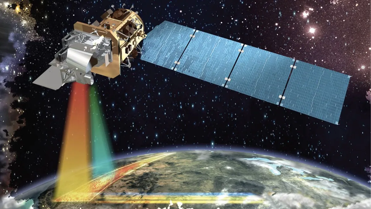
Private Satellites and AI Reshape Earth Observation as Security and Privacy Risks Grow
Commercial operators controlled 270 of the 472 Earth observation satellites identified by the U.S. Geological Survey in 2024, overtaking the 202 spacecraft operated by governments and accelerating a shift toward privately supplied imagery, analytics and geospatial intelligence. An OECD assessment published on February 10, 2026, said advances in sensors, cloud computing and artificial intelligence are…