
Tag: Vegetation Indices
-
What Can Satellite Imagery Actually Tell You About Crop Health?
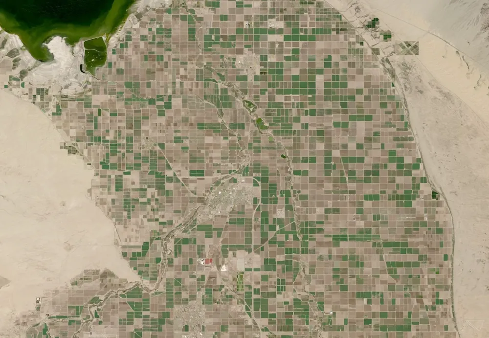
Satellite imagery can reveal where crop growth is uneven, how vegetation changes through the season, and which areas deserve closer inspection. It can also support estimates of canopy cover, biomass and water-related conditions. But a vegetation map does not, by itself, establish whether a crop is diseased, short of water or likely to produce a…