
Environment Solutions FAQs
-
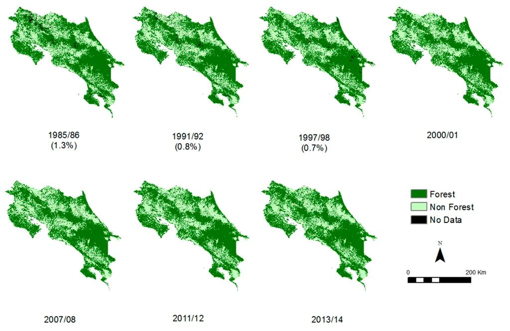
How to Check Historical Tree Cover Before Planting
Read more →: How to Check Historical Tree Cover Before PlantingChecking whether trees existed on a plot before planting requires more than searching a forest-loss map. A useful…
-
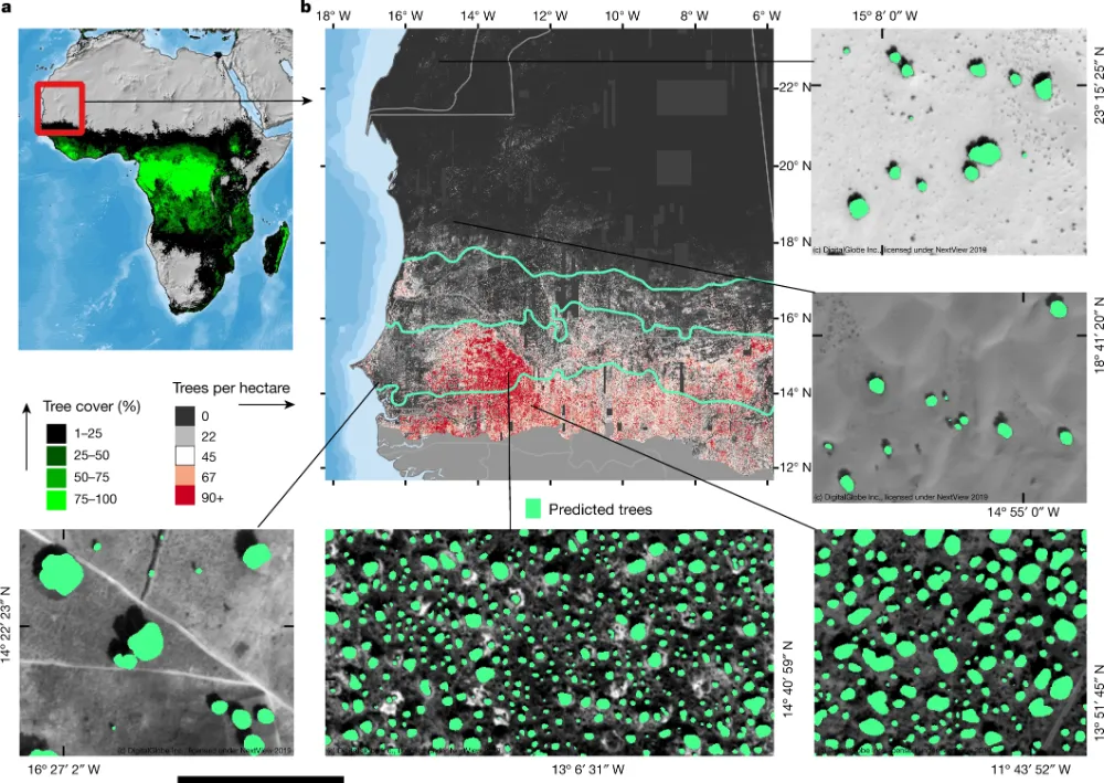
Can Satellite Imagery Count Individual Trees?
Read more →: Can Satellite Imagery Count Individual Trees?Satellite imagery can support individual tree counting when crowns are large enough, sufficiently separated and clearly visible. It…
-
Why Is China Going to Such Lengths to Send Computing Power into Space?
Read more →: Why Is China Going to Such Lengths to Send Computing Power into Space?China is working to give satellites an additional “brain” by combining artificial intelligence and onboard computing with traditional…
-
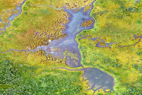
What environmental indicators can be derived from satellite analytics?
Read more →: What environmental indicators can be derived from satellite analytics?Satellite analytics can generate a wide range of environmental indicators that help organizations understand ecosystem conditions, monitor environmental…
-
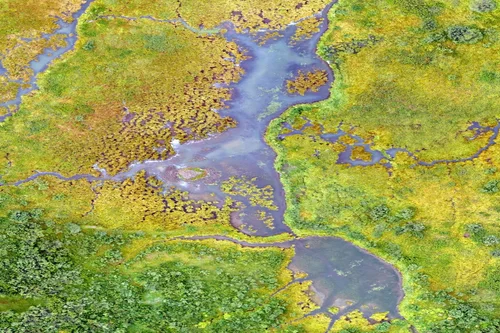
How is disaster impact assessed with Earth observation data?
Read more →: How is disaster impact assessed with Earth observation data?Earth observation data plays a crucial role in disaster impact assessment by providing rapid, objective, and large-scale information…
-
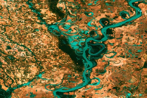
Can satellite imagery track pollution and environmental change?
Read more →: Can satellite imagery track pollution and environmental change?Yes, satellite imagery plays a vital role in tracking pollution and environmental change across terrestrial, freshwater, coastal, marine,…
-
How is deforestation monitored using satellite data?
Read more →: How is deforestation monitored using satellite data?Satellite data has become one of the most effective tools for monitoring deforestation and forest change at local,…