
Satellite Imagery FAQs
-
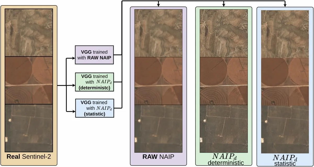
Can AI Super-Resolution Replace High-Resolution Satellite Imagery?
Read more →: Can AI Super-Resolution Replace High-Resolution Satellite Imagery?AI super-resolution can make satellite imagery look sharper and, in some validated workflows, improve the information extracted from…
-
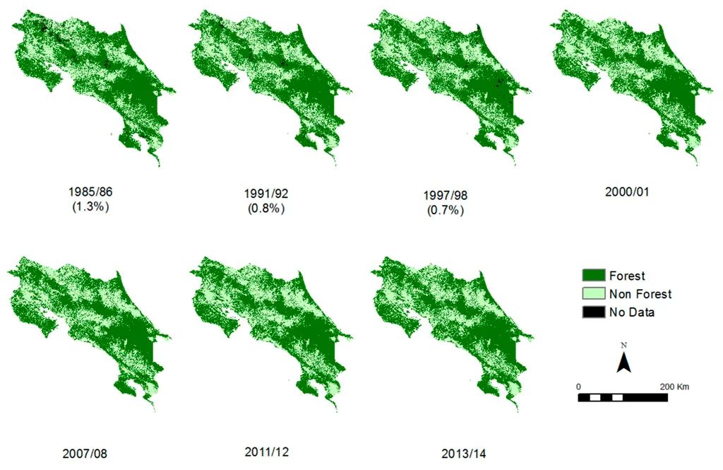
How to Check Historical Tree Cover Before Planting
Read more →: How to Check Historical Tree Cover Before PlantingChecking whether trees existed on a plot before planting requires more than searching a forest-loss map. A useful…
-
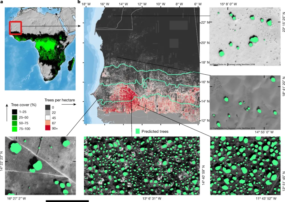
Can Satellite Imagery Count Individual Trees?
Read more →: Can Satellite Imagery Count Individual Trees?Satellite imagery can support individual tree counting when crowns are large enough, sufficiently separated and clearly visible. It…
-
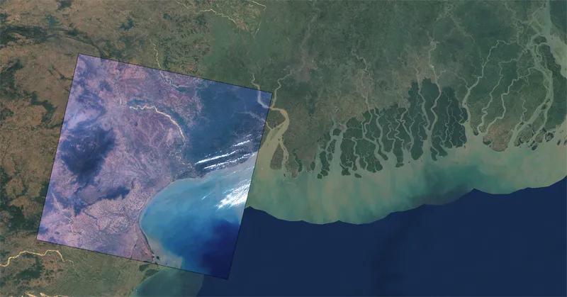
In which formats can satellite imagery be delivered?
Read more →: In which formats can satellite imagery be delivered?Satellite imagery can be delivered in a variety of formats designed to support different analytical workflows, software platforms,…
-
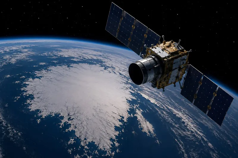
How often is satellite imagery updated or revisited?
Read more →: How often is satellite imagery updated or revisited?The frequency with which satellite imagery is updated depends on several factors, including satellite orbit design, constellation size,…
-
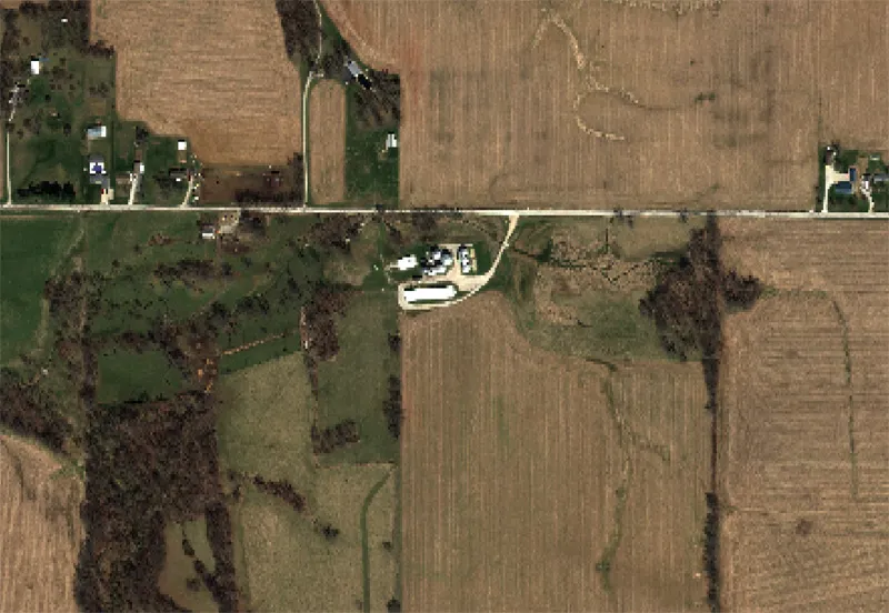
What is the difference between optical and SAR satellite imagery?
Read more →: What is the difference between optical and SAR satellite imagery?Optical and Synthetic Aperture Radar (SAR) imagery are two of the most widely used forms of satellite data,…
-
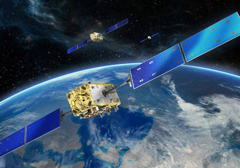
What resolution options are available for satellite imagery?
Read more →: What resolution options are available for satellite imagery?Satellite imagery is available in a wide range of spatial resolutions, allowing organizations to select data products that…