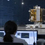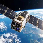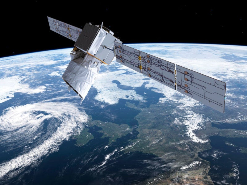
Aeolus, a European Space Agency (ESA) satellite, successfully launched from French Guiana on Aug. 22 after close to two decades of weather and engineering delays. The satellite will be the first to directly measure wind speed and direction.
Aeolus will deploy a wind-sensing lidar in space for the first time. The data will be used to improve weather and climate science in areas lacking wind measurements, including the tropics and over the oceans. Experts are anticipating improvements in Atlantic hurricane landfall predictions, and simulations suggest that the accuracy of typhoon path projects could by improved by 9 percent.
Read more at IEEE Spectrum>>