As robots, drones and AI become part of everyday energy operations, attention is increasingly turning to how these technologies work together. At ADIPEC 2026, taking place in Abu Dhabi from November 2 to 5, the challenge extends beyond what individual devices can detect: how can operators coordinate inspections across widely dispersed assets and bring the resulting information into operational decisions?
In his contributed article, Building a Data-Strong Foundation for Autonomous Energy Operations, Sebastien Grau, Vice President of Global Process Industries Sales at Rockwell Automation, discusses the pressure on energy companies to maintain production while strengthening resilience, improving efficiency and adapting to changing operating conditions. The value of autonomous operations, he argues, depends on how effectively multiple technologies work alongside the operational foundations that support them.
Grau identifies AI, software-defined automation, robotics and cybersecurity as four key technologies. He also stresses the importance of trusted data, system integration, process safety and industry experience. Moving from automation toward greater autonomy requires systems that can adapt to changing conditions within clearly defined operational, safety and cybersecurity boundaries.
Among the robotics solutions presented for this year’s exhibition, Rockwell Automation uses coordinated management across different platforms as a practical example. Its showcase combines Korial’s robot orchestration software with the Clearpath Husky A300 mobile robot and the Taurob V7 industrial inspection robot, demonstrating how different robots can be assigned tasks within a shared operating environment. The focus includes coordination between devices and the integration of robotic capabilities into broader operations.
This approach also extends to asset reliability, predictive maintenance and midstream pipeline operations. As more field devices become connected, Grau argues that system architecture, data management and cybersecurity need to develop together to support the gradual expansion of autonomous capabilities.
Korial’s own development reflects this direction. Formerly known as Energy Robotics, the company brings robots, drones, sensors and their data into a common platform, connecting field observations with task coordination and operational information. Its published Shell Rheinland case study describes a mixed inspection fleet combining ground robots and an aerial system, illustrating how the coordinated management of different devices is being applied in industrial inspections.

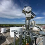
Image: A drone-in-a-box system featured in the Shell Rheinland inspection case study. Image courtesy of Shell. Source: Korial.
Hema Prapoo, Global Energy Industry Leader at Microsoft, places robots, drones and predictive systems within a wider operational context in her article, The Intelligent Oil and Gas Enterprise: Connecting AI from Reservoir to Market. She argues that facility conditions, maintenance needs and production constraints should inform decisions together, with observations feeding into the workflows people use to manage assets.
These perspectives point toward a shared direction for energy monitoring: select equipment according to the task, and make the results of one observation useful for the next inspection. For long-distance pipelines, dispersed oilfields and large facilities, that coordination can also extend to satellite observations covering a much wider area.
Define the Inspection Question Before Selecting the Equipment
Different observation systems serve different purposes in geospatial monitoring. Satellites provide a broad view of changes across an area. Drones add close-range imagery of selected locations. Fixed cameras and sensors support continued observation at specific points, while field personnel interpret findings alongside asset records and local conditions.
Along a pipeline corridor, for example, an operations team may first need to identify new access roads, construction sites or ground disturbance. Satellite imagery can help screen for these changes. Their location, proximity to the pipeline and relationship to known construction activity can then inform whether further investigation is needed.
Where the question concerns the extent of construction, machinery activity or details that require a closer view, operators can arrange a drone flight or a ground inspection. If construction is expected to continue, fixed video monitoring or repeat inspections may be appropriate, depending on site conditions.
Each observation method contributes evidence to a clearly defined question.
Turn Each Finding Into the Starting Point for the Next Task
Coordinated monitoring depends on organizing observations at different scales into a continuous inspection process.
If satellite imagery reveals new earthworks near a pipeline, for example, the change can be associated with the relevant pipeline segment and recorded for review. Personnel can check permits and previous inspection records before deciding whether a drone survey is needed. The verification results can then be added to the same event record to determine whether further tracking is necessary.
This requires clear task descriptions: which pipeline segment needs inspection, what conditions should be checked, which photographs or measurements are required, and who is responsible for confirming completion.
With that structure, field teams can work from an existing lead and return evidence that answers the original question. It also helps reduce duplicate data collection and gaps between detection, verification and follow-up.
Schedule Observations Around Risk and Field Conditions
Inspection arrangements should reflect the characteristics of each asset and location. Areas with active construction, previous anomalies or difficult site access may require different combinations of satellite screening, drone inspections and ground observations.
Scheduling must also account for practical constraints. Satellite observations depend on acquisition opportunities and the selected sensor. Drone missions depend on flight conditions and site arrangements. Fixed equipment is limited by its installation position, field of view and maintenance condition.
An observation plan should make these conditions explicit and provide an alternative inspection method when a planned task cannot be completed.
The effectiveness of coordination should therefore be assessed through operational outcomes: how well priority areas are covered, whether verification is completed in time, and whether events receive appropriate follow-up. Equipment numbers and data collection volumes provide only part of the picture.
Keep Results From Different Sources in a Shared Asset Record
Satellite imagery, drone surveys and ground observations differ in spatial scale, collection time and content. To make the results easier to compare, projects need consistent asset locations, event identifiers and task status records, while preserving the source and acquisition time of each observation.
For recurring changes, teams should also be able to review earlier inspection findings and subsequent developments. This helps operators distinguish new events from ongoing conditions and completed actions, then adjust the next round of monitoring accordingly.
Through its oil, gas and energy infrastructure monitoring solutions, STARPATH GLOBAL coordinates satellite, drone and ground observation resources around the needs of pipelines, oilfields and power infrastructure. Projects can begin with asset distribution and specific inspection questions, establishing how broad-area screening, targeted verification and continued tracking should work together. Results can then be delivered in formats suited to the customer’s existing GIS or asset management workflows.
From robot orchestration to coordinated satellite, aerial and ground observations, the shared objective is to connect monitoring resources around a defined task. Equipment gathers information where it is most useful, personnel assess the evidence, and inspection findings inform the next plan—making monitoring a sustained part of asset operations.
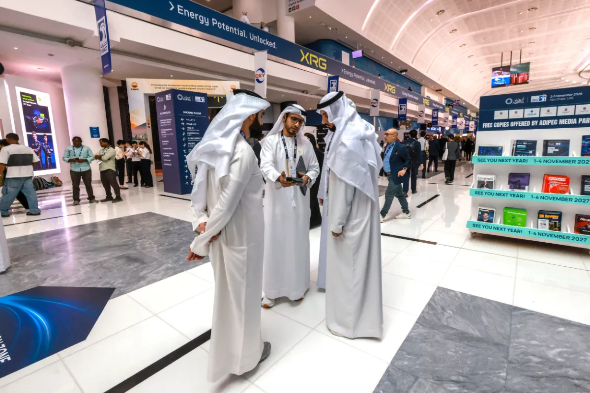
Featured image: Delegates at ADIPEC 2026 in Abu Dhabi. Photo: Victor Besa / The National.