
Tag: Satellite Monitoring
-
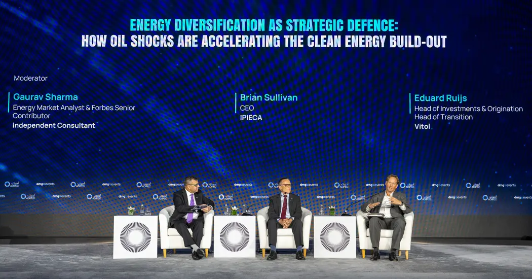
ADIPEC 2026: Monitoring Methane as Oil and Gas Supply Expands
As governments and operators consider how to meet rising demand for reliable, affordable energy, Ipieca CEO Brian Sullivan used his ADIPEC 2026 article Energy Addition and Climate Realism: Governing Supply Growth, Resilience and Emissions to ask how that growth should be managed. Population growth, urbanization, industrial development, and digitalization are increasing demand. At the same…
-

ADIPEC 2026: What Makes a Satellite Monitoring Pilot Ready to Scale?
At ADIPEC 2026 in Abu Dhabi, Weatherford President and CEO Girish K. Saligram said some oilfield service tasks that once required four to eight people are now performed autonomously. Siemens President and CEO Roland Busch argued that extending such gains across industrial operations requires companies to rethink how work gets done. In a separate panel,…
-

ADIPEC 2026: How Do You Upgrade an Oil and Gas Facility While It’s Still Running?
An oil or gas facility can have room to produce more even when there is little room to build. In his ADIPEC 2026 article Brownfield Modernisation: Unlocking the Next Era of Middle East Energy, Technip Energies’ Dominique Gadelle argued that some of the region’s most attractive opportunities lie in assets that have already been operating…
-

ADIPEC 2026: Can Power Grids Keep Up With Renewable Growth?
Francesco La Camera, Director-General of the International Renewable Energy Agency (IRENA), told ADIPEC 2026 that infrastructure has become the main bottleneck for renewable power. Adding solar and wind capacity is only part of the job. Electricity still needs to move from where it is generated to where it is needed, through networks that can balance…
-

ADIPEC 2026: How AIQ Would Investigate a Pipeline Pressure Drop
When pressure drops between two points on a pipeline, an operator has a section to investigate and a decision to make about sending someone into the field. At ADIPEC 2026 in Abu Dhabi, AIQ Chief Executive Officer Dennis Jol used that scenario to show how pressure readings, cameras, drones, and field crews could work together…
-

ADIPEC 2026: ADNOC Gas Eyes Northern Emirates Supply. How Can Operators Manage Pipeline Corridor Risks as Networks Expand?
At ADIPEC 2026 in Abu Dhabi, ADNOC Gas CEO Fatema Mohamed Al Nuaimi said gas buyers are looking for more flexibility in how they secure supply. Long-term contracts remain an important part of that strategy, but buyers also want a wider choice of suppliers, contract lengths, and pricing mechanisms so they can adjust when demand…
-
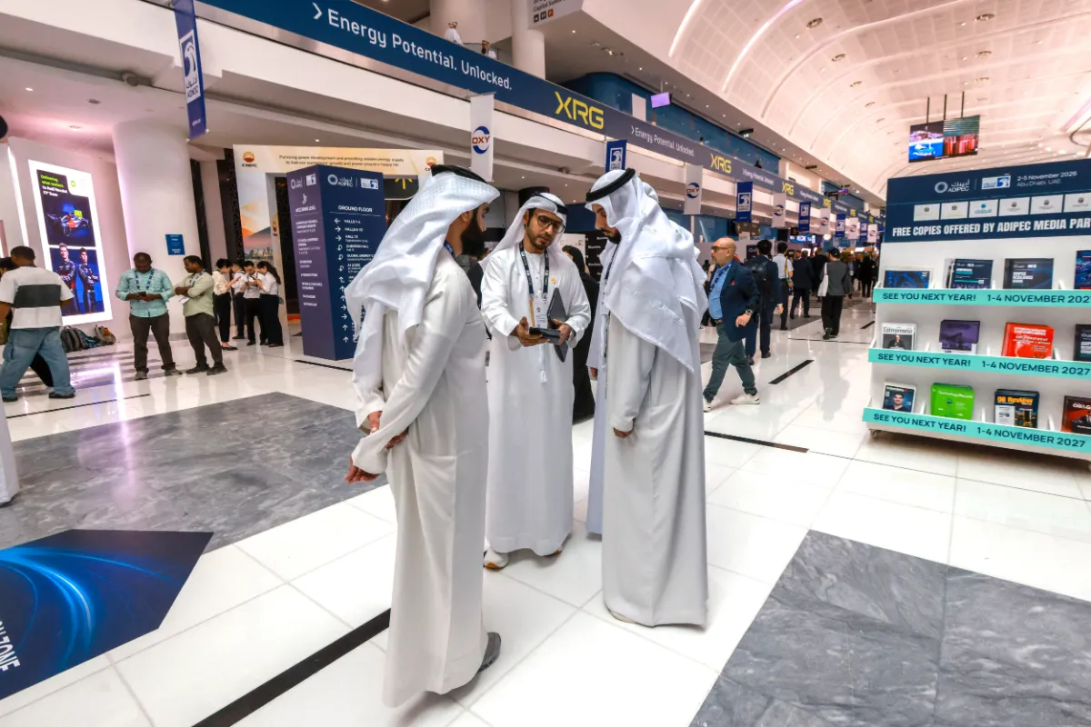
ADIPEC 2026 Highlights Coordinated Inspections: Connecting Satellites, Drones and Ground Systems
As robots, drones and AI become part of everyday energy operations, attention is increasingly turning to how these technologies work together. At ADIPEC 2026, taking place in Abu Dhabi from November 2 to 5, the challenge extends beyond what individual devices can detect: how can operators coordinate inspections across widely dispersed assets and bring the…
-
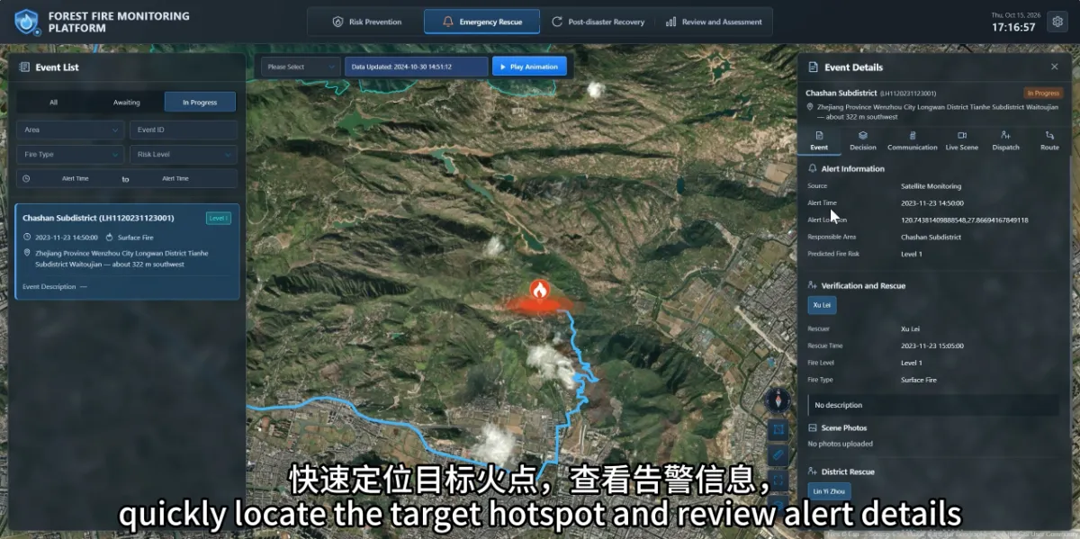
What Should Duty Staff Do First After Receiving a Satellite Wildfire Alert?
Start by checking the alert’s location, time and responsible management area, then arrange verification under established fire management procedures. A satellite alert identifies a suspected anomaly that still needs to be assessed alongside field conditions. An alert becomes useful when it reaches the right people promptly and its verification results and subsequent actions remain traceable.…
-
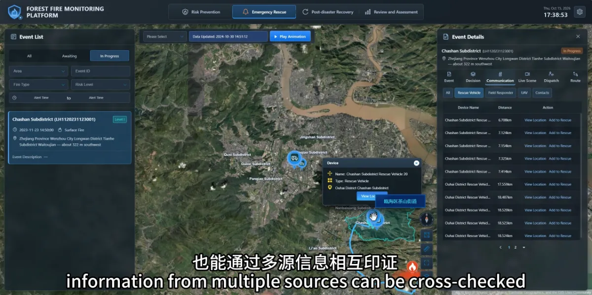
How Can Teams Verify a Potential Wildfire When Clouds or Fog Affect Satellite Observations?
When clouds or fog affect satellite observations, teams can use ground cameras, drones and field reports to continue verification. Information from different sources helps fill gaps that may arise when relying on a single observation method. For forestry staff, the practical questions are: What reliable information is currently available? What remains unknown? How can the…
-
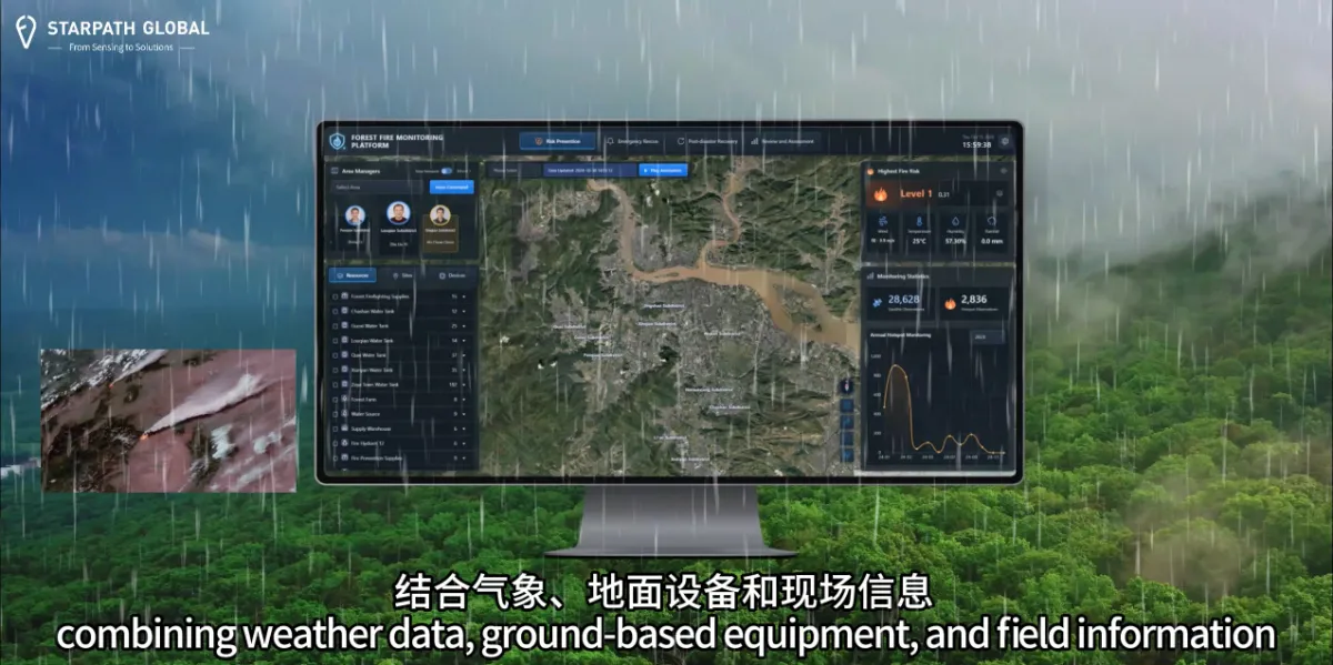
Why Do We Need Satellite Wildfire Monitoring If We Already Have Forest Rangers and Cameras?
Satellite monitoring helps forestry teams cover larger areas and focus patrols and ground monitoring where they are needed most. Across extensive forests and complex terrain, an additional way to identify unusual activity provides another opportunity to investigate potential fires sooner. Forest rangers understand local conditions and can assess situations on site. Cameras provide ongoing observation…