
FAQs
-
How to Check Satellite Imagery Quality Before Accepting Delivery
Read more →: How to Check Satellite Imagery Quality Before Accepting DeliveryA satellite image can look sharp and still be unsuitable for your project. A cloud may cover the…
-
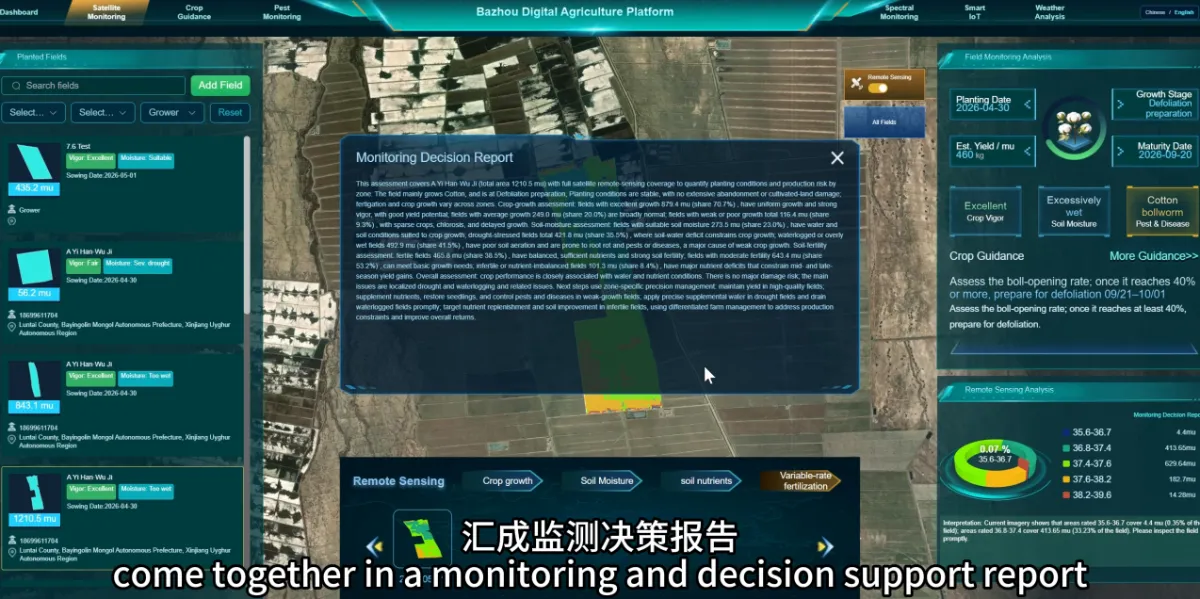
Can Farmers Use the Agricultural Monitoring Platform Without Remote Sensing Expertise?
Read more →: Can Farmers Use the Agricultural Monitoring Platform Without Remote Sensing Expertise?Yes. Everyday use focuses on finding fields, reviewing changes and understanding management priorities. Users do not need to…
-
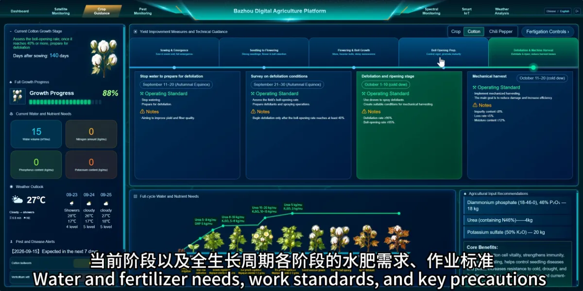
How Can the Platform Help Plan Farming Activities from Planting to Harvest?
Read more →: How Can the Platform Help Plan Farming Activities from Planting to Harvest?The platform organises guidance around crop growth stages, helping farmers review current tasks and prepare for the next…
-
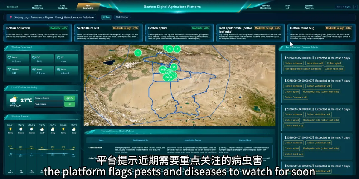
Can an Agricultural Monitoring Platform Help Identify Pest and Disease Risks Before They Become More Serious?
Read more →: Can an Agricultural Monitoring Platform Help Identify Pest and Disease Risks Before They Become More Serious?The platform can help farmers identify pests and diseases that deserve closer attention, supporting earlier and more targeted…
-
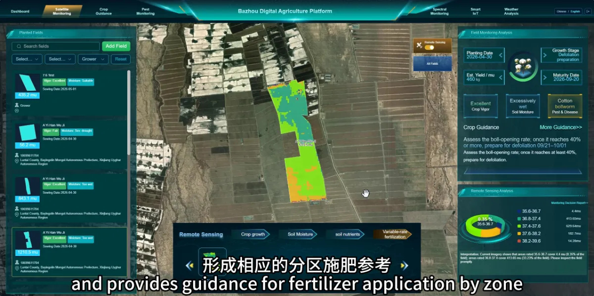
Why Consider Different Fertilizer Applications Within the Same Field?
Read more →: Why Consider Different Fertilizer Applications Within the Same Field?Different parts of a field may have different nutrient conditions and crop needs. Reviewing these differences can help…
-
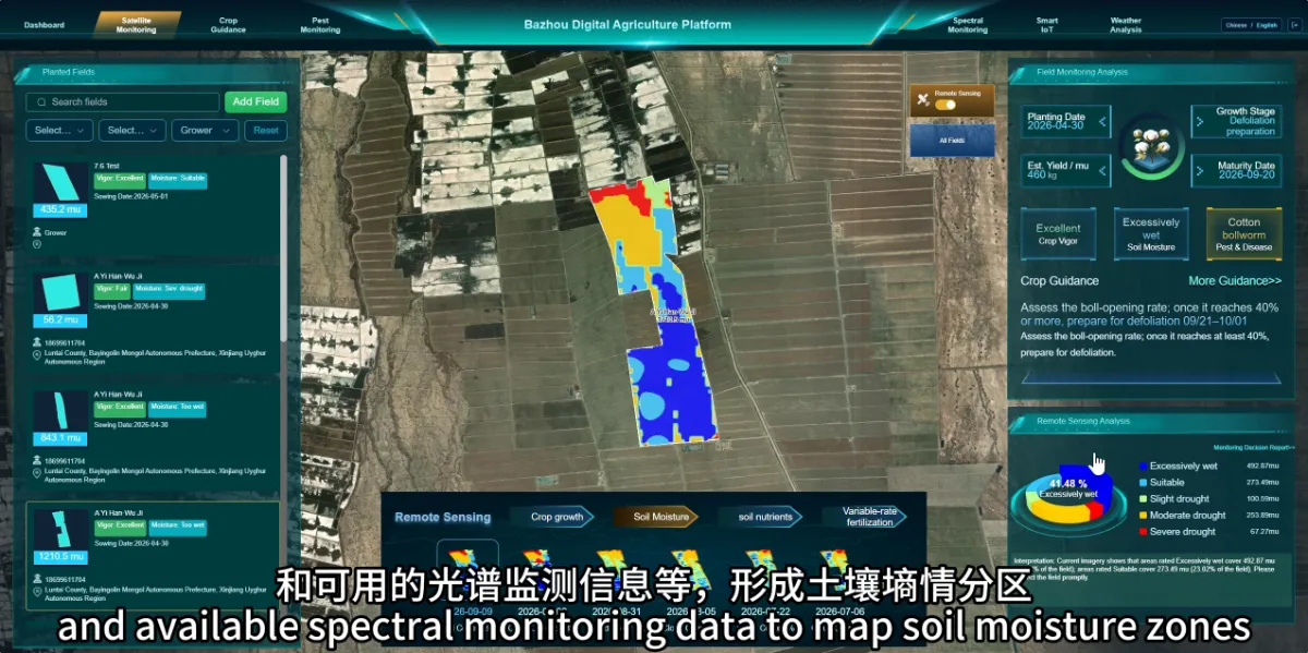
How Can Satellite Agricultural Monitoring Help Identify Areas That May Need Irrigation or Drainage?
Read more →: How Can Satellite Agricultural Monitoring Help Identify Areas That May Need Irrigation or Drainage?Monitoring can help identify areas where water conditions deserve closer investigation. This gives farmers a more focused starting…
-
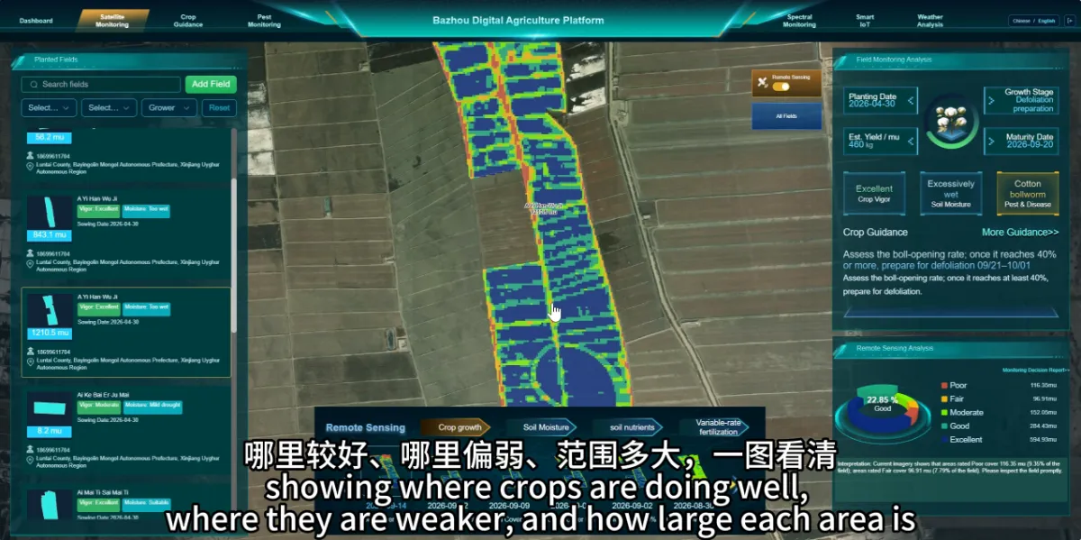
Can Satellite Monitoring Show Which Parts of a Field Are Growing Well and Which Need Attention?
Read more →: Can Satellite Monitoring Show Which Parts of a Field Are Growing Well and Which Need Attention?Satellite monitoring can help reveal differences in crop condition within the same field. Growth maps make these differences…
-
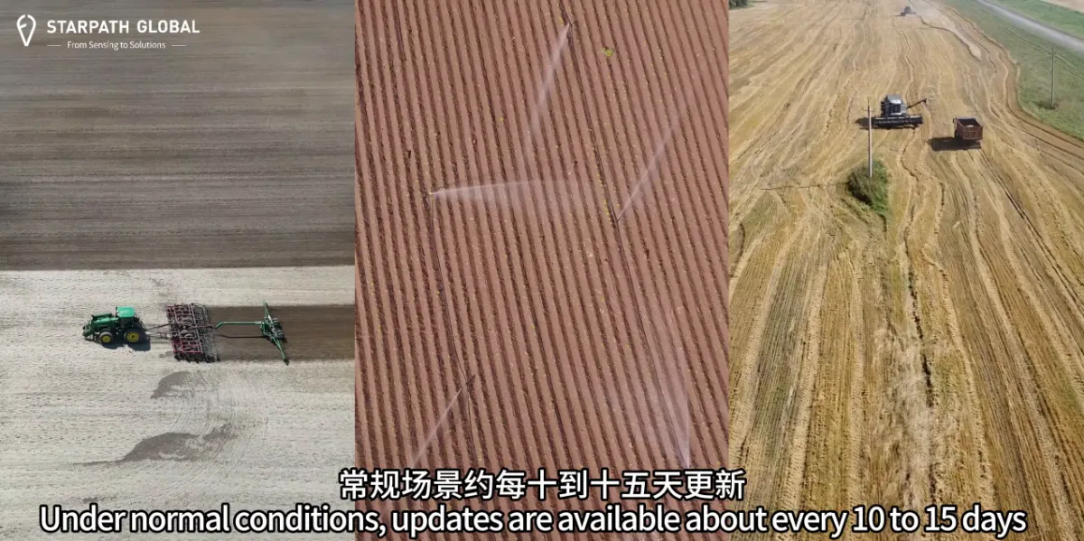
How Often Can Satellites Monitor Farmland, and Can Updates Support Critical Farming Operations?
Read more →: How Often Can Satellites Monitor Farmland, and Can Updates Support Critical Farming Operations?Monitoring frequency should match the crop, growth stage and management decisions involved. Routine crop monitoring and checks during…
-
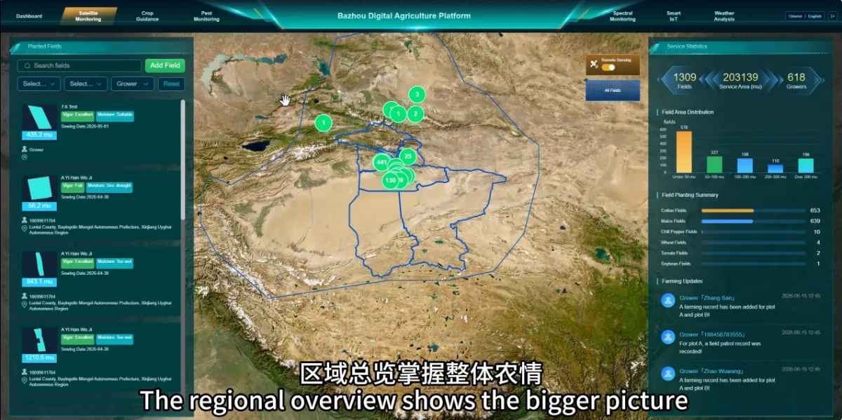
Why Do We Need Satellite Agricultural Monitoring If We Already Inspect Our Fields?
Read more →: Why Do We Need Satellite Agricultural Monitoring If We Already Inspect Our Fields?Satellite monitoring helps farmers see differences across their land and decide where field inspections should focus. It provides…
-
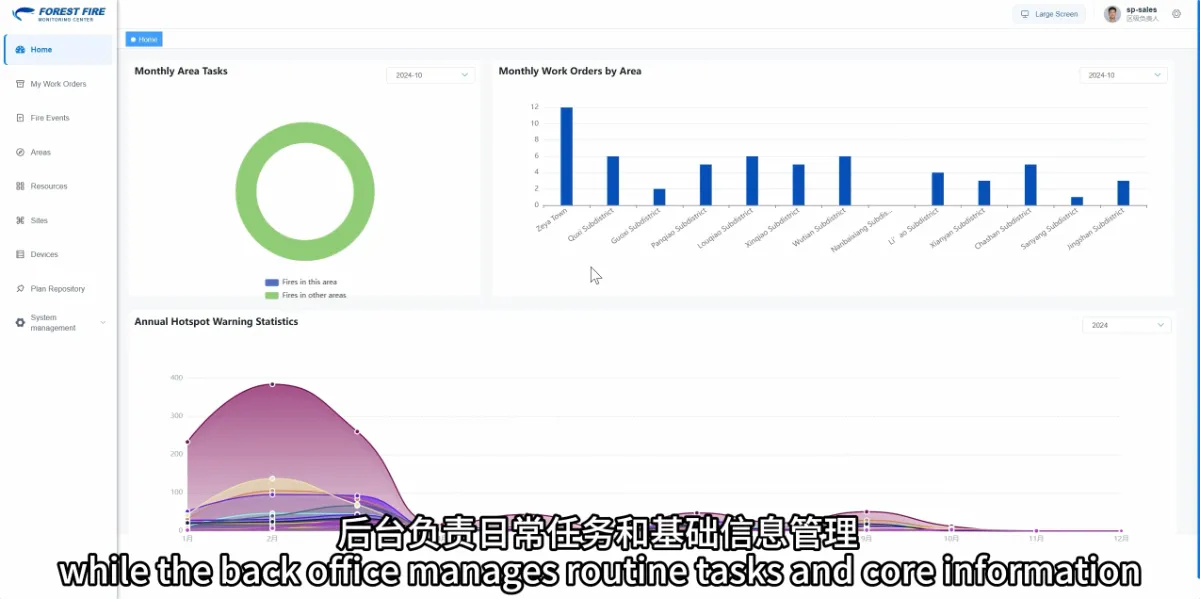
Can Forestry Staff Use a Wildfire Monitoring Platform Without Remote Sensing Expertise?
Read more →: Can Forestry Staff Use a Wildfire Monitoring Platform Without Remote Sensing Expertise?Yes. Forestry users mainly need to know how to review risk information, understand alerts, follow up on tasks…
-
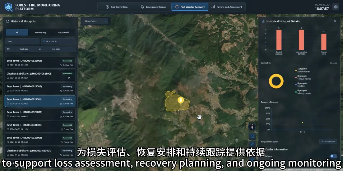
How Can the Monitoring Platform Help After a Wildfire Has Been Extinguished?
Read more →: How Can the Monitoring Platform Help After a Wildfire Has Been Extinguished?After a fire is extinguished, the platform can still support damage information management, recovery tracking and incident review.…
-
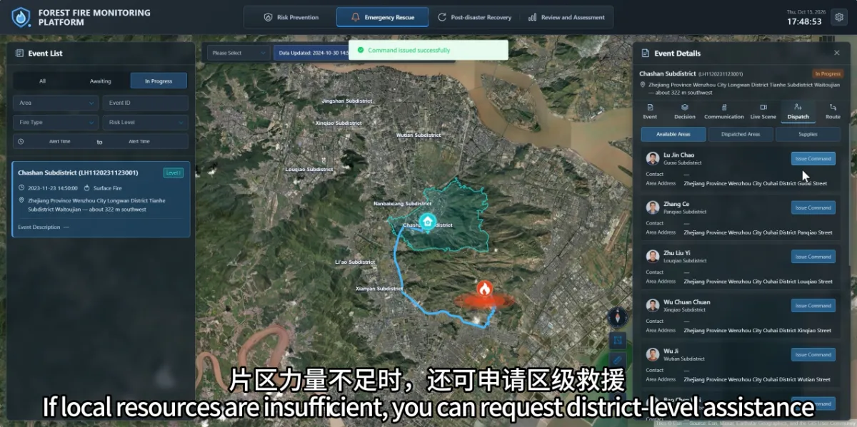
How Can the Platform Help Coordinate People and Supplies After a Wildfire Is Confirmed?
Read more →: How Can the Platform Help Coordinate People and Supplies After a Wildfire Is Confirmed?The platform brings together the fire location, area responsibilities, nearby teams and resource information, helping commanders understand what…