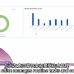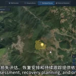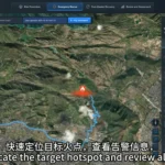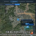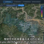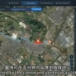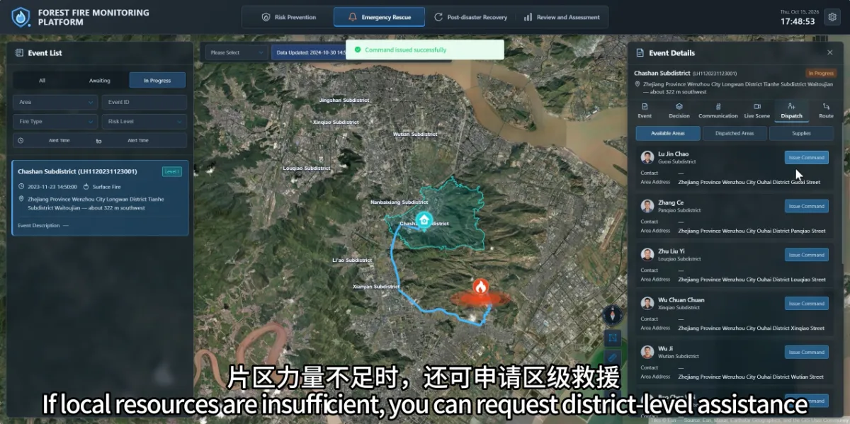
The platform brings together the fire location, area responsibilities, nearby teams and resource information, helping commanders understand what support may be available. After locating a fire, teams need to establish who should respond, which resources are required and how additional assistance can be coordinated.
When this information is spread across phone records, paper lists and separate systems, staff may need to search for each item individually. A shared view can save time during assessment and coordination.
How can teams identify resources near the fire?
The STARPATH GLOBAL wildfire monitoring platform links management areas with responsible managers and teams. It also supports access to information about personnel, equipment, supplies and water sources.
Once a response is required, commanders can review nearby resources in relation to the fire location and incident conditions, contact the relevant teams and arrange support as needed.
Map locations help explain resource distribution. Actual availability and arrival times still need to be confirmed against staffing, supply status and field reports.
What information matters beyond resources?
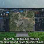
The platform combines weather, terrain, fire spread trends and nearby site information to support assessment.
This helps staff identify residential areas, schools, factories and other locations around the fire, and consider response priorities alongside existing plans. Ground monitoring, drone observations and field reports provide further context.
Timely updates give commanders a clearer understanding of both conditions at the scene and the resources available to respond.
How can teams request additional support?
The platform supports requests for district-level assistance, helping connect local response activities with wider resource coordination. Response routes can also support planning for personnel and vehicle access to the forest.
Route information assists access planning. Field teams still need to confirm road conditions, fire conditions and other relevant factors; a route displayed on a map alone does not establish that travel is safe.
The platform helps teams use the time gained through monitoring to verify conditions, contact resources and coordinate action, improving continuity between detection and response.