
Tag: geospatial intelligence
-
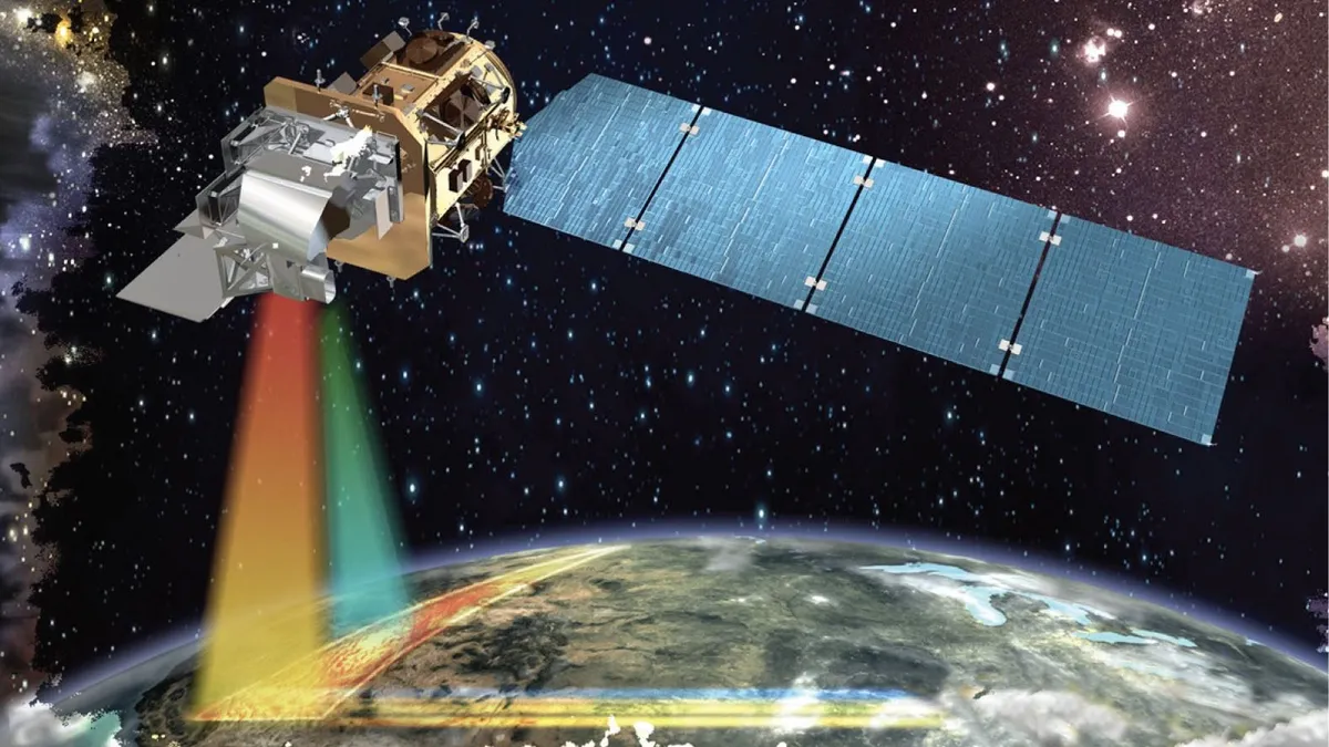
Private Satellites and AI Reshape Earth Observation as Security and Privacy Risks Grow
Commercial operators controlled 270 of the 472 Earth observation satellites identified by the U.S. Geological Survey in 2024, overtaking the 202 spacecraft operated by governments and accelerating a shift toward privately supplied imagery, analytics and geospatial intelligence. An OECD assessment published on February 10, 2026, said advances in sensors, cloud computing and artificial intelligence are…
-

Planet Posts Record $116 Million Quarter as Sovereign Satellite Services Accelerate Growth
Planet Labs reported record quarterly revenue of $116.1 million for the second quarter of fiscal 2027, as the handover of a reconnaissance satellite to the Swedish Armed Forces and expanding defense demand lifted revenue 58% year over year. The Earth observation company announced the results on September 3 for the three months ended July 31,…
-

Closing the Last Mile of Earth Observation: How FDEs Turn Geospatial Intelligence into Business Outcomes
“We want to identify risks earlier.” For a mining company managing multiple tailings facilities, this is a natural business objective: regularly acquire satellite imagery, detect changes in the facilities and their surrounding environments, assess potential risk signals, and issue alerts when anomalies may require further attention. From a technical perspective, this may not seem particularly…
-

China–Nepal Border Flood: How Satellite Intelligence Supports Disaster Response When Roads and Communications Fail
Information current as of August 28, 2026. The disaster mechanism, casualty figures, and damage estimates remain subject to revision as field investigations continue. On August 26, 2026, a devastating flood and debris-flow disaster struck the Himalayan region along the border between China’s Xizang Autonomous Region and Nepal. Fast-moving floodwater, sediment, and boulders swept through narrow…
-

STARPATH GLOBAL Showcases Space and Geospatial Intelligence Capabilities at Xinjiang Aerospace and Defense Technology Expo, Exploring New Opportunities for Global Commercial Space Cooperation
Urumqi, Xinjiang, China — The 2026 Xinjiang New Quality Productive Forces and Aerospace & Defense Technology Equipment Expo was held from August 21 to 23, 2026, at the Xinjiang International Convention and Exhibition Center. Under the theme “Empowering Aerospace with New Quality Productive Forces and Strengthening National Defense through Technological Innovation,” the expo focused on…
-

China’s New Space Contest Will Be Fought With Commercial Satellites
Over the past decade, the commercial space industry has transformed satellites from assets reserved for national-level missions into industrial products that can be mass-produced and deployed on demand. As thousands of low-Earth-orbit broadband, remote-sensing and navigation satellites form constellations, space is taking on the characteristics of infrastructure for the first time—continuously providing connectivity, observation and…
-

What utility infrastructure can be tracked using geospatial intelligence?
Geospatial intelligence provides utilities with a powerful framework for tracking, mapping, and managing a wide range of infrastructure assets. By combining satellite imagery, remote sensing technologies, GIS platforms, and advanced analytics, utility operators can maintain visibility across extensive networks while improving operational efficiency and decision-making. Electric power infrastructure is among the most commonly monitored asset…
-
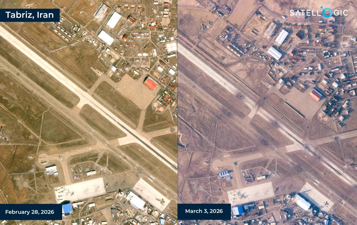
Satellogic and SynMax Partner to Develop AI-Powered Geospatial Intelligence Solutions
Satellogic and SynMax have announced a strategic collaboration to develop geospatial intelligence products that combine satellite imagery with artificial intelligence-driven analytics for defense, intelligence, and security customers. The partnership brings together Satellogic’s Earth observation infrastructure and SynMax’s AI-based intelligence platform, with the companies aiming to deliver persistent monitoring and analysis capabilities across a range of…
-

Loft Orbital and NASA JPL Partner to Demonstrate AI Software in Orbit
Loft Orbital has entered into an agreement with NASA’s Jet Propulsion Laboratory (JPL) to host and operate artificial intelligence software demonstrations in orbit as part of a NASA-funded Earth science technology program. The collaboration supports the Federated Autonomous MEasurement (FAME) project, which is funded by NASA’s Earth Science Technology Office (ESTO) and focuses on advancing…
-

Planet Labs Secures Expanded NGA Contract for AI-Enabled Maritime Intelligence Services
Planet Labs has received a $22 million contract option from the U.S. National Geospatial-Intelligence Agency (NGA) to continue providing artificial intelligence-enabled geospatial analytics for military and government users. The award expands work that began under a $13 million contract issued last year through the NGA’s Luno B program, which uses unclassified commercial imagery and analytics…