
Author: starpathwp-zyj
-
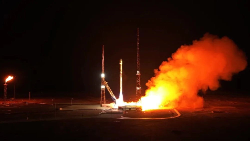
Zhuque 2E Launches 10 Satellites on Zhuque 2 Series’ 10th Flight (Video)
LandSpace launched its Zhuque-2E Y4 rocket from the Dongfeng Commercial Space Innovation Pilot Zone at the Jiuquan Satellite Launch Center at 11:40 UTC on October 14, 2026, deploying 10 satellites into their planned orbits. The rideshare mission carried eight ADA Space computing satellites and two laser data-transmission test satellites, marking the 10th flight of the…
-
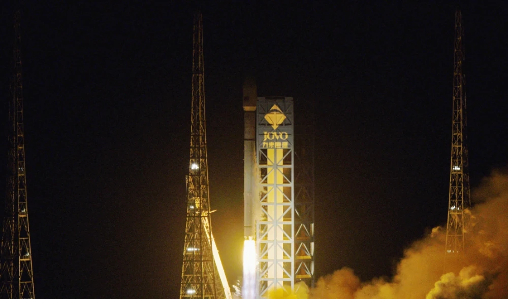
Long March 12 Launches China’s 27th LEO Internet Satellite Group
At 3:27 a.m. on October 10, 2026, China successfully launched the 27th group of low-Earth orbit internet satellites aboard a Long March 12 carrier rocket from the Hainan Commercial Space Launch Site. The satellites entered their designated orbit, continuing the phased deployment of China’s satellite internet system and marking the 671st mission of the Long…
-

China’s Satellite Internet System Enables First Arctic-to-Antarctic Video Call
China used its domestically developed GW satellite internet system to complete its first real-time video call spanning the Arctic and Antarctica on September 25 during the country’s 16th Arctic Ocean scientific expedition. The call connected the research vessels Xuelong, Jidi and Tansuo-3 with China’s Qinling Station in Antarctica, with reported video delay of no more…
-
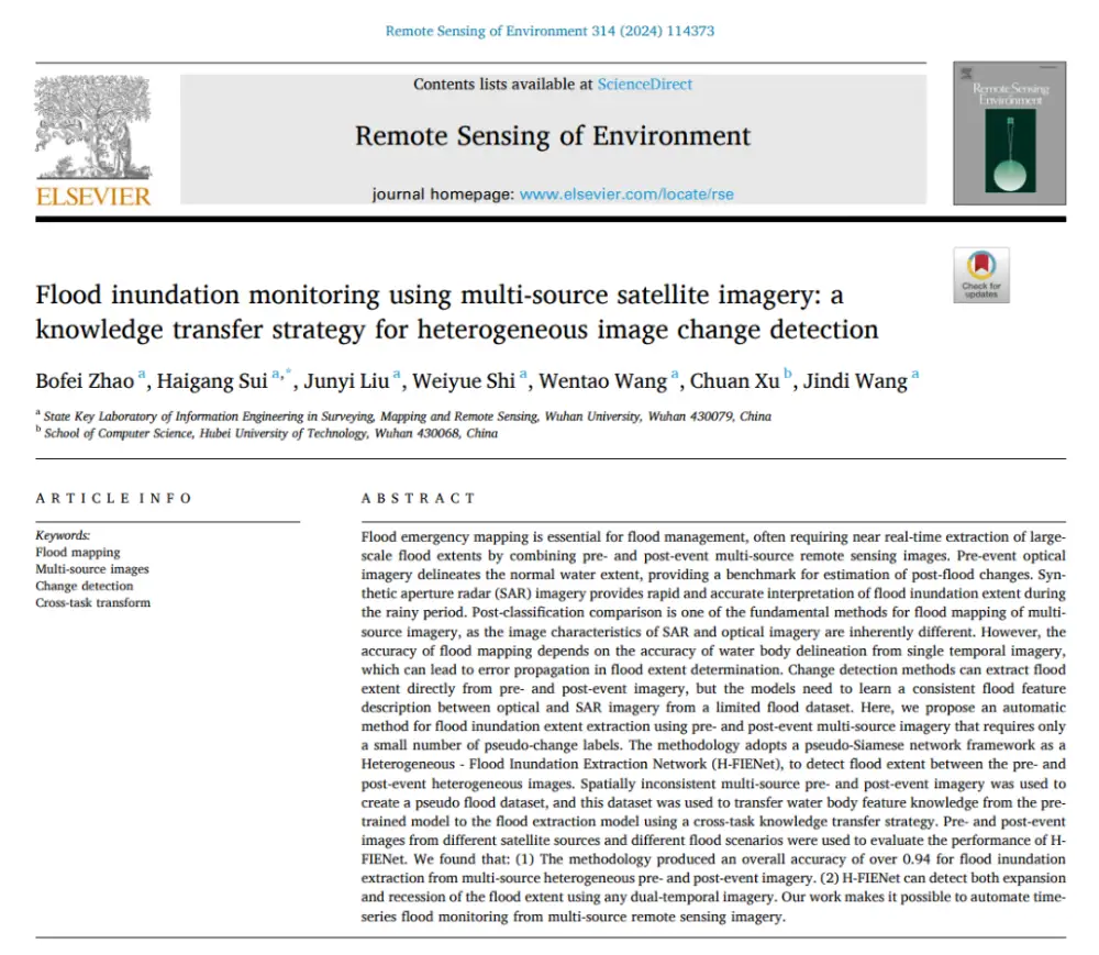
How AI Detects Flood Changes Across Optical and SAR Images With Few Training Pairs
In brief: Instead of separately mapping water in pre- and post-flood images and then overlaying the results, the method first maps water features from optical and SAR imagery into a more consistent semantic space, then directly identifies where water conditions have changed. More importantly, it does not require large numbers of real flood-change labels: it…
-
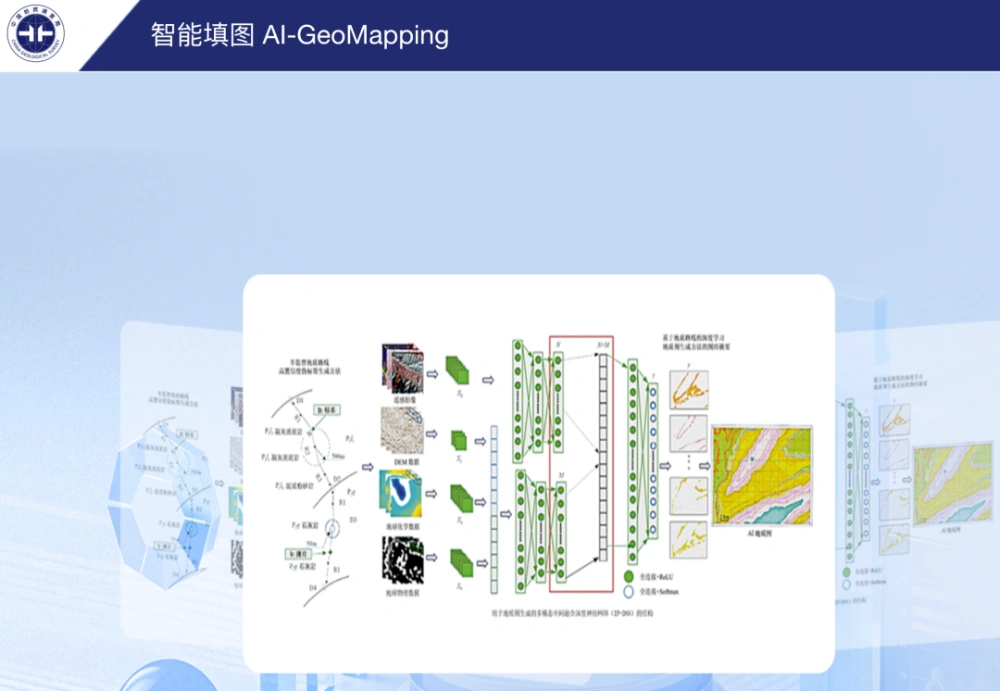
China’s AI-GeoMapping System Guides 400-Square-Kilometer Gobi Survey
China’s AI-GeoMapping system has guided 400 square kilometers of 1:50,000-scale regional geological mapping in northern Alxa, Inner Mongolia, where fused remote-sensing, aeromagnetic and geochemical data helped field teams identify concealed intrusions, faults beneath sediment cover and new mineral-prospecting clues. The Hohhot Natural Resources Comprehensive Survey Center of the China Geological Survey reported on Sept. 24…
-
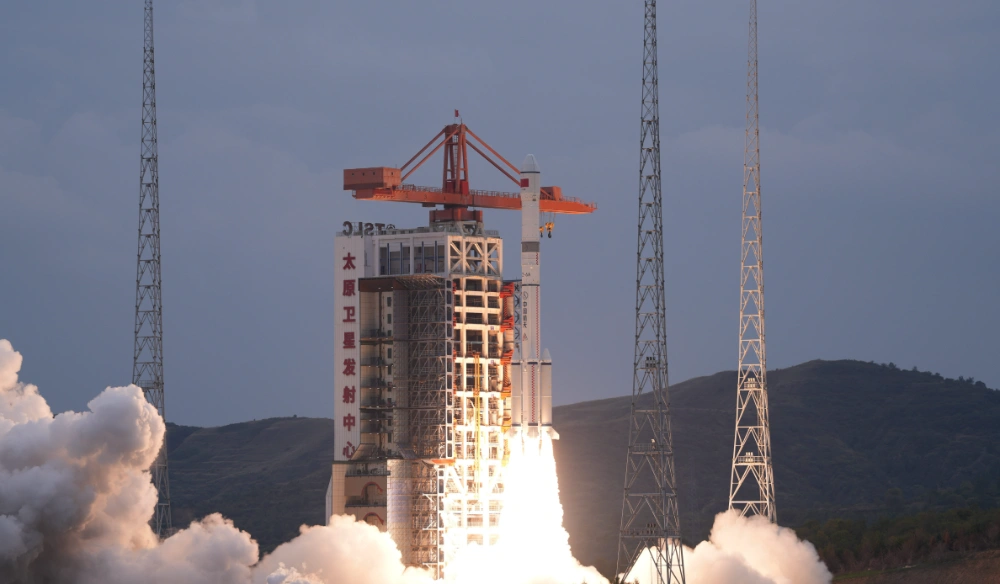
China Successfully Launches Remote-Sensing Satellite 40 Group 04 on Long March 6A Rocket
China launched the Remote-Sensing Satellite No. 40 Group 04 at 4:46 p.m. Beijing Time on September 24, 2026, using a Long March 6A rocket from the Taiyuan Satellite Launch Center. The satellites entered their planned orbit and will primarily conduct electromagnetic environment detection and related technology experiments. Chinese authorities did not disclose the number of…
-

China Sets 2030 Targets for Next-Generation Communications and Low-Earth-Orbit Satellite Internet
China will accelerate construction of low-Earth-orbit satellite internet systems and integrate satellite networks more closely with terrestrial communications infrastructure under its 15th Five-Year Plan, including the development of direct-to-device satellite services and satellite Internet of Things applications. The space-based network will form part of a wider program to establish a high-performance national communications system by…
-
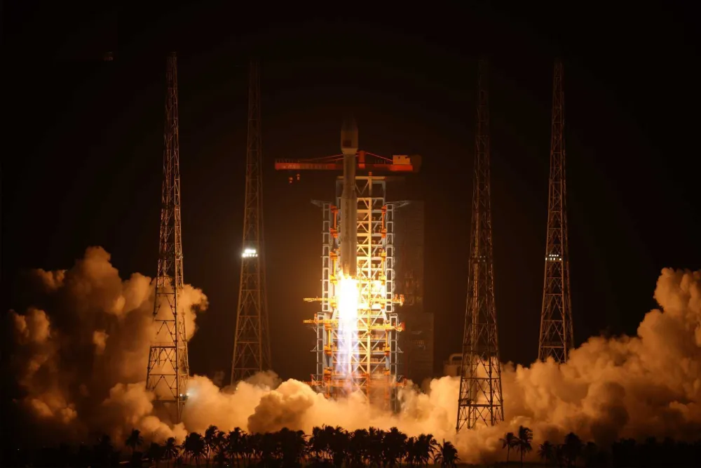
China Launches Satellite Internet LEO Group 26 on Long March 8A (Video)
China launched its 26th group of low-Earth-orbit satellite internet spacecraft aboard a Long March 8A rocket at 9:32 p.m. Beijing time on September 23, 2026. The rocket lifted off from the Hainan Commercial Space Launch Site and successfully placed the satellites into their designated orbit, continuing the country’s accelerated deployment of space-based broadband infrastructure. The…
-
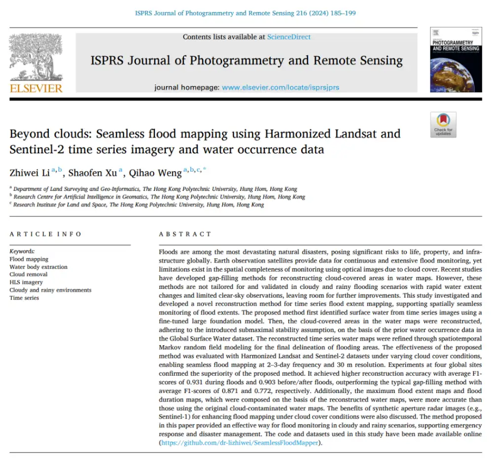
Can Optical Satellites Keep Tracking Floods When Clouds Block the View?
In brief: Landsat and Sentinel-2 can capture flood details well, but they are most vulnerable to the very condition that often accompanies major flooding: cloud cover. Rather than trying to generate a visually plausible cloud-free optical image, this study directly reconstructs whether the surface beneath the clouds is water or non-water. The researchers combined Harmonized…
-
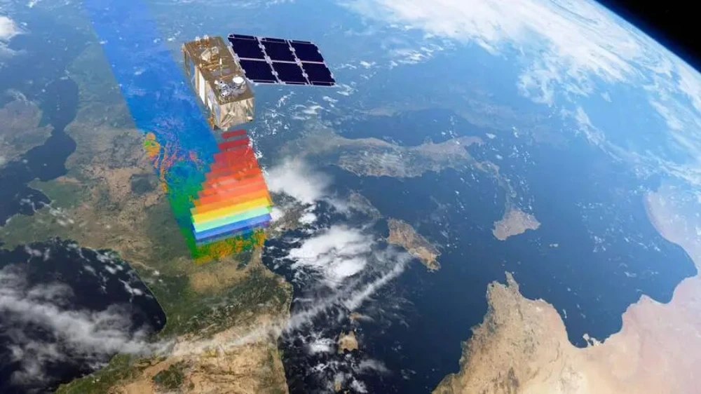
From Imaging to Intelligence: How Smart Remote-Sensing Satellites Are Changing the Market
Several smart remote-sensing satellites have recently been launched in China and other countries, entering a rapidly expanding applications market and attracting growing industry attention. But what does it mean for a remote-sensing satellite to become “smart”? What benefits could onboard intelligence provide, and how might it help satellite operators reach new markets and deliver services…