
Author: starpathwp-production
-

What Is Remote Sensing?
In simple terms, remote sensing is the act of detecting objects in an area and measuring their movements from space. Remote sensing detects and monitors the physical characteristics of the ground by measuring its reflected and emitted radiation from a distance. The sensors used for remote sensing are generally mounted on satellites, aircraft and more…
-

DoD Tech Chief Shyu Begins More Focused Engagement With Commercial Space Sector
COLORADO SPRINGS, Colo.—The Pentagon’s chief technology officer has begun a new effort to work more closely with the commercial space sector to better and more quickly leverage the rapid innovation being churned out by companies. The new effort within the Under Secretary of Defense for Research and Engineering will by led by Lindsay Millard, the…
-

Starship conducts maiden launch – clears launch site and first stage flight
The most powerful rocket in history launched on its second attempt Thursday, the first major step to making life multi-planetary. Liftoff of Starship from Starbase, Texas came after an uneventful countdown, with only a couple of short holds before roaring off the launch mount. The vehicle lost several Raptors during first stage ascent before starting…
-

What Is High Resolution?
High resolution refers to the spatial resolution size of a satellite image. In simple terms, the resolution type will determine the clarity of your optical image. The smaller the pixel size, the more “clear” your image will look. High resolution has a smaller size per pixel offered by a satellite provider. The size of a…
-

Rocket Lab Plans to Reuse Engine on Upcoming Flight
Rocket Lab is planning to use a pre-flown Rutherford engine on an upcoming Electron mission, a milestone in the company’s work to make Electron a reusable rocket vehicle. Rocket Lab announced Wednesday that the engine previously flown on the “There and Back Again” mission, will be used on an upcoming commercial mission scheduled for the…
-

SpaceX launches second batch of V2 mini Starlink satellites
Image: Theresa Cross / Space Explored This is the company’s second batch of V2 “mini” satellites. The first batch launched in February and after a month and a half of troubleshooting problems, SpaceX seems ready to launch more. Today’s launch was supported by Falcon 9 first stage B1073, which completed its eighth mission after being…
-
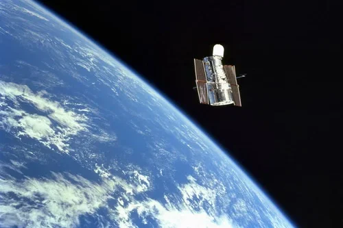
Aitech Introduces New Radiation-Tolerant 1Tb Memory Card
Aitech Systems, a provider of rugged boards and system level solutions for military, aerospace and space applications, has released the S993, a radiation-tolerant 3U CompactPCI memory card that provides up to 1 TB of on-board storage Space NAND flash with all 8 NAND modules installed for a variety of space applications. Both versatile and performance,…
-
What are indices?
Indices are calculated using the multispectral bands. These calculations result in the outputs being in the form of an index with values between 0-1. At the same time, the indices provide additional information about the ground surface being imaged. There are four EarthCache outputs that are under the indices umbrella: NDVI, MSAVI2, EVI and NDWI2.…
-
What Is Spectral Resolution?
Spectral resolution is the ability of a satellite sensor to detect distinct ranges of wavelengths in the electromagnetic spectrum. Essentially the radiation that the sensors receive from the ground can be detected across various wavelengths, including ultraviolet, visible (red, green, blue), infrared and microwave. Ranges of wavelengths are defined as bands in remotely sensed imagery.…
-

What Is Spatial Resolution?
Resolution refers to the spatial resolution a data product has. Spatial resolution can be defined as the amount of data on the ground a single image pixel represents. A 50cm spatial resolution product has 1 pixel representing a 50cm x 50cm area on earth. A 10m spatial resolution product has 1 pixel representing a 10m…