
Author: starpathwp-production
-

MDA Promotes Holly Johnson to Lead Robotics and Space Business
Holly Johnson will lead manufacturer MDA’s Robotics and Space Operations (RSO) division on a permanent basis after taking on the role in an acting capacity earlier this year. MDA promoted Johnson to Vice President of the division and confirmed she will report directly to MDA CEO Mike Greenley. A professional engineer and recipient of Canada’s…
-
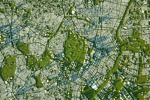
Estimating soil moisture from satellite data
Soil moisture estimates can help farmers assess plant health, aid in predicting crop yields, let governments can help alleviate and protect against floodings, measure urban water use for city planners, and more. While ground sensors are the most accurate tools for tracking water, they are costly and difficult to move quickly. Using satellite sources provides…
-

Using spatial and aerial imagery to estimate crop surfaces
Policymakers, researchers, and organizations need agricultural statistics to monitor production changes, plan future investments and interventions, and estimate crop outputs. However, poor agricultural data can result in disastrous misallocations of resources and unsuccessful policies, as well as having a dire impact on both populations and farmers. Jacques Delincé, a veteran agricultural statistician and former head…
-

Ericsson, Qualcomm Team Up with Thales to Test Satellite 5G Services
Photo by Ericsson Ericsson and Qualcomm announced Monday that they have teamed up with Thales to test satellite-delivered, space-based 5G services to global customers and to validate that 5G non-terrestrial networks (NTN) can be supported in a smartphone form factor allowing the device to effectively become a satellite-phone. Initial tests will take place in an…
-

The 5 Coolest Uses For Satellite Imagery
A satellite image became available in 1972 when NASA launched the first Landsat mission. The technology has been used for countless commercial, humanitarian, academic, and personal reasons for the past four decades and has over 100 satellites. So we decided to put together a list of the 5 coolest uses for satellite imagery. 5. Developing a…
-
Teledyne e2v HiRel Develops 13.9 GHz Synthesizer Module for LEO Space Applications
Teledyne e2v HiRel has announced the availability of a low phase noise 13.9 GHz, delta-sigma modulated fractional-N connectorized frequency synthesizer module for low earth orbit (LEO) space and other demanding applications. The TDFFS014 is a ready-to-use package equipped with SMA connectors, allowing engineers to quickly prototype designs without the need for evaluation boards. The TDFFS014…
-

SpaceX’s 50th dedicated Starlink mission begins filling new network layer
SpaceX’s Falcon 9 rocket fires into orbit from California with 46 Starlink satellites. Credit: SpaceX SpaceX launched the 50th dedicated mission for the Starlink internet network Sunday from California’s Central Coast, deploying 46 broadband relay nodes to begin populating a new polar-orbiting “shell” to fill in gaps in the satellite constellation. The 46 Starlink satellites…
-
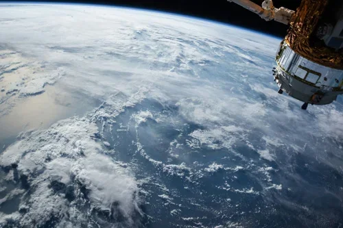
Webb telescope peers deeper into the universe than ever before
This is the first science image released to the public from the James Webb Space Telescope, showing thousands of galaxies in the deepest ever look into the distant universe. Webb’s NIRCam instrument captured this view in different wavelengths with exposures totaling 12.5 hours. Credit: NASA, ESA, CSA, STScI President Biden unveiled the deepest ever look…
-
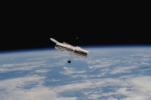
5 Ways to Use Satellite Data For Health
Conversations about satellite data are usually geared around a few narrow industries. However, there is much more that can be done with this technology regarding healthcare. For instance, earth-observation imagery can provide insight and information about the wellness of populations on a larger scale. Healthcare entities can benefit from this knowledge and employ proactive strategies…
-

Nanoracks Confirms Follow-Up Bishop Airlock Mission with Japan’s Gitai
Nanoracks confirmed Monday that it will conduct a second Bishop Airlock mission with Japanese space robotics startup Gitai. A follow-up to the companies’ successful Bishop Airlock demonstration in 2021, the second mission will involve demonstrating “S2,” Gitai’s 1.5 meter-class dexterous robotic system. Bishop Airlock was the first permanent, commercial platform added to the International Space…