
Author: starpathwp-production
-

Studying Volcanoes and Earthquakes with Synthetic Aperture Radar
For over three decades, Synthetic aperture radar (SAR) has been a popular choice for Earth remote sensing. With its high resolution and day-and-night/weather-agnostic monitoring, SAR is utilized in an array of applications – ranging from geoscience and climate research to environmental and Earth system observation, from 2-D and 3-D mapping to 4-D mapping (involving the…
-
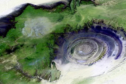
SpaceX shooting for rocket turnaround record with next Starlink launch
SpaceX’s Falcon 9 rocket lands on a drone ship April 8 after launching the Ax-1 private crew mission. The same booster will be used again for the Starlink 4-16 mission west for liftoff April 29. Credit: SpaceX With a mission Friday to deploy more Starlink internet satellites, SpaceX will try to shave nearly a week…
-

Kathy Warden Projects Another Year of Double-Digit Growth for Northrop Grumman Space in 2022
Northrop Grumman’s Space Segment increased sales by 13% in the first quarter of 2021, partially offsetting an overall dip in sales during the quarter. Northrop Grumman reported its first quarter results on April 28. The Space Systems segment reported $2.9 billion in sales in Q1 of 2022, a 13% increase compared to the same quarter…
-
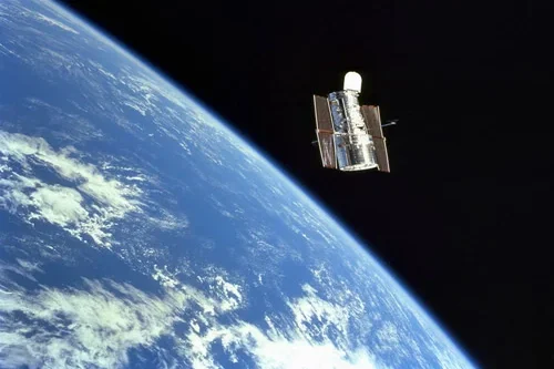
Understanding how Satellite Images are created
Understanding how satellite images are created begins with sensors. Satellite sensors, unlike our eyes, capture much more information and relay it back to us in a format quite different from the photographs we are used to. Satellites capture data by assigning a digital value to each pixel based on the reflectance of the corresponding area…
-
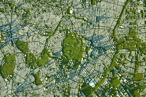
What’s the difference between multispectral, hyperspectral, and SAR?
Multispectral and hyperspectral satellites A sensor’s spatial resolution, or how fine the pixels on the ground will be, is inversely related to its spectral resolution or how well it can discriminate between spectral bands. Because of this, satellites that record data along multiple spectral bands (hyperspectral) do not have the same spatial resolution as satellites…
-
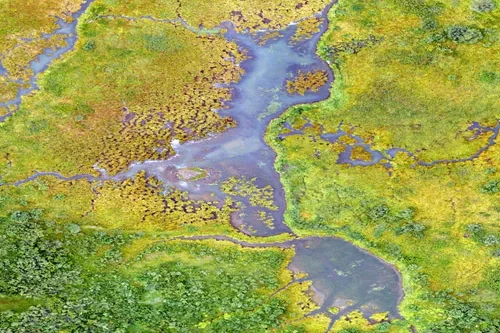
Counting Seals in Cape Cod With Satellites
In the early 1970s, grey seal populations were nearly extinct in North America. Since then, populations have rebounded. Until a few months ago, there was no accurate count of current populations because the number of animals has grown dramatically in the last few decades. During a project to monitor seal populations with cellphone tags —…
-
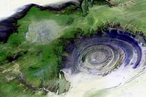
Four astronauts arrive at space station for long-term stay
SpaceX’s Dragon Freedom spacecraft docked Wednesday with the Harmony module at the International Space Station. Credit: NASA TV / Spaceflight Now Three Americans and one Italian astronaut floated into the International Space Station late Wednesday after a nearly 16-hour commute aboard a SpaceX crew capsule from a launch pad in Florida, ready for a multi-month…
-

SSi Canada Buys Additional SES Capacity to Support Government Broadband
SSi Canada purchased additional SES capacity to expand broadband access in Northern Canada, including the Nunavut territory. Under the agreement announced Thursday, SES will provide additional satellite capacity from its Ka-band SES-17 satellite launched last year. Initial capacity will serve Pond Inlet and Iqaluit. This builds on existing agreements through which SSi Canada uses C-Band…
-
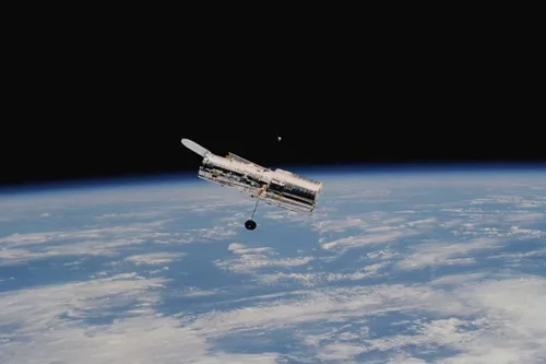
Russian cosmonauts conduct second spacewalk to activate European Robotic Arm
On April 28, Russian cosmonauts Oleg Artemyev and Denis Matveev ventured outside the International Space Station in the second planned spacewalk to activate the European Robotic Arm (ERA). This follows last week’s spacewalk, where astronauts removed covers from the arm and installed a control panel. The spacewalk is known as VKD-53 began at 14:58 UTC.…
-
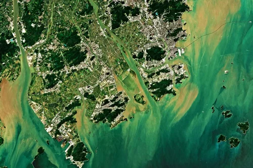
5 Benefits of Using Satellite Imagery Over Drones
According to Euroconsult, the global market for commercial Earth observation data and services will reach $8 billion by 2029, up from $4.6 billion in 2019. Understanding when to use satellite imagery over drones is key to making an informed decision when collecting this data type. Here are 5 benefits of using satellite imagery over drones…