
Author: starpathwp-zyj
-

BeiDou Technology Helps Overcome the “Information Islands” Isolating Small Hydropower Plants in Southwestern China
A research team from China Southern Power Grid’s Guizhou Electric Power Research Institute has integrated BeiDou high-precision positioning and short-message communications into the safety monitoring of small hydropower plants in Guizhou, southwestern China. The technology has completed demonstration applications at three remote hydropower stations, helping address communications blind spots and weak early-warning capabilities in the…
-
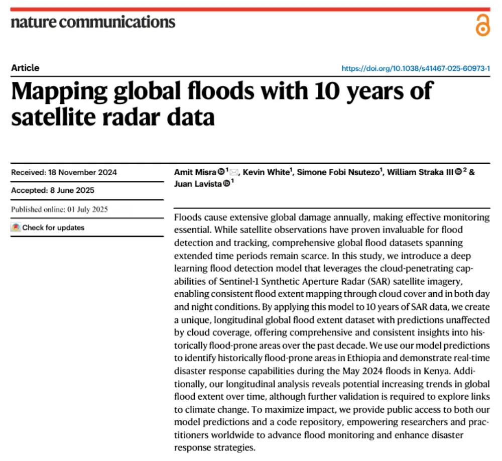
A Decade of Sentinel-1 Scanning the Globe: How Much Flooding Have We Been Missing?
Key takeaway: Several global flood datasets already exist, but their long-term records rely primarily on optical remote sensing from satellites such as MODIS and Landsat. Yet the most severe floods often occur under thick cloud cover. The real question this study seeks to answer is not “How can we detect floods one more time?” but…
-
First Geological Mapping Results from China-Saudi Geoscience Cooperation Released
Saudi Arabia’s Geological Survey released the first batch of 24 detailed 1:100,000-scale geological maps of the Saudi Arabian Shield on Sept. 11 during the Central Asia-West Asia Mining Investment Promotion Conference at the 2026 China International Mining Conference. Led by the China Geological Survey, the project represents a major milestone in China-Saudi geoscience cooperation and…
-
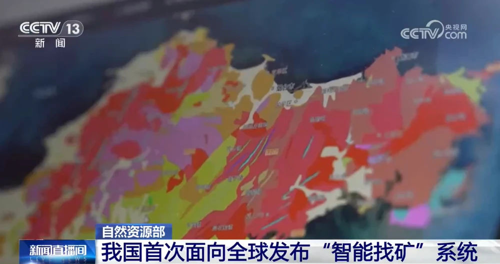
China Unveils First AI Systems for Geological Mapping and Mineral Prospecting
China’s Ministry of Natural Resources on Sept. 11 unveiled the AI-GeoMapping and AI-OreSeeking systems at the 2026 China International Mining Conference, marking the first global release of the two platforms. Developed independently by the China Geological Survey, the systems apply artificial intelligence across the full workflows of basic geological surveying and mineral exploration evaluation. The…
-

China Establishes Unified Standards for GNSS Radio Occultation
China has approved four recommended national standards covering the full technical chain of GNSS radio occultation, from spaceborne sensing payloads to data processing and exchange, the State Administration for Market Regulation and the Standardization Administration of China said Sept. 11. The standards were developed under the coordination of the China Meteorological Administration and are intended…
-

China’s First Open Shared TT&C Platform for Commercial Space Begins Operations in Beijing
China’s first open shared platform for commercial space tracking, telemetry and command (TT&C) services officially began operations Aug. 19 in Beijing, supporting the full measurement and control process for the launch of a Honghu-03 satellite and the recovery of a reusable rocket booster. The Beijing Rocket Street Commercial Space Intelligent TT&C Center, located in Beijing…
-

China Marks 666th Long March Flight with Six Remote-Sensing Satellites
China launched six remote-sensing satellites aboard a Long March 4B rocket Sept. 10, marking the 666th flight of the Long March family and adding new spacecraft for scientific experiments, land-resource surveys, agricultural monitoring and disaster reduction. The Long March 4B ignited at 5 p.m. Beijing time at the Jiuquan Satellite Launch Center and deployed Yaogan-53…
-

China’s New Communications Plan Elevates Satellite Networks in the 6G Roadmap
China’s Ministry of Industry and Information Technology has called for deeper integration between satellite networks and terrestrial communications systems, including satellite-to-phone connectivity, satellite Internet of Things services and the coordinated development of an integrated space network. The requirements are part of China’s Information and Communications Industry Development Plan for the 15th Five-Year Plan period, issued…
-
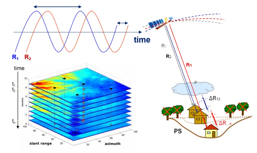
InSAR Monitoring for Infrastructure: Ground Subsidence and Geohazard Assessment
As the old saying goes, it’s better to catch a problem while it’s still small. For infrastructure such as railways, highways, bridges, tunnels, and buildings, many risks do not emerge suddenly. Slopes may deform slowly over months or longer. Railway or road foundations may continue to settle. Unusual ground movement may occur around bridges and…
-
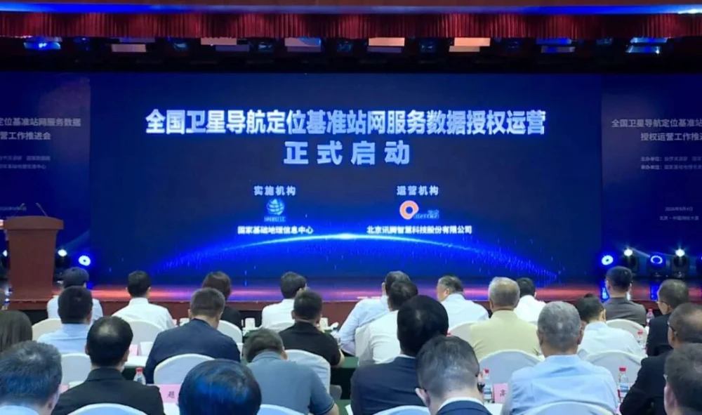
China Launches Authorized Operation of National BeiDou Reference Station Data Network
China has launched authorized commercial operation of service data from its national satellite navigation and positioning reference station network. This marks the first national-level authorization of public-data operations in the field of spatial and temporal information infrastructure. It will help transform the reference station network’s underutilized public data from a public resource into data assets…