
Tag: AOI
-
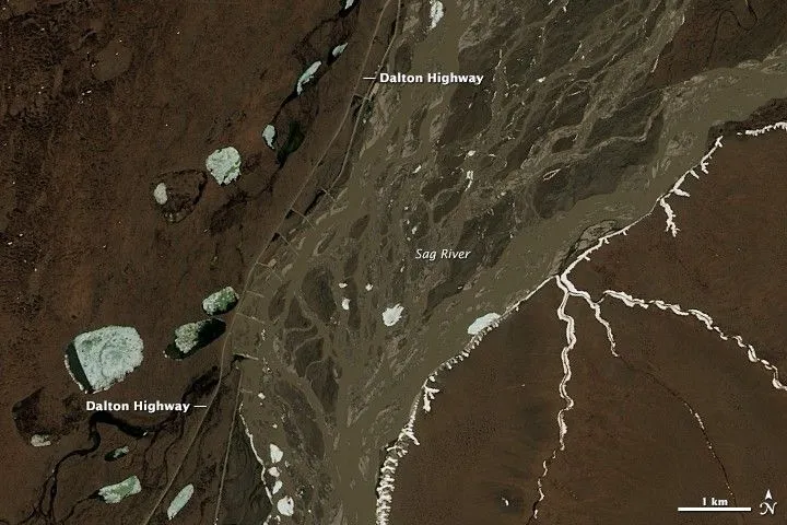
How to Define a Satellite Imagery AOI for Pipeline and Power-Line Corridors
A pipeline or power-line network usually starts as a set of centerlines in a GIS. Turning those lines into a satellite imagery area of interest (AOI) requires decisions about what to monitor, how much surrounding land to include, and which geometry the imagery supplier can accept. A polygon that passes an upload check can still…
-
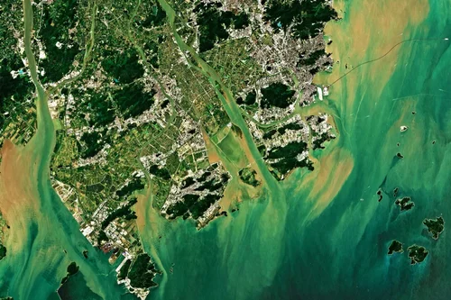
What Is Tasking?
Tasking is the act of “ordering” new satellite imagery from a specific satellite. To task a satellite, coordinates of an area of interest (AOI), time frame and interval are sent to the satellite provider. The satellite will capture an image of that area during the specified time period, weather permitting. The “tasked” image is then…
-
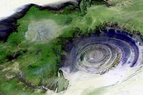
What Is Temporal Resolution?
Temporal resolution, also known as re-visit rates, vary from different providers. Temporal resolution provides information on the time difference between the acquisitions of two images over the same area. Above all, the higher the temporal resolution, the shorter the time difference between the image acquisitions. Each satellite has a maximum number of visits per day…
-

What is AOI?
AOI is an acronym for “Area of Interest.” Knowing your desired AOI will help you in planning your data collection with satellites to ensure you get the right technology in the right place and at the right time. In satellite imagery ordering and tasking workflows, an AOI describes the location for which you are requesting…