
Tag: China Geological Survey
-
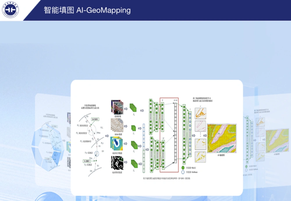
China’s AI-GeoMapping System Guides 400-Square-Kilometer Gobi Survey
China’s AI-GeoMapping system has guided 400 square kilometers of 1:50,000-scale regional geological mapping in northern Alxa, Inner Mongolia, where fused remote-sensing, aeromagnetic and geochemical data helped field teams identify concealed intrusions, faults beneath sediment cover and new mineral-prospecting clues. The Hohhot Natural Resources Comprehensive Survey Center of the China Geological Survey reported on Sept. 24…
-
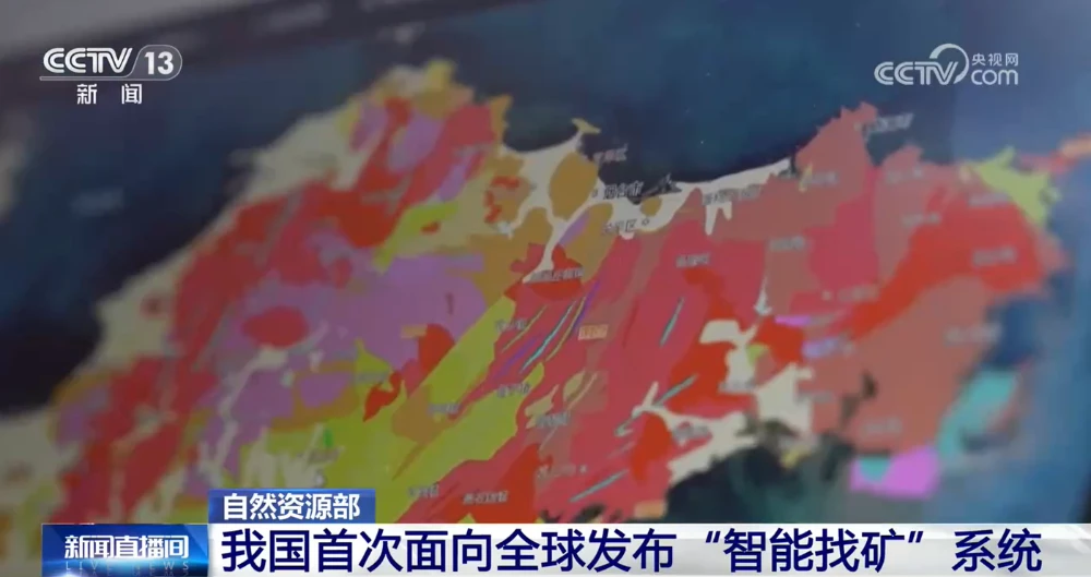
China Unveils First AI Systems for Geological Mapping and Mineral Prospecting
China’s Ministry of Natural Resources on Sept. 11 unveiled the AI-GeoMapping and AI-OreSeeking systems at the 2026 China International Mining Conference, marking the first global release of the two platforms. Developed independently by the China Geological Survey, the systems apply artificial intelligence across the full workflows of basic geological surveying and mineral exploration evaluation. The…