
Tag: China
-
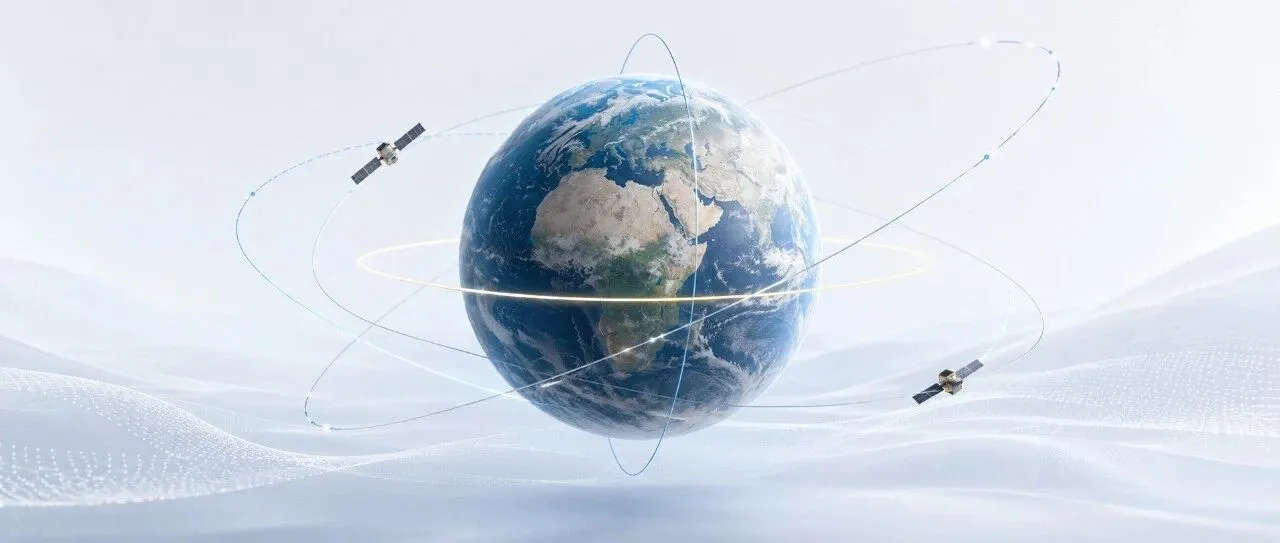
How High and How Inclined Should a Satellite Fly? How Orbital Altitude and Inclination Are Determined
Why do some satellites skim relatively close to Earth and complete an orbit in just over 90 minutes, while others remain above the equator and appear motionless in the sky? And why do some Earth observation satellites designed for near-global coverage deliberately use “retrograde” orbits with inclinations greater than 90 degrees? The answer lies in…
-
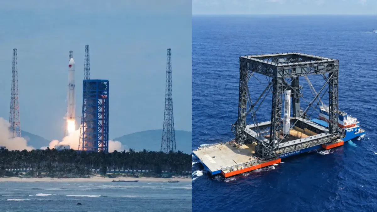
Six Key Metrics for Assessing China’s Reusable Rockets
China’s reusable-rocket race has reached a turning point. With the Long March-10B completing an offshore net-capture recovery and Zhuque-3 Y2 landing its first stage on deployable legs, the country has demonstrated that it can recover intact boosters from orbital-class missions. But landing a rocket is not the same as reusing it—and reuse does not automatically…
-
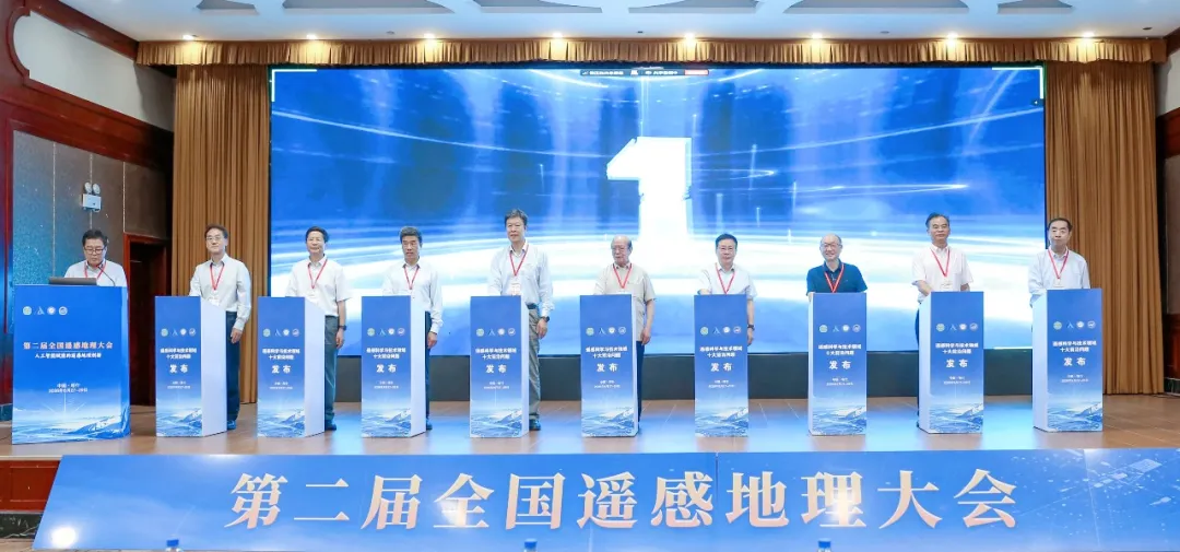
Top 10 Frontier Questions in Remote Sensing Unveiled by Chinese Academy of Sciences Institute
The Aerospace Information Research Institute of the Chinese Academy of Sciences (AIRCAS) announced on August 28 that the Second National Conference on Remote Sensing Geography had opened that day in Kashi, Xinjiang, where the “Top 10 Frontier Questions in Remote Sensing Science and Technology” were officially unveiled. Academicians and experts said remote sensing in China…
-
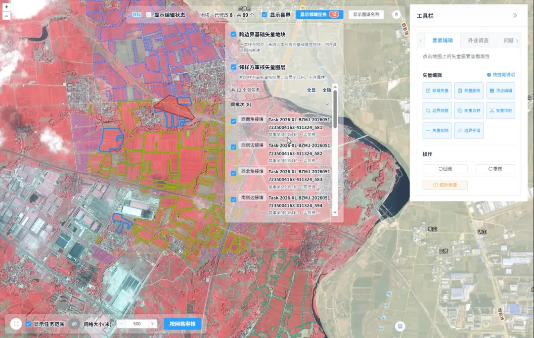
How Is Every Field Accurately Verified? China Uses Remote Sensing for Its Fourth National Agricultural Census
Remote sensing technology has given agricultural censuses “eyes in space,” but satellite imagery alone cannot produce agricultural data with 100% accuracy. Misaligned field boundaries, omitted or duplicated polygons, crop misclassification, and cloud cover obscuring ground conditions are all unavoidable challenges in remote sensing interpretation. These issues emerged during the remote sensing survey verification for China’s…
-
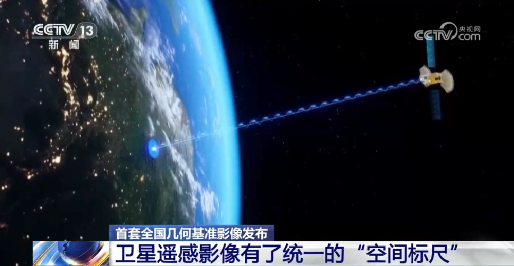
China Releases First Nationwide Geometric Reference Imagery, Creating a Common Spatial Standard for Satellite Data and Cutting Processing Costs
China’s Ministry of Natural Resources has released the country’s first set of geometric reference imagery covering its entire land territory, establishing a common spatial reference for the production and geometric correction of satellite remote-sensing imagery. Announced in late August, the dataset has a spatial resolution better than 0.5 meters and is intended to address a…
-
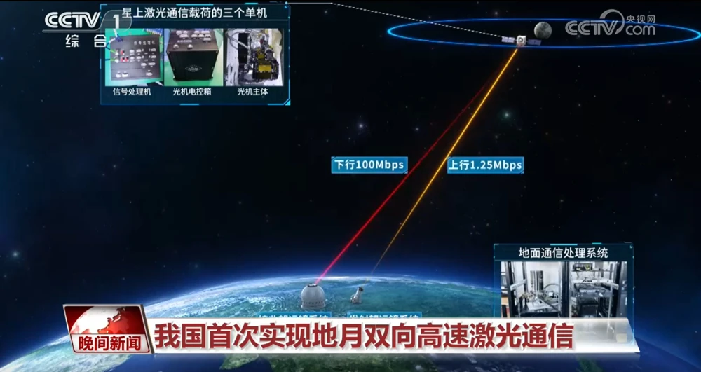
China Achieves First Two-Way High-Speed Earth-Moon Laser Communications
China has achieved two-way high-speed laser communications between Earth and the Moon for the first time, establishing a bidirectional optical link across more than 400,000 kilometers and marking a major expansion of the country’s space laser communications capabilities into cislunar space. The Technology and Engineering Center for Space Utilization of the Chinese Academy of Sciences…
-
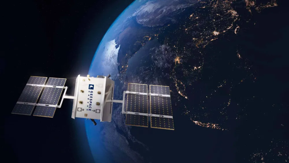
How Many Licenses Does a Chinese Satellite Company Need to Operate a Constellation?
A company can manufacture satellites, launch them, and even complete the initial deployment of a constellation. But charging customers for services still requires regulatory approval. A rocket launch solves the problem of getting into space; legally providing services through a constellation involves an entirely different regulatory chain. On August 20, 2026, China’s Ministry of Industry…
-
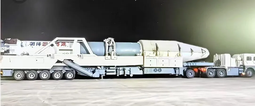
Kuaizhou-11 Y3 Passes Factory Review Ahead of Dual-Satellite Launch
Kuaizhou Aerospace recently announced that the Kuaizhou-11 Y3 carrier rocket has completed all assembly and testing work at its Wuhan base and successfully passed its factory quality review. The rocket will soon be transported to the Jiuquan Satellite Launch Center for a dual-satellite mission carrying Tianyi-51 and Tianyi-52 into orbit. The official launch window has…
-

China–Nepal Border Flood: How Satellite Intelligence Supports Disaster Response When Roads and Communications Fail
Information current as of August 28, 2026. The disaster mechanism, casualty figures, and damage estimates remain subject to revision as field investigations continue. On August 26, 2026, a devastating flood and debris-flow disaster struck the Himalayan region along the border between China’s Xizang Autonomous Region and Nepal. Fast-moving floodwater, sediment, and boulders swept through narrow…
-

Mianyang, Sichuan Uses SAR Satellites to Monitor Ground Deformation and Identify Urban Building Safety Risks
Satellite remote sensing is moving beyond specialized surveying and scientific research into practical applications such as urban governance, agriculture, resource management and infrastructure monitoring. This shift is particularly visible in China. In 2025, China launched more than 120 remote-sensing satellites, while its civilian remote-sensing satellite fleet in orbit exceeded 640, maintaining the country’s position as…