
Tag: Drone Monitoring
-
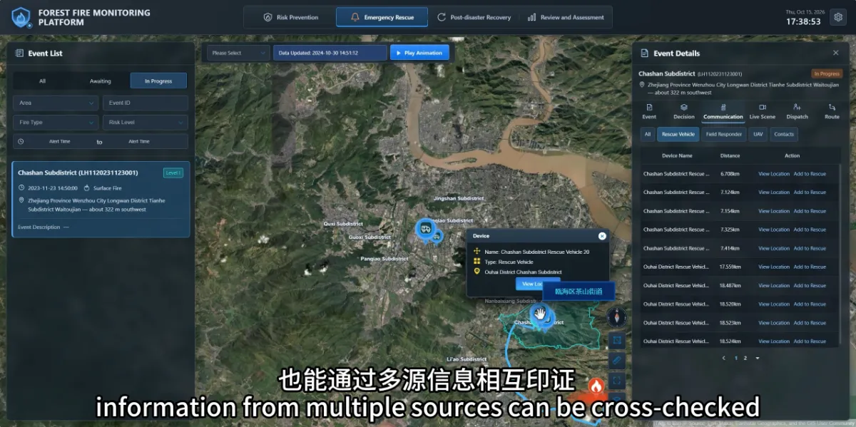
How Can Teams Verify a Potential Wildfire When Clouds or Fog Affect Satellite Observations?
When clouds or fog affect satellite observations, teams can use ground cameras, drones and field reports to continue verification. Information from different sources helps fill gaps that may arise when relying on a single observation method. For forestry staff, the practical questions are: What reliable information is currently available? What remains unknown? How can the…