
Tag: FDE
-
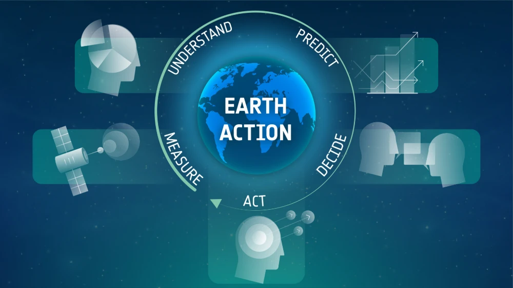
Closing the Last Mile of Earth Observation: How FDEs Turn Geospatial Intelligence into Business Outcomes
“We want to identify risks earlier.” For a mining company managing multiple tailings facilities, this is a natural business objective: regularly acquire satellite imagery, detect changes in the facilities and their surrounding environments, assess potential risk signals, and issue alerts when anomalies may require further attention. From a technical perspective, this may not seem particularly…
-
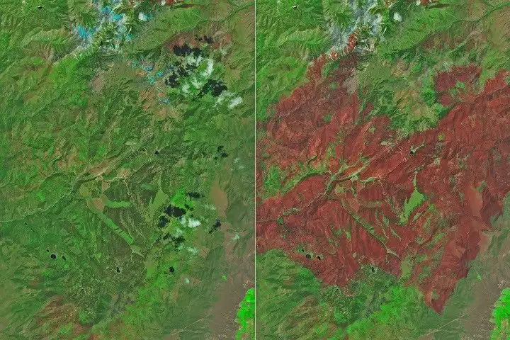
Hyperspectral Satellites Explained: From Spectral Signatures to Decision Intelligence
Introduction: Earth Observation Is Entering a New Era For decades, the Earth observation industry has focused on three metrics: Higher resolution Faster revisit rates Wider coverage These advances have dramatically improved our ability to see the planet. Modern satellites can identify roads, buildings, vehicles, farmland, forests, and infrastructure with remarkable clarity. Yet a fundamental limitation…
-
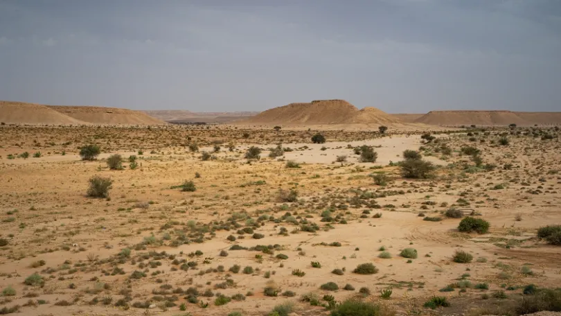
Saudi Arabia Launches 142 Sustainable Investment Opportunities: Satellite Remote Sensing Advances Ecological Monitoring
On July 3, 2026, Saudi Arabia’s National Center for Vegetation Cover Development and Combating Desertification (NCVC), in cooperation with the Federation of Saudi Chambers, announced 142 sustainable investment opportunities across the Kingdom. Covering more than 60 million square meters, the opportunities have investment periods ranging from five to 25 years and include potential projects in…