
Tag: Geological Mapping
-
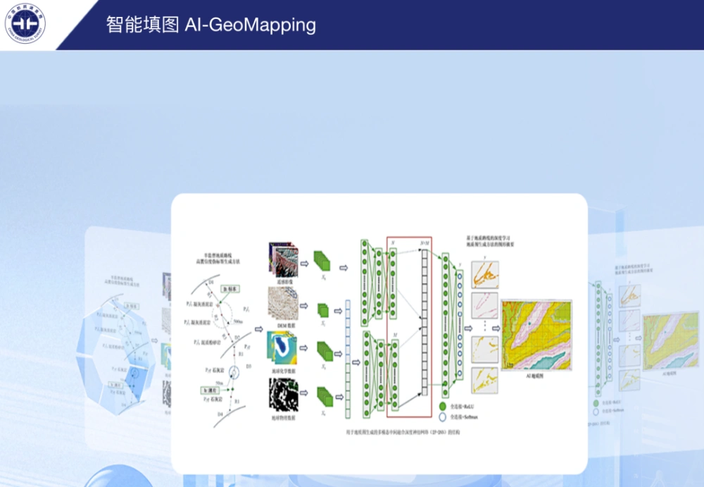
China’s AI-GeoMapping System Guides 400-Square-Kilometer Gobi Survey
China’s AI-GeoMapping system has guided 400 square kilometers of 1:50,000-scale regional geological mapping in northern Alxa, Inner Mongolia, where fused remote-sensing, aeromagnetic and geochemical data helped field teams identify concealed intrusions, faults beneath sediment cover and new mineral-prospecting clues. The Hohhot Natural Resources Comprehensive Survey Center of the China Geological Survey reported on Sept. 24…
-
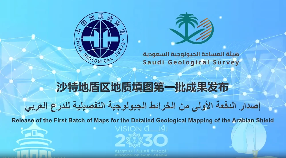
First Geological Mapping Results from China-Saudi Geoscience Cooperation Released
Saudi Arabia’s Geological Survey released the first batch of 24 detailed 1:100,000-scale geological maps of the Saudi Arabian Shield on Sept. 11 during the Central Asia-West Asia Mining Investment Promotion Conference at the 2026 China International Mining Conference. Led by the China Geological Survey, the project represents a major milestone in China-Saudi geoscience cooperation and…