
Tag: Ground Monitoring
-
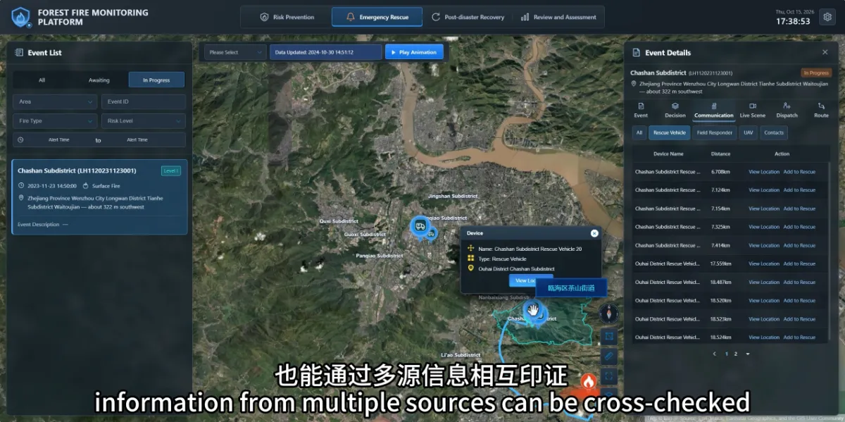
How Can Teams Verify a Potential Wildfire When Clouds or Fog Affect Satellite Observations?
When clouds or fog affect satellite observations, teams can use ground cameras, drones and field reports to continue verification. Information from different sources helps fill gaps that may arise when relying on a single observation method. For forestry staff, the practical questions are: What reliable information is currently available? What remains unknown? How can the…
-
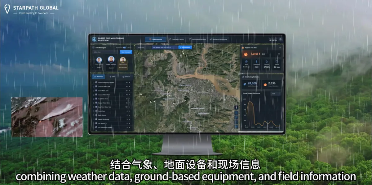
Why Do We Need Satellite Wildfire Monitoring If We Already Have Forest Rangers and Cameras?
Satellite monitoring helps forestry teams cover larger areas and focus patrols and ground monitoring where they are needed most. Across extensive forests and complex terrain, an additional way to identify unusual activity provides another opportunity to investigate potential fires sooner. Forest rangers understand local conditions and can assess situations on site. Cameras provide ongoing observation…