
Tag: Hyperspectral Imagery
-
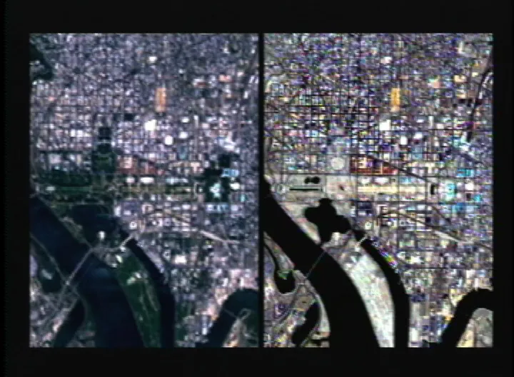
Can You Use Pansharpened Imagery for NDVI and Land Cover Classification?
Yes, pansharpened imagery can be used for land cover classification and, under suitable conditions, NDVI analysis. Whether it should be used depends on the source bands, fusion method and evidence that the resulting product meets the requirements of the task. A sharper image can make roads, tree crowns and field boundaries easier to distinguish. That…