
Tag: Irrigation
-
How Reliable Is Satellite Soil Moisture at Field Scale?
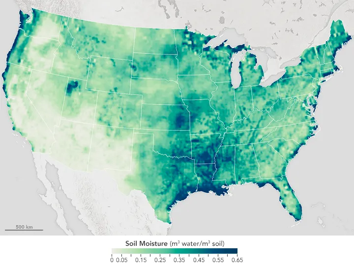
Satellite soil moisture can help identify drying trends, track surface wetting and prioritize agricultural inspections. Whether it can support decisions for an individual field depends on what the product estimates, the area each estimate represents and how it performs against local measurements. A map displayed at 30 metres does not necessarily contain independent 30-metre observations.…