
Tag: Power Lines
-
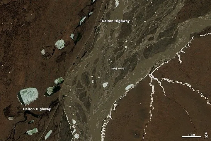
How to Define a Satellite Imagery AOI for Pipeline and Power-Line Corridors
A pipeline or power-line network usually starts as a set of centerlines in a GIS. Turning those lines into a satellite imagery area of interest (AOI) requires decisions about what to monitor, how much surrounding land to include, and which geometry the imagery supplier can accept. A polygon that passes an upload check can still…